Joshua Tree South Dispersed Camping Area
Campground
Campground · 0.6 mi from the trail
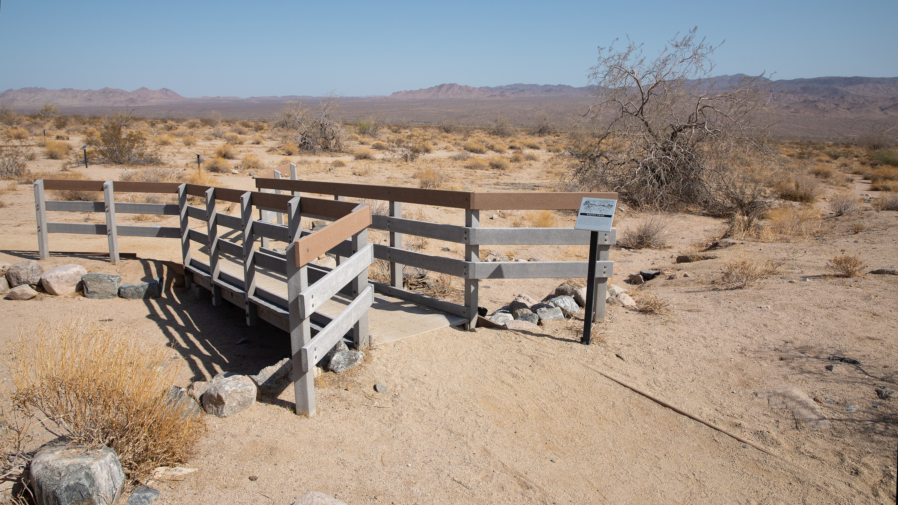 Photo: NPS / Preston Jordan Jr.
Alert in the area
The National Park Service lists 2 alerts for Joshua Tree National Park.
Inaccurate Third-Party Apps
Park alert covering Joshua Tree National Park · NPS · Joshua Tree National Park
Oasis of Mara Trail Partial Closure
Park alert covering Joshua Tree National Park · NPS · Joshua Tree National Park
As of · Source: NPS · Joshua Tree National Park. Agencies don't list every closure — check before you go.
The Bajada Nature Trail is a short, flat, quarter-mile nature trail that meanders through common vegetation found in the Colorado Desert. Along the trail are interpretive signs highlighting different plants and their adaptations and uses. The trail is located near the southern boundary of the park, south of the Cottonwood Visitor Center. It is much lower in elevation than most of the park and offers a unique showcase of plants highly adapted to extreme heat and little rain. Occasionally, after wet winters, this trail will offer vibrant displays of wildflowers in February and March. For more information on wildflowers, visit our Wildflower Viewing Page. This trail offers little to no shade so make sure to bring proper sun protection. Stats • Length: 0.25 miles • Surface material: hard-packed sand • Elevation gain: 20 feet • This is a loop trail Barriers Transitioning from the parking lot to the ramp and then off the ramp onto trail may invlolve changes in the level exceeding 1 inch, depending on weather condiitons. There is a narrow section of the trail where you must go over a boardwalk section. Parking There are: • 1 standard accessible spaces • 10 other spaces Restrooms The nearest restroom is at Cottonwood Visitor Center, approximately 5.6 miles to the north on Pinto Basin Road.
Joshua Tree South Dispersed Camping Area
Campground
General George S. Patton Museum
Museum
Places © OpenStreetMap contributors, Places © Overture Maps Foundation
More in CoachellaNot on Roamze yet. Their page has how to reach them.
Wildflowers (Bajada Nature Trail)HikingPhoto: NPS / Preston Jordan Jr.0.1 mi Pinto BasinRock climbingPhoto: aboutmytripdotcom, CC BY 2.0 (via Flickr)2.6 mi
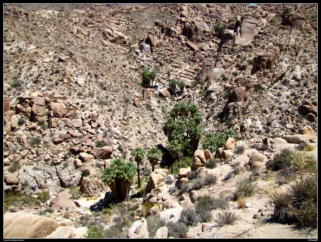 Lost Palms Oasis TrailHikingPhoto: ondraposp, CC BY-SA 2.0 (via Flickr)2.9 mi
 Mastodon Mine Loop TrailHikingPhoto: daveynin, CC BY 2.0 (via Flickr)3.5 mi
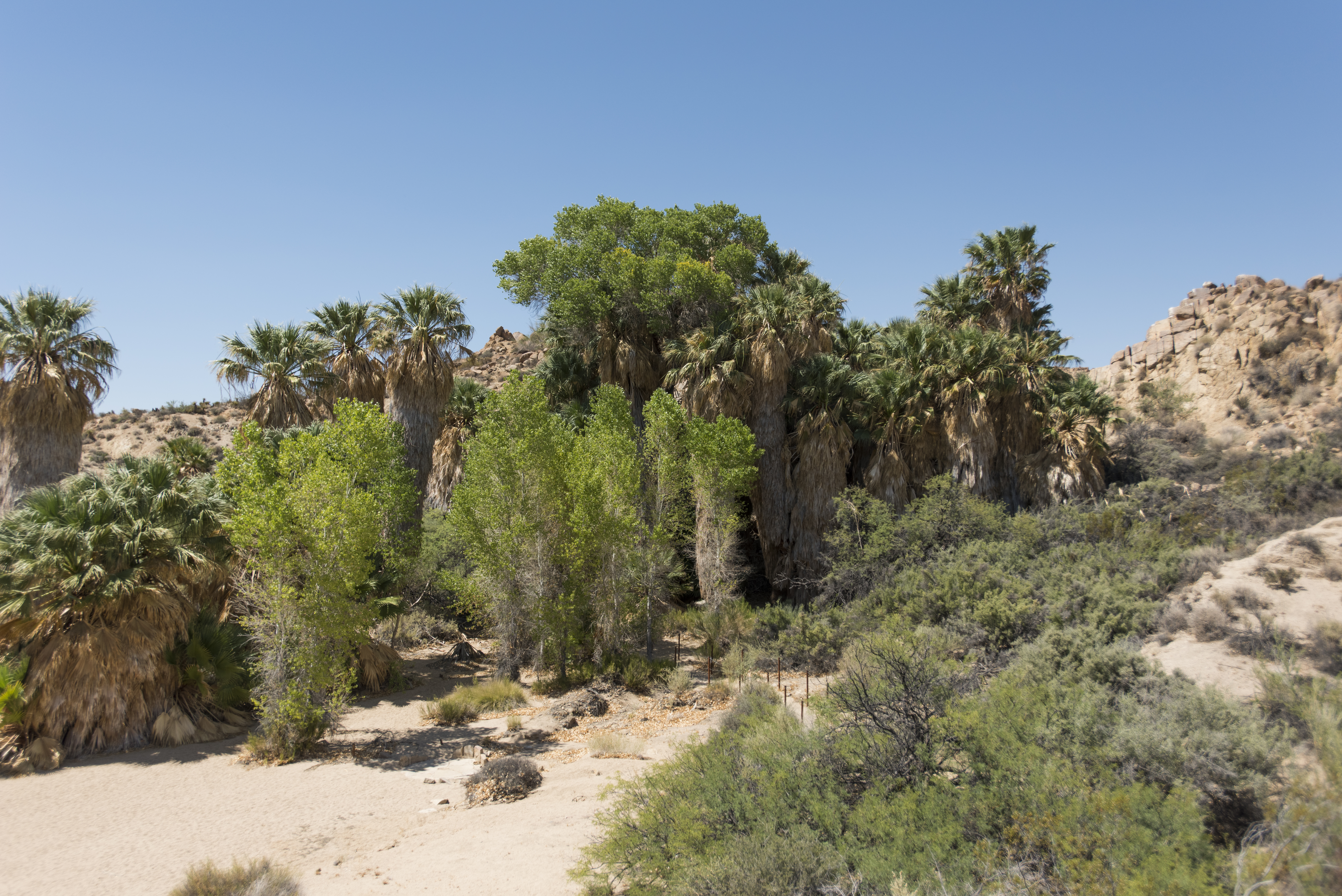 Cottonwood SpringHikingPhoto: NPS / Brad Sutton3.9 mi
Source: Roamze catalog (indexable pages within 10 miles, PostGIS distance)
Lost Palms Oasis TrailHiking · ~5 min drivePhoto: ondraposp, CC BY-SA 2.0 (via Flickr) RidgeHiking · ~20 min drivePhoto: GSEC, CC BY 2.0 (via Flickr)
 Lost Palms Oasis TrailHiking · ~5 min drivePhoto: jimmyharris, CC BY 2.0 (via Flickr)
 Hexehedron Main TrailHiking · ~35 min drivePhoto: inkknife_2000 (7.5 million views +), CC BY-SA 2.0 (via Wikimedia Commons)Mastodon Mine Loop TrailHiking · ~6 min drivePhoto: daveynin, CC BY 2.0 (via Flickr)
 faint pathHiking · ~37 min drivePhoto: GSEC, CC BY 2.0 (via Flickr)CanyonHiking · ~19 min drivePhoto: GSEC, CC BY 2.0 (via Flickr)
Also worth it near here
Pinto BasinRock climbing · ~4 min drivePhoto: aboutmytripdotcom, CC BY 2.0 (via Flickr) Cottonwood CampgroundCamping · ~8 min drivePhoto: Robb Hannawacker, while working for Joshua Tree National Park, Public domain (via Wikimedia Commons)
Best months: November–April. Best months have typical highs of 55–85 °F, lows of 30 °F or warmer (32 °F where the station doesn't record snow), at most one snowy day and no more than 12 wet days.
Jan
66° / 40°
Feb
67° / 42°
Mar
75° / 46°
Apr
83° / 51°
May
89° / 58°
Jun
99° / 66°
Jul
103° / 74°
Aug
101° / 75°
Sep
96° / 68°
Oct
86° / 56°
Nov
74° / 46°
Dec
64° / 40°
Typical high / low (°F) and days with rain or snow, 1991–2020. Measured at Chiriaco Summit, CA, 4.9 mi away at 1,706 ft. This station doesn't record snowfall. Source: NOAA NCEI U.S. Climate Normals 1991–2020.
