Juniper
At a glance
Juniper is a hike in the Springerville Ranger District of the Apache-Sitgreaves National Forests in eastern Arizona, about 2.9 miles long with a total elevation gain of 294 feet. The Forest Service manages the land. Late spring and early fall are the most comfortable times to go. Typical averages from a nearby weather station in Greer show May highs around 66°F and October highs around 61°F, while July and August bring the most wet days, about 14 to 16 a month. The trail sits close to several mountain biking routes, including Ponderosa at 0.4 miles and Pinyon at 0.7 miles. Rolfe C. Hoyer Campground is about 1.3 miles away, and Benny Creek Campground is about 1.9 miles away.
- loop
- 2.9 mi
- climb
- 294 ft
- route
- Loop
- difficulty
- Easy
- best months
- Early May–mid-Oct
Where it is: Springerville Ranger District · Apache-Sitgreaves National Forests
Near: Greer
Best weeks to go
Early May to mid-October is usually best for hiking here.
Typical highs of 62–78°F and lows of 31°F or warmer in those weeks. Rain falls on about 55% of days at the wettest of them, so plan around showers.
Typical weather: NOAA 1991–2020 normals at Greer, AZ, 1 mi away. Not a forecast.
Typical weather by monthBest time to visit Juniper
Best months: May–September. Best months are the ones mostly made of the best weeks for hiking: typical temperatures in its comfortable range, few snowy days and not usually wet, judged with the same limits as our good-day forecasts.
Jan
43°
14°
5 wet
Feb
45°
16°
5 wet
Mar
50°
22°
5 wet
Apr
57°
26°
3 wet
May
66°
33°
4 wet
Jun
76°
41°
5 wet
Jul
76°
47°
14 wet
Aug
73°
46°
16 wet
Sep
70°
41°
8 wet
Oct
61°
30°
5 wet
Nov
51°
21°
4 wet
Dec
43°
14°
5 wet
Typical high / low (°F) and days with rain or snow, 1991–2020. Measured at Greer, AZ, 1.4 mi away at 8,275 ft. We don't have this place's elevation, so higher spots nearby can run cooler. This station doesn't record snowfall. Source: NOAA NCEI U.S. Climate Normals 1991–2020.
Been here? Tell people how it was.
 PinyonHikingPhoto: WaterArchives.org from Sacramento, California, USA, CC BY-SA 2.0 (via Wikimedia Commons)~2 min drive
 Mt Baldy CrossoverHikingPhoto: Clay Gilliland, CC BY-SA 2.0 (via Flickr)~9 min drive
 South ForkHikingPhoto: Clay Gilliland, CC BY-SA 2.0 (via Flickr)~11 min drive
 East BaldyHikingPhoto: Greggens, CC BY-SA 4.0 (via Wikimedia Commons)~12 min drive
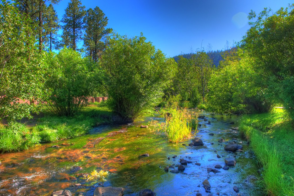 East ForkHikingPhoto: neepster, CC BY-SA 2.0 (via Flickr)~4 min drive
- Overland ConnectorHikingPhoto: Clay Gilliland, CC BY-SA 2.0 (via Flickr)~14 min drive
- Apache VistaHikingPhoto: Clay Gilliland, CC BY-SA 2.0 (via Flickr)~13 min drive
- West BaldyHikingPhoto: Clay Gilliland, CC BY-SA 2.0 (via Flickr)~9 min drive
 Big Lake NatureHikingPhoto: USDAgov, Public Domain Mark (via Flickr)~19 min drive
- AspenHiking~3 min drive
Conditions and forecast
Daily highs and lows, wind and the chance of precipitation at Start for the next 7 days, from the Open-Meteo model.
Ask about this place
Questions about Juniper: conditions, access, timing. Answers say when something isn't known.
Local outfitters
- Alpine Village RV Park23 mi away
Not on Roamze yet. Their page has how to reach them.
