Gulch Spur A
At a glance
Gulch Spur A is an easy, out-and-back hike of about 1.3 miles in the Mountain City-Ruby Mountains-Jarbidge Ranger District of Nevada's Humboldt-Toiyabe National Forest. The Forest Service manages the land, and the route rises about 82 feet from start to finish, making it a gentle walk rather than a climb. Late spring and early fall are the most comfortable times to go. Typical averages from the Wild Horse Rsvr weather station, 18 miles away, show June highs around 73°F and September highs around 74°F, with July the warmest month at about 85°F. Snow is common from December through March, with highs in the low 30s and lows below 10. Several other hikes sit close by. Walker 1 is about 0.9 miles away and Dip about 1.1 miles. Dip Spur A and Summitt Spur A are each within about 2 miles.
- round trip
- 0.6 mi
- climb
- 82 ft
- route
- Out and back
- difficulty
- Easy
Where it is: Mountain City-Ruby Mountains-Jarbidge Ranger District · Humboldt-Toiyabe National Forest
When to go
Best time to go: May–Sep. The mildest months here, with typical highs of 62–85°F and lows of 30–41°F.
Typical monthly averages (not a forecast) from the Wild Horse Rsvr, NV weather station, 18 mi away. High / low in °F, and days with snow.
- Jan33° high5° low9 days with snow
- Feb36° high8° low8 days with snow
- Mar44° high17° low7 days with snow
- Apr52° high25° low5 days with snow
- May62° high30° low2 days with snow
- Jun73° high36° low
- Jul85° high41° low
- Aug83° high39° low
- Sep74° high31° low
- Oct59° high23° low2 days with snow
- Nov45° high16° low5 days with snow
- Dec34° high7° low9 days with snow
Been here? Tell people how it was.
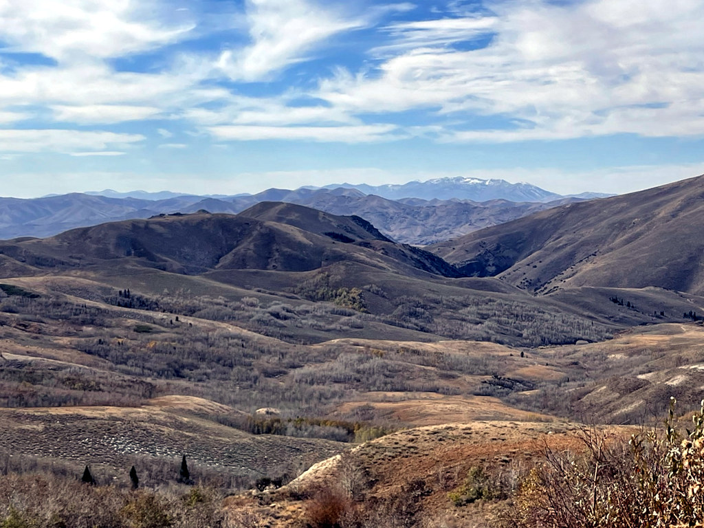 Pine CreekHikingPhoto: simonov, CC BY-SA 2.0 (via Flickr)~38 min drive
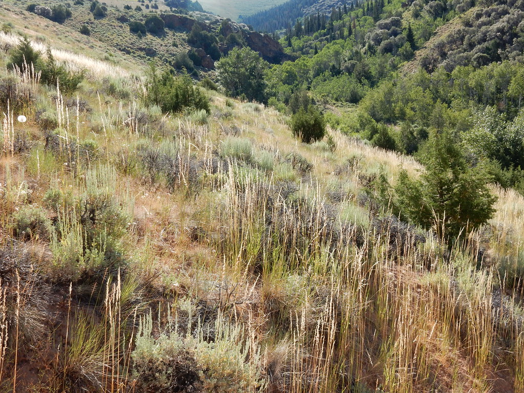 Jenny CreekHikingPhoto: Matt Lavin, CC BY-SA 2.0 (via Flickr)~40 min drive
 Jenny CreekHikingPhoto: Matt Lavin, CC BY-SA 2.0 (via Flickr)~42 min drive
- WALKER 1Hiking~2 min drive
- JennyHikingPhoto: Matt Lavin, CC BY-SA 2.0 (via Flickr)~41 min drive
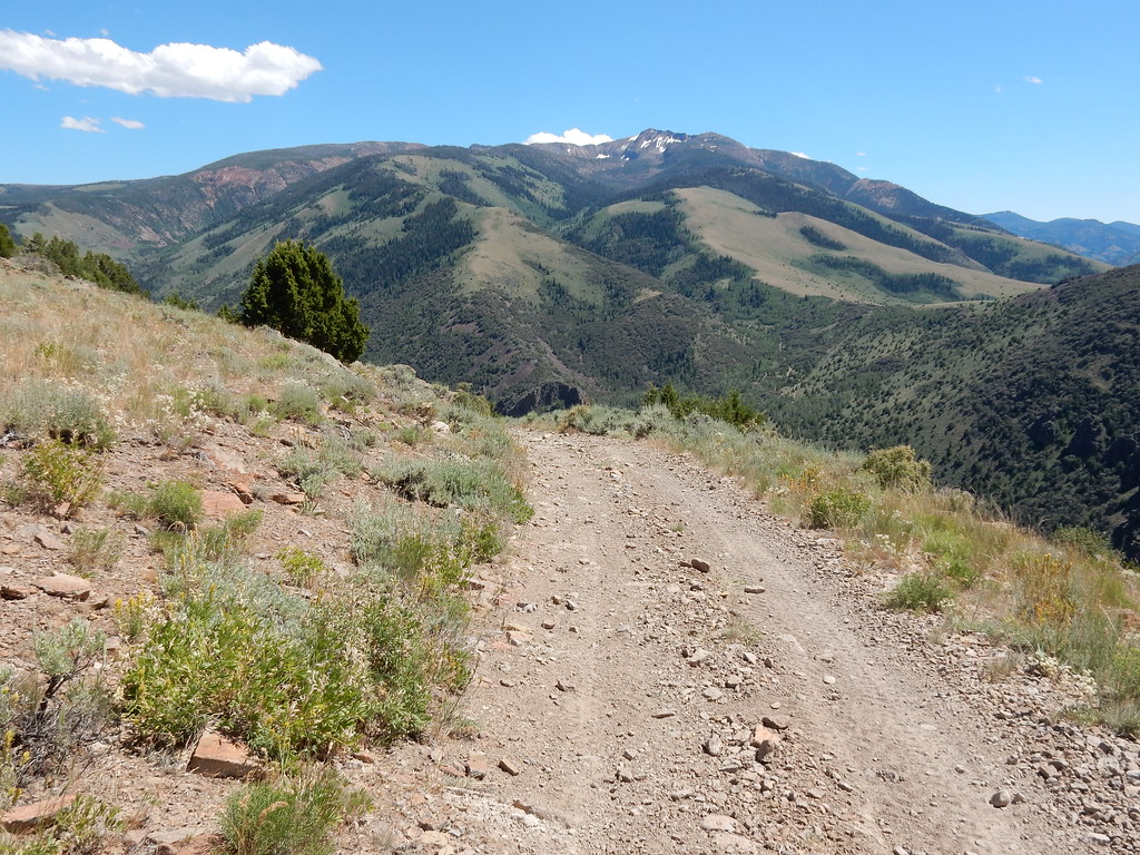 Clover TrailHikingPhoto: Matt Lavin, CC BY-SA 2.0 (via Flickr)~40 min drive
- DipHiking~2 min drive
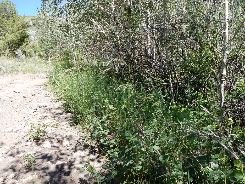 Jack CreekHikingPhoto: Matt Lavin, CC BY-SA 2.0 (via Flickr)~41 min drive
 Altitude TrailHikingPhoto: Matt Lavin, CC BY-SA 2.0 (via Flickr)~44 min drive
- Dip Spur AHiking~2 min drive
Conditions and forecast
Daily highs and lows, wind and the chance of precipitation at Start for the next 7 days, from the Open-Meteo model.

Ask about this place
Questions about Gulch Spur A: conditions, access, timing. Answers say when something isn't known.
