Encerrito
At a glance
Encerrito is a summit of 7,051 feet in El Malpais National Monument in New Mexico, about 11 miles from the town of San Rafael. It sits within the monument's boundaries, and the surrounding area is a network of trails and climbing routes. Spring and fall are the most comfortable times to visit. Typical averages from a nearby weather station at Grants show May highs around 80°F and October highs around 73°F, while July and August climb into the low 90s with more frequent wet days. The Cdt hike passes just 0.1 mile away, and the Acoma-Zuni Trail is under a mile off. The Continental Divide Trail lies about 1.8 miles away, and the El Malpais climbing area is roughly 5.7 miles away.
- summit
- 7,051 ft
- ways up
- 2
- best months
- May, Sep–Oct
Where it is: El Malpais National Monument
Near: Grants
Best time to visit Encerrito
Best months: May and September–October. Best months have typical highs of 55–85 °F, lows of 30 °F or warmer (32 °F where the station doesn't record snow), at most one snowy day and no more than 12 wet days.
Jan
50°
15°
4 wet
Feb
56°
17°
3 wet
Mar
64°
23°
3 wet
Apr
70°
31°
3 wet
May
80°
39°
3 wet
Jun
90°
48°
4 wet
Jul
92°
55°
8 wet
Aug
89°
53°
10 wet
Sep
83°
45°
6 wet
Oct
73°
32°
4 wet
Nov
60°
21°
4 wet
Dec
50°
14°
4 wet
Typical high / low (°F) and days with rain or snow, 1991–2020. Measured at Grants Ap, NM, 15.5 mi away at 6,520 ft. The station sits about 500 ft lower than this place, so expect it a little cooler here. This station doesn't record snowfall. Source: NOAA NCEI U.S. Climate Normals 1991–2020.
Been here? Tell people how it was.
- Acoma-Zuni TrailEasyFrom Zuni-Acoma Trailhead · about 197 ft of climbing2.3 mi round trip
- CdtModerateabout 205 ft of climbing5.0 mi round trip
Compare the routes Acoma-Zuni Trail Cdt Starts at Zuni-Acoma Trailhead — Climbing About 197 ft About 205 ft Round trip 2.3 mi 5.0 mi Difficulty Easy Moderate Terrain Hike Hike Map © Mapbox © OpenStreetMap contributors - Cerrito Comadre7,770 ft · New Mexico1 route13 mi away
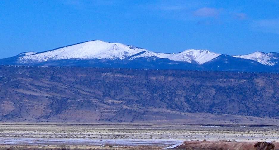 Mount Taylor11,301 ft · New Mexico1 route28 mi awayPhoto: ANNAfoxlover at English Wikipedia / Later version(s) were uploaded by Casito at English Wikipedia., Public domain (via Wikimedia Commons)
- El Cerro De Los Lunas5,954 ft · New Mexico2 routes65 mi away
- Cabezon Peak7,786 ft · New Mexico1 route66 mi away
- J A Volcano5,939 ft · New Mexico2 routes67 mi away
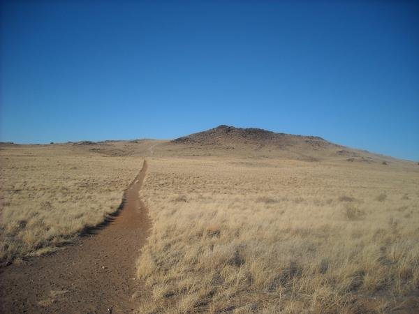 Black Volcano5,981 ft · New Mexico2 routes67 mi awayPhoto: User:michaelh2001, Public domain (via Wikimedia Commons)
- CdtHiking0.1 mi
- Acoma-Zuni TrailHiking0.9 mi
- San Rafel RoadHiking1 mi
- Continental Divide TrailHiking1.8 mi
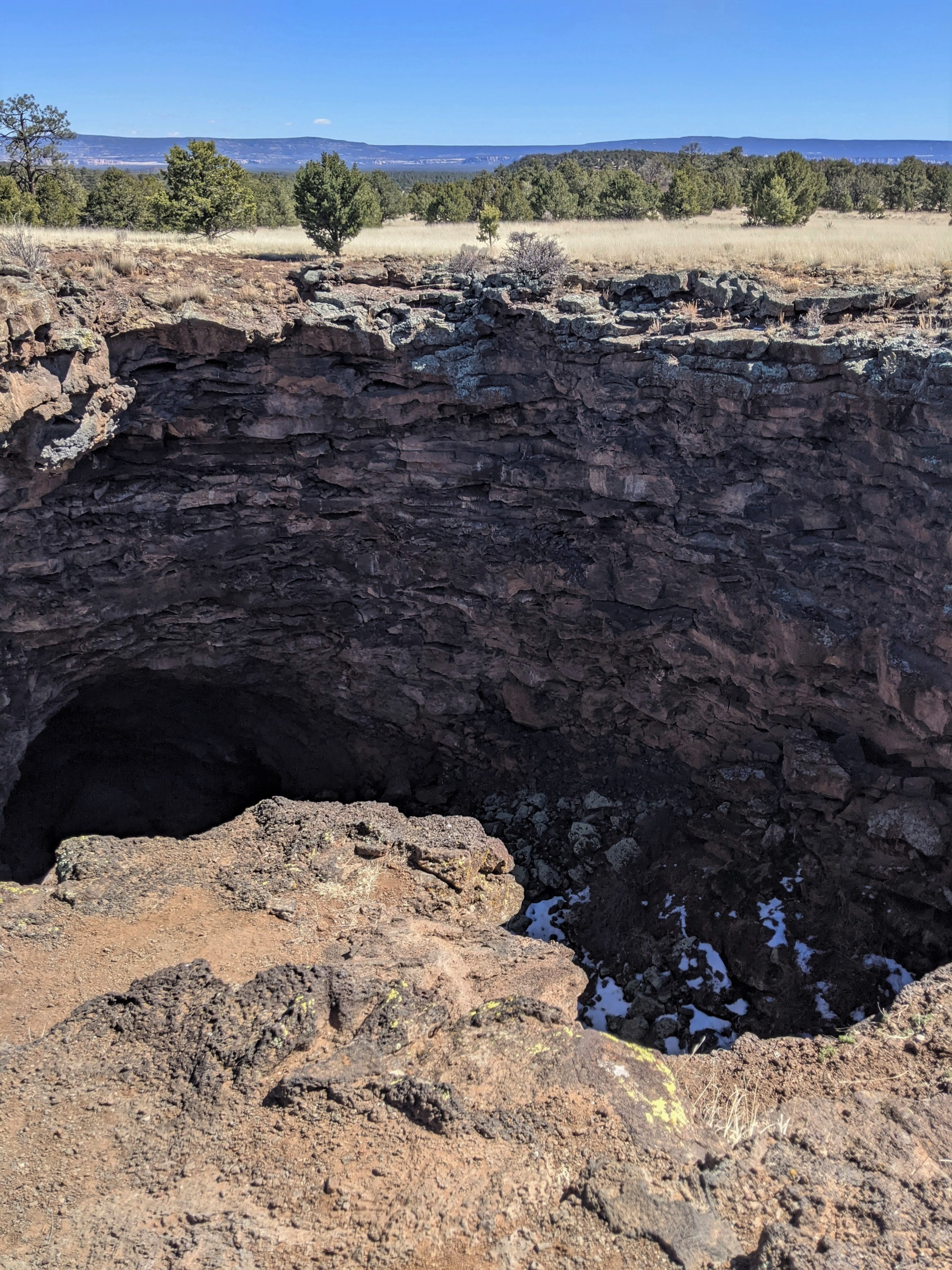 Double SinksHikingPhoto: NPS Molly Mays4.2 mi
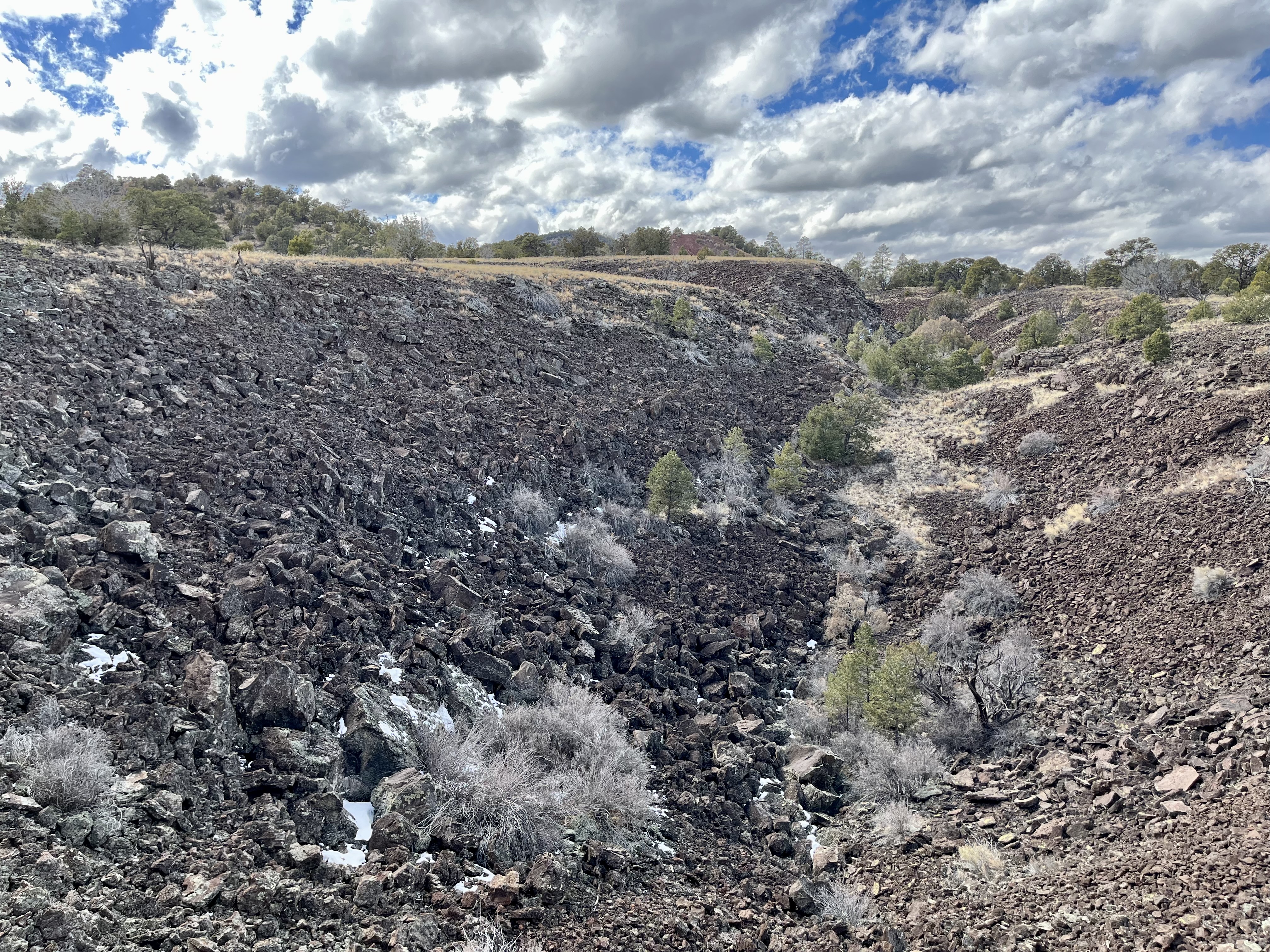 El Calderon Lava TrenchHikingPhoto: NPS Photo4.4 mi
 El Calderon TrailHikingPhoto: Fredlyfish4, CC BY-SA 4.0 (via Wikimedia Commons)4.5 mi
 El MalpaisRock climbingPhoto: RuggyBearLA, CC BY-SA 2.0 (via Flickr)5.7 mi
Conditions and forecast
Daily highs and lows, wind and the chance of precipitation at the summit and zuni-acoma trailhead for the next 7 days, from the Open-Meteo model.
Questions about Encerrito
How tall is Encerrito?
7,051 ft (2,149 m).
How many routes go to the summit of Encerrito?
2: Acoma-Zuni Trail and Cdt.
What is the shortest route up Encerrito?
Acoma-Zuni Trail, about 2.3 mi round trip.
Where do the routes up Encerrito start?
Acoma-Zuni Trail starts at Zuni-Acoma Trailhead.

Ask about this place
Questions about Encerrito: conditions, access, timing. Answers say when something isn't known.
