Mount Taylor
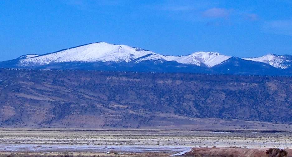 Photo: ANNAfoxlover at English Wikipedia / Later version(s) were uploaded by Casito at English Wikipedia., Public domain (via Wikimedia Commons)
- 11,301 ft
- summit
- 1
- way up
- Forest Service
- managed by
Is Mount Taylor open right now?
Closure in the area
There's a closure order in Mount Taylor Ranger District. It doesn't name Mount Taylor, so check the source for the area it covers.
Fort Wingate Closure Order for U.S. Army Missile Test Launch
Agency closure covering Mount Taylor Ranger District · Order 03-03-02-26-22 · USFS · Mount Taylor Ranger District
As of · Source: USFS · Mount Taylor Ranger District. Agencies don't list every closure — check before you go.
Mount Taylor is a summit of about 11,301 feet in Cibola County, New Mexico, on the Mount Taylor Ranger District of the Cibola National Forest. The Forest Service manages the land, and the nearest town is Lobo Canyon, about 6.4 miles away. Several trails start close by. Gooseberry is about half a mile away, and Water Canyon is about 0.7 miles off. The Continental Divide Trail is about 1.7 miles away, and the Johnson Trail is about the same distance.
Conditions and forecast
Daily highs and lows, wind and the chance of precipitation at the summit and route start for the next 7 days, from the Open-Meteo model.
- Summit elevation
- 11,301 ft
- Land manager
- Forest Service
Elevation from USGS 3D Elevation Program terrain data (about 10 m resolution).
Map © Mapbox © OpenStreetMap contributors Questions about Mount Taylor
How tall is Mount Taylor?
11,301 ft (3,445 m).
How many routes go to the summit of Mount Taylor?
One: Gooseberry.
When is the best time to climb Mount Taylor?
Year-round.
- Encerrito7,051 ft · New Mexico2 routes28 mi away
- Cerrito Comadre7,770 ft · New Mexico1 route37 mi away
- Cabezon Peak7,786 ft · New Mexico1 route38 mi away
- Butte Volcano5,877 ft · New Mexico1 route48 mi away
- Bond Volcano5,880 ft · New Mexico2 routes48 mi away
- Vulcan Volcano6,032 ft · New Mexico2 routes48 mi away
- GooseberryHiking0.6 mi
- Water CanyonHiking0.7 mi
- Continental Divide TrailHiking1.7 mi
- Forest Svc 453B RoadHiking1.7 mi
- Johnson TrailHiking1.7 mi
- QuadCross-country skiing2.1 mi
- Canovitas Canyon TrailHiking2.2 mi
- Forest Svc 193 RoadHiking3.1 mi
Source: Roamze catalog (indexable pages within 10 miles, PostGIS distance)
 Acoma RockSummit · ~41 min drivePhoto: Thomas Moran, Public domain (via Wikimedia Commons)
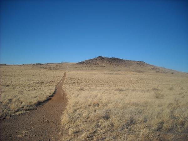 Black VolcanoSummit · ~1h 22m drivePhoto: User:michaelh2001, Public domain (via Wikimedia Commons)
- EncerritoSummit · ~47 min drive
- Cabezon PeakSummit · ~1h 5m drive
- Butte VolcanoSummit · ~1h 22m drive
- CinderSummit · ~1h 22m drive
- J A VolcanoSummit · ~1h 22m drive
- Cerrito ComadreSummit · ~1h 3m drive
- Bond VolcanoSummit · ~1h 22m drive
- Vulcan VolcanoSummit · ~1h 22m drive
