Acoma-Zuni Trail
- 1.1 mi
- round trip
- 197 ft
- climb
- 6,937 ft
- high point
- Out and back
- route
- May, Sep–Oct
- best months
Is Acoma-Zuni Trail open right now?
Closure in the area
There's a closure order in El Malpais National Monument. It doesn't name Acoma-Zuni Trail, so check the source for the area it covers (2 listed).
El Calderon Trail closed for construction through November 2026
Park closure covering El Malpais National Monument · NPS · El Malpais National Monument
All lava tube caves closed November 1 through April 30
Park closure covering El Malpais National Monument · NPS · El Malpais National Monument
NPS 300 Road Conditions
Park alert covering El Malpais National Monument · NPS · El Malpais National Monument
As of · Source: NPS · El Malpais National Monument. Agencies don't list every closure — check before you go.
The Acoma-Zuni Trail is an easy out-and-back hike of about 2.3 miles in El Malpais National Monument in New Mexico. The route starts at the Zuni-Acoma Trailhead, which sits at roughly 6,932 feet, and climbs to a high point of about 6,937 feet before descending back to the trailhead. The total elevation gain is about 197 feet, and the steepest stretch comes near the top of the climb at about 0.99 miles in. Late spring and early fall are the most comfortable times to go. Typical averages from the Grants airport weather station, about 15 miles away, show highs around 80°F in May and 83°F in September, while July highs average about 92°F and August brings the most wet days of the year. San Rafel Road lies just 0.1 mile from the trailhead, and the Cdt and the Continental Divide Trail are both within about 1.6 miles. Double Sinks is roughly 3.6 miles away.
Local outfitters
- El Morro RV Park & Cabins22 mi away
- Pie Town RV Park47 mi away
Not on Roamze yet. Their page has how to reach them.
Conditions and forecast on Encerrito
Daily highs and lows, wind and the chance of precipitation at the summit and route start for the next 7 days, from the Open-Meteo model.
- San Rafel RoadHiking0.1 mi
- CdtHiking1 mi
- Continental Divide TrailHiking1.6 mi
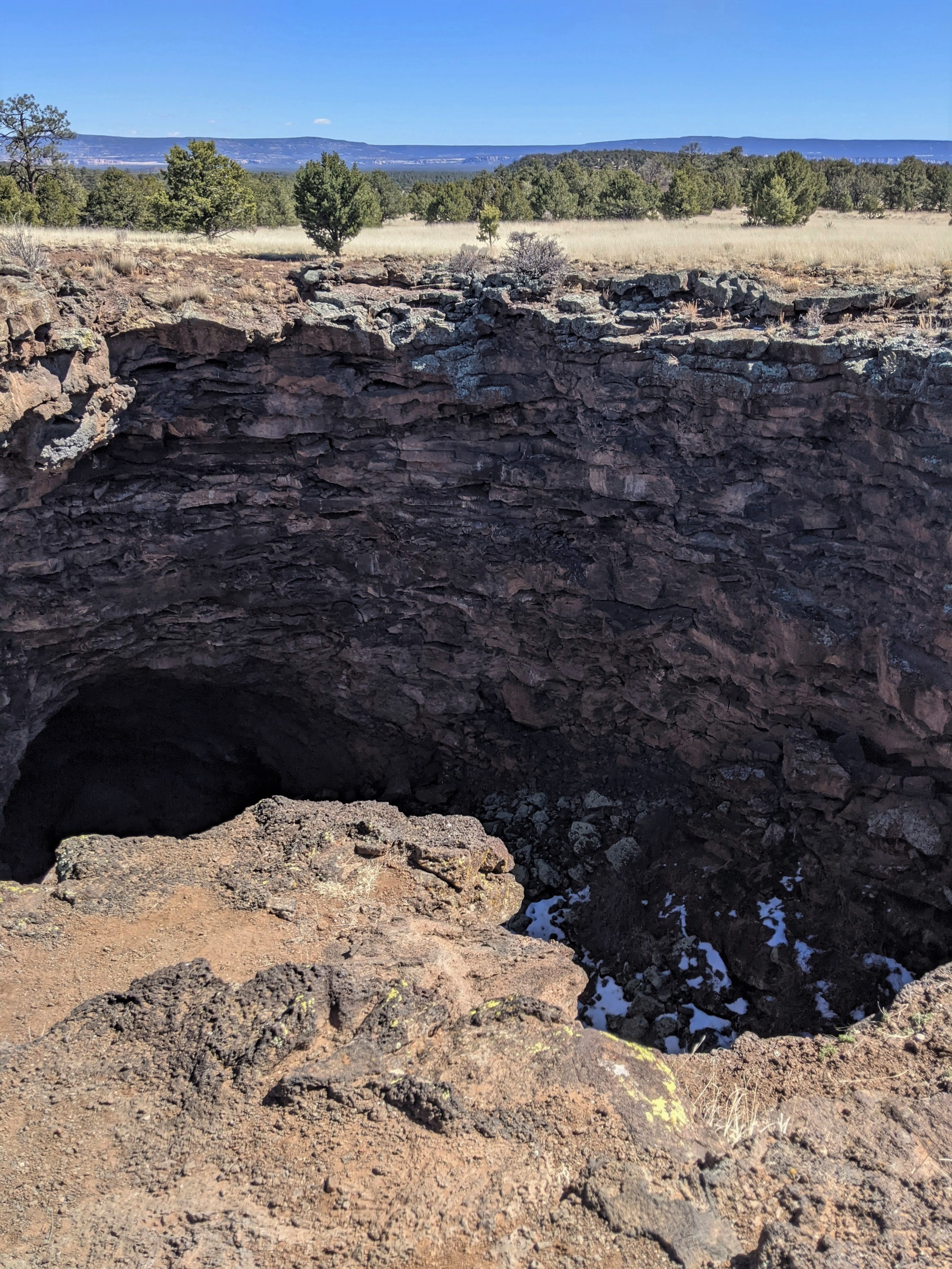 Double SinksHikingPhoto: NPS Molly Mays3.6 mi
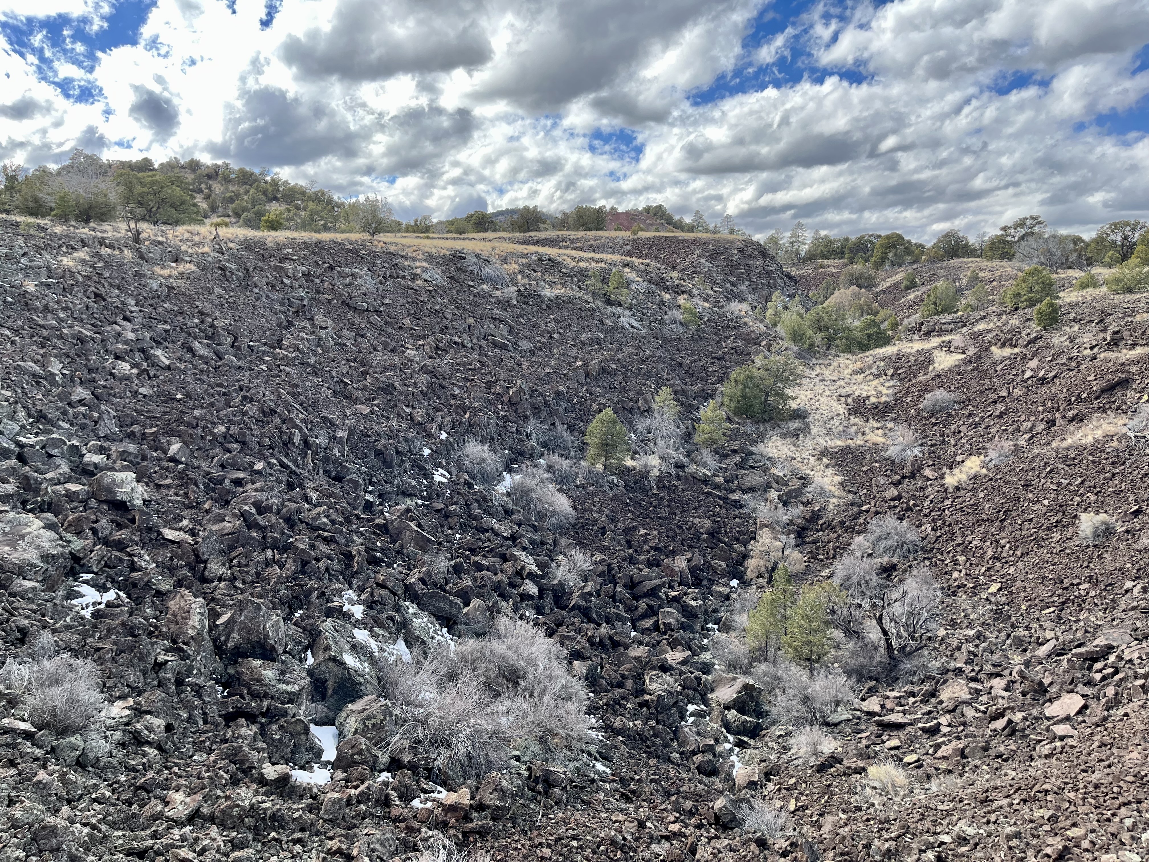 El Calderon Lava TrenchHikingPhoto: NPS Photo3.9 mi
 El Calderon TrailHikingPhoto: Fredlyfish4, CC BY-SA 4.0 (via Wikimedia Commons)4 mi
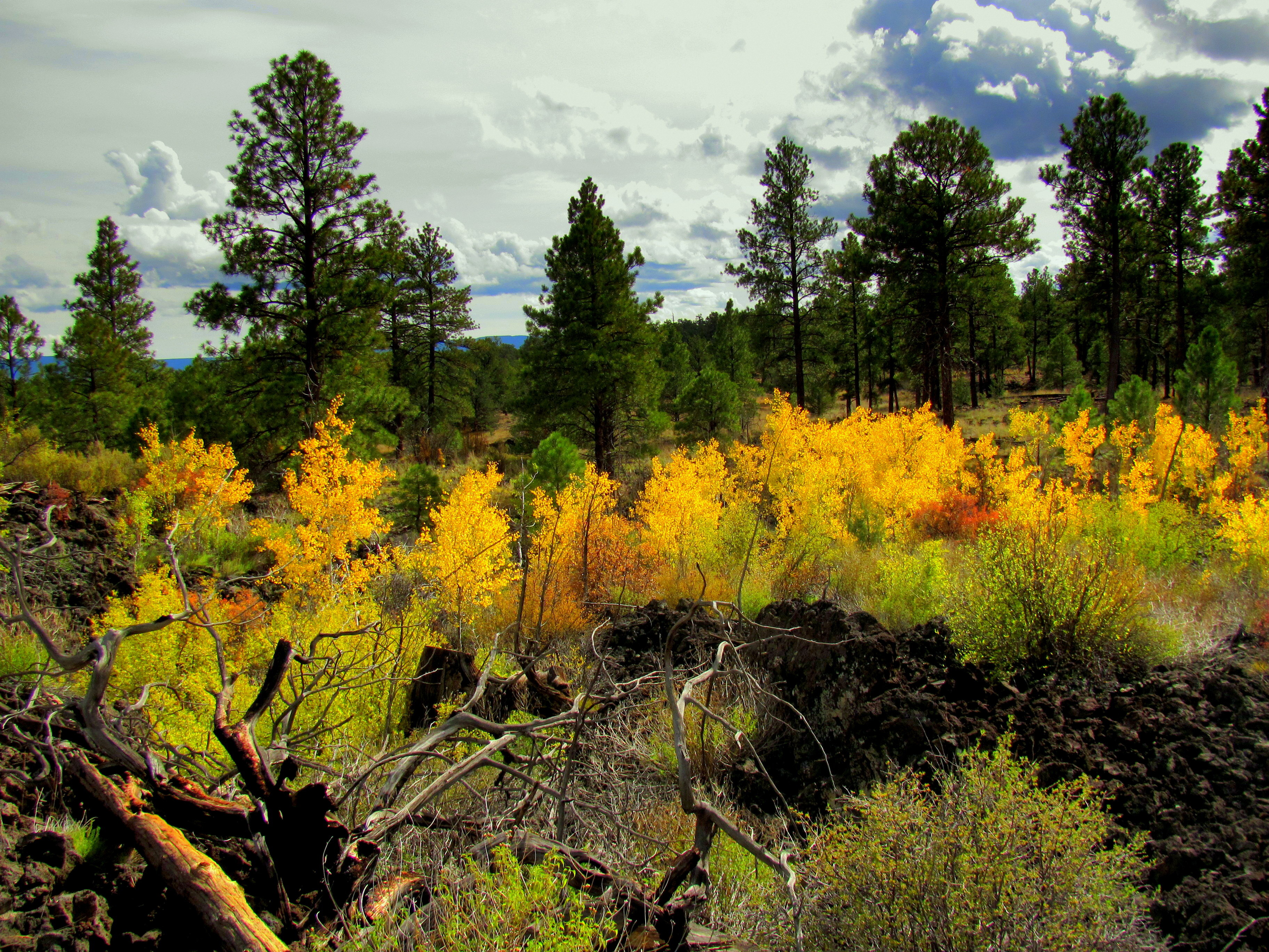 Life on the EdgeHikingPhoto: NPS John Kuehnert4.2 mi
 El MalpaisRock climbingPhoto: RuggyBearLA, CC BY-SA 2.0 (via Flickr)6.6 mi
Source: Roamze catalog (indexable pages within 10 miles, PostGIS distance)
- El Calderon Loop TrailHiking · ~6 min drivePhoto: Fredlyfish4, CC BY-SA 4.0 (via Wikimedia Commons)
- Double SinksHiking · ~6 min drive
 The Narrows Rim TrailHiking · ~11 min drivePhoto: RuggyBearLA, CC BY-SA 2.0 (via Flickr)
- Continental Divide TrailHiking · ~3 min drive
- El Calderon TrailHiking · ~7 min drivePhoto: Fredlyfish4, CC BY-SA 4.0 (via Wikimedia Commons)
- El Calderon Lava TrenchHiking · ~7 min drive
- CdtHiking · ~2 min drive
- Bonita Canyon Road (Fs 447)Hiking · ~19 min drive
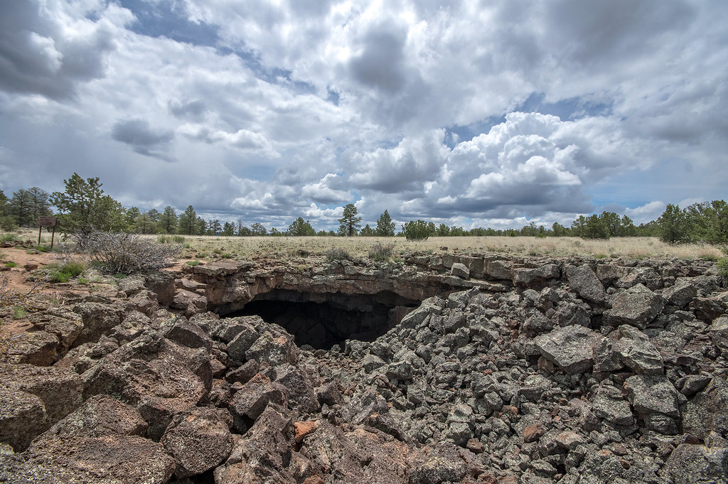 El Calderon Loop TrailHiking · ~7 min drivePhoto: RuggyBearLA, CC BY-SA 2.0 (via Flickr)
- Life on the EdgeHiking · ~7 min drive
Best time to visit Acoma-Zuni Trail
Best months: May and September–October. Best months have typical highs of 55–85 °F, lows of 30 °F or warmer (32 °F where the station doesn't record snow), at most one snowy day and no more than 12 wet days.
Jan
50° / 15°
4 wet
Feb
56° / 17°
3 wet
Mar
64° / 23°
3 wet
Apr
70° / 31°
3 wet
May
80° / 39°
3 wet
Jun
90° / 48°
4 wet
Jul
92° / 55°
8 wet
Aug
89° / 53°
10 wet
Sep
83° / 45°
6 wet
Oct
73° / 32°
4 wet
Nov
60° / 21°
4 wet
Dec
50° / 14°
4 wet
Typical high / low (°F) and days with rain or snow, 1991–2020. Measured at Grants Ap, NM, 14.7 mi away at 6,520 ft. This station doesn't record snowfall. Source: NOAA NCEI U.S. Climate Normals 1991–2020.
Route details
- Distance
- 1.1 mi round trip
- Climbing
- About 197 ft
- Starts at
- Zuni-Acoma Trailhead
- Summit
- 7,051 ft
- Difficulty
- Easy
- Time
- About 0.5 hours
Other routes up Encerrito
Questions about this route
How long is the Acoma-Zuni Trail on Encerrito?
About 1.1 mi round trip from Zuni-Acoma Trailhead.
How much elevation gain is on the Acoma-Zuni Trail?
About 197 ft of climbing round trip.
How hard is the Acoma-Zuni Trail?
It is rated easy.
Where does the Acoma-Zuni Trail start?
Zuni-Acoma Trailhead.
How long does the Acoma-Zuni Trail take?
About 0.5 hours round trip.
How many routes go up Encerrito?
2: Acoma-Zuni Trail and Cdt.
Map and trail data © OpenStreetMap contributors
