Cabezon Peak
- 7,786 ft
- summit
- 1
- way up
- Apr–May, Sep–Oct
- best months
Cabezon Peak is a summit of 7,786 feet in New Mexico, on Bureau of Land Management land in the Albuquerque District. The nearest town is San Luis, about 7.6 miles away. Spring and fall are the most comfortable times to go. Typical averages from a nearby weather station at Torreon Navajo Mission, which sits roughly 1,000 feet lower, show May highs around 77°F and October highs near 69°F, with lows in the low 40s. That station's figures are not adjusted for the higher elevation of the peak, so temperatures on top run cooler. Two trails start close by: the Cabezon Loop Trail is about 0.3 miles away and the Cabezon Peak Trail about 0.6 miles. Climbers can head to Cerro Guadalupe, about 3.4 miles off, and Canyon Tapia is about 7.1 miles away.
Conditions and forecast
Daily highs and lows, wind and the chance of precipitation at the summit and route start for the next 7 days, from the Open-Meteo model.
- Summit elevation
- 7,786 ft
Elevation from USGS 3D Elevation Program terrain data (about 10 m resolution).
Map © Mapbox © OpenStreetMap contributors Questions about Cabezon Peak
How tall is Cabezon Peak?
7,786 ft (2,373 m).
How many routes go to the summit of Cabezon Peak?
One: Cabezon Peak Trail.
- Lake Fork Mesa8,644 ft · New Mexico1 route30 mi away
- Butte Volcano5,877 ft · New Mexico1 route35 mi away
- Aspen Peak9,256 ft · New Mexico1 route35 mi away
- Bond Volcano5,880 ft · New Mexico2 routes35 mi away
- Bearhead Peak8,716 ft · New Mexico1 route36 mi away
- Vulcan Volcano6,032 ft · New Mexico2 routes36 mi away
- Cabezon Loop TrailHiking0.3 mi
- Cabezon Peak TrailHiking0.6 mi
- Cerro GuadalupeRock climbing3.4 mi
 Canyon TapiaHikingPhoto: bspencer505, CC BY 3.0 (via Wikimedia Commons)7.1 mi
Source: Roamze catalog (indexable pages within 10 miles, PostGIS distance)
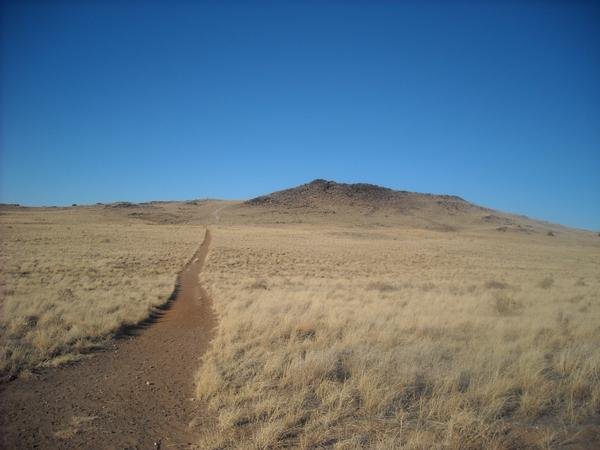 Black VolcanoSummit · ~1h 3m drivePhoto: User:michaelh2001, Public domain (via Wikimedia Commons)
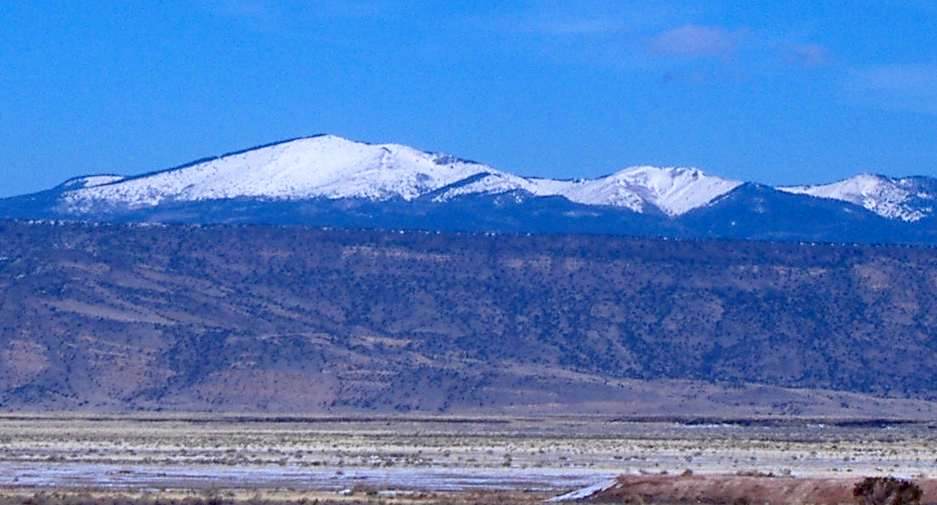 Mount TaylorSummit · ~1h 5m drivePhoto: ANNAfoxlover at English Wikipedia / Later version(s) were uploaded by Casito at English Wikipedia., Public domain (via Wikimedia Commons)
 Chicoma MountainSummit · ~1h 24m drivePhoto: JerryFriedman, CC BY-SA 3.0 (via Wikimedia Commons)
- Lake Fork MesaSummit · ~52 min drive
- Butte VolcanoSummit · ~1h drive
- Aspen PeakSummit · ~1h drive
- CinderSummit · ~1h 3m drive
- J A VolcanoSummit · ~1h 4m drive
- Sawyer MesaSummit · ~1h 10m drive
- Mesa del RitoSummit · ~1h 11m drive
Best time to visit Cabezon Peak
Best months: April–May and September–October. Best months have typical highs of 55–85 °F, lows of 30 °F or warmer (32 °F where the station doesn't record snow), at most one snowy day and no more than 12 wet days.
Jan
44° / 17°
4 wet · 3 snow
Feb
50° / 21°
4 wet · 2 snow
Mar
60° / 26°
4 wet · 1 snow
Apr
68° / 32°
3 wet · 1 snow
May
77° / 41°
4 wet
Jun
88° / 50°
3 wet
Jul
90° / 57°
7 wet
Aug
87° / 55°
8 wet
Sep
80° / 48°
6 wet
Oct
69° / 35°
4 wet
Nov
55° / 25°
3 wet · 1 snow
Dec
44° / 17°
4 wet · 2 snow
Typical high / low (°F) and days with rain or snow, 1991–2020. Measured at Torreon Navajo Mission, NM, 14.6 mi away at 6,700 ft. The station sits about 1,100 ft lower than this place, so expect it a little cooler here. Source: NOAA NCEI U.S. Climate Normals 1991–2020.

