Double Sinks
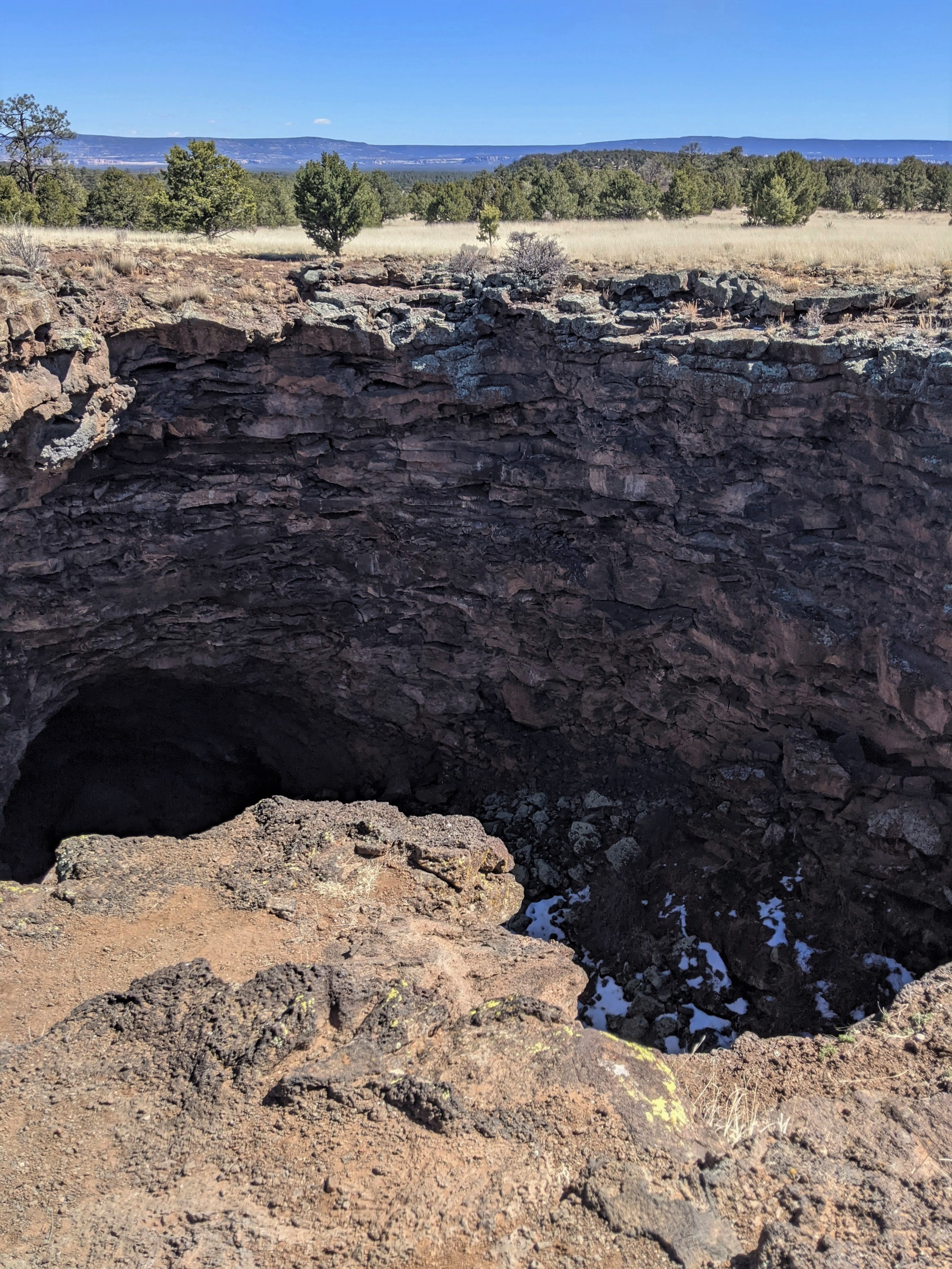 Photo: NPS Molly Mays
- May–Jul, Sep
- best months
Is Double Sinks open right now?
Closure in the area
There's a closure order in El Malpais National Monument. It doesn't name Double Sinks, so check the source for the area it covers (2 listed).
All lava tube caves closed November 1 through April 30
Park closure covering El Malpais National Monument · NPS · El Malpais National Monument
El Calderon Trail closed for construction through November 2026
Park closure covering El Malpais National Monument · NPS · El Malpais National Monument
NPS 300 Road Conditions
Park alert covering El Malpais National Monument · NPS · El Malpais National Monument
As of · Source: NPS · El Malpais National Monument. Agencies don't list every closure — check before you go.
Double Sinks is a hike in El Malpais National Monument in New Mexico, managed by the National Park Service. There is no fee to visit. Spring and fall are the most comfortable times to go. Typical averages from a nearby weather station at El Morro National Monument show May highs around 72°F and October highs around 66°F, while July and August bring the most wet days of the year. Several other hikes sit close by. El Calderon Trail and El Calderon Lava Trench are each about 0.6 miles away, and Life on the Edge is about 0.7 miles away. The Continental Divide Trail passes about 2.5 miles off.
Local outfitters
- El Morro RV Park & Cabins19 mi away
- Pie Town RV Park47 mi away
Not on Roamze yet. Their page has how to reach them.
Best time to go · May–Jul, Sep
Best time to visit Double Sinks
Best months: May–July and September. Best months have typical highs of 55–85 °F, lows of 30 °F or warmer (32 °F where the station doesn't record snow), at most one snowy day and no more than 12 wet days.
Jan
44° / 14°
6 wet
Feb
47° / 19°
6 wet
Mar
55° / 23°
6 wet
Apr
64° / 27°
4 wet
May
72° / 34°
4 wet
Jun
83° / 43°
5 wet
Jul
85° / 51°
12 wet
Aug
82° / 50°
13 wet
Sep
77° / 43°
8 wet
Oct
66° / 31°
5 wet
Nov
54° / 21°
5 wet
Dec
44° / 14°
6 wet
Typical high / low (°F) and days with rain or snow, 1991–2020. Measured at El Morro Natl Mon, NM, 20.2 mi away at 7,223 ft. This station doesn't record snowfall. Source: NOAA NCEI U.S. Climate Normals 1991–2020.
Keep exploring — more trails worth the drive
 Photo: Fredlyfish4, CC BY-SA 4.0 (via Wikimedia Commons)
El Calderon Loop Trail
Next door
1.33-mile out-and-back trail in New Mexico with 208 ft of elevation gain.
HIKE
El Calderon Lava Trench
~1 min drive
Along the trail to the cinder cone, look for a deep, winding trench that begins at the mouth of the cinder cone volcano up ahead. This trench was created by a river of lava that breached the side of the cinder cone and swept cinder and lava several miles to the southeast.…
 Photo: RuggyBearLA, CC BY-SA 2.0 (via Flickr)
The Narrows Rim Trail
~15 min drive
3.67-mile out-and-back hike in New Mexico with 1,197 ft gain.
HIKE
Continental Divide Trail
~4 min drive
5.88-mile out-and-back trail on the Continental Divide in New Mexico.
Photo: Fredlyfish4, CC BY-SA 4.0 (via Wikimedia Commons)El Calderon Trail
~1 min drive
0.33-mile out-and-back trail in New Mexico with 7 feet of elevation gain.
HIKE
Life on the Edge
~1 min drive
Lava, though it may seem harsh and inhospitable, can create some unusual habitats. One of these habitats is actually found just along the edges of lava flows. Known as the "edge effect," dense vegetation seems to thrive along the lava's edge. Scientists hypothesize that rainwa…
HIKE
Cdt
~7 min drive
2.51-mile out-and-back trail in New Mexico with 312 ft elevation gain.
HIKE
Bonita Canyon Road (Fs 447)
~16 min drive
11.56-mile out-and-back trail in New Mexico with 7,606 ft elevation gain.
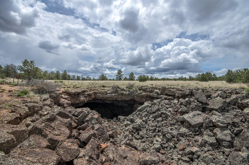 Photo: RuggyBearLA, CC BY-SA 2.0 (via Flickr)
El Calderon Loop Trail
~1 min drive
2.58-mile out-and-back trail in New Mexico with 197 ft gain/loss.
HIKE
Four Windows Cave
~9 min drive
Four Windows cave gets its name from four different skylights, or opening in the ceiling. These shine down onto the floor of the cave, close to the entrance. Four windows in another wonderful example of a lava tube within the Big Tubes Area. Be sure to get a permit before…

