Cerrito Comadre
- 7,770 ft
- summit
- 1
- way up
- May–Jul, Sep
- best months
Cerrito Comadre is a summit of 7,770 feet in New Mexico, sitting on Bureau of Land Management land in the Albuquerque District. The nearest town is El Morro Valley, about 12 miles away. Spring and fall are the most comfortable times to visit. Typical averages from a nearby weather station show May highs around 72°F and October highs around 66°F, while July and August bring the most wet days of the year. The CDT Hiking Trail passes within a mile of the summit, and the Lasso Trail, Big Tubes Loop Trail and Four Windows Cave lie within about 3.5 miles.
Conditions and forecast
Daily highs and lows, wind and the chance of precipitation at the summit and route start for the next 7 days, from the Open-Meteo model.
- Summit elevation
- 7,770 ft
Elevation from USGS 3D Elevation Program terrain data (about 10 m resolution).
Map © Mapbox © OpenStreetMap contributors Questions about Cerrito Comadre
How tall is Cerrito Comadre?
7,770 ft (2,368 m).
How many routes go to the summit of Cerrito Comadre?
One: (Cdt Hiking Trail).
- Encerrito7,051 ft · New Mexico2 routes13 mi away
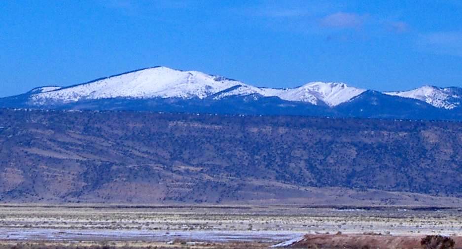 Mount Taylor11,301 ft · New Mexico1 route37 mi awayPhoto: ANNAfoxlover at English Wikipedia / Later version(s) were uploaded by Casito at English Wikipedia., Public domain (via Wikimedia Commons)
- Cabezon Peak7,786 ft · New Mexico1 route75 mi away
- El Cerro De Los Lunas5,954 ft · New Mexico2 routes78 mi away
- J A Volcano5,939 ft · New Mexico2 routes80 mi away
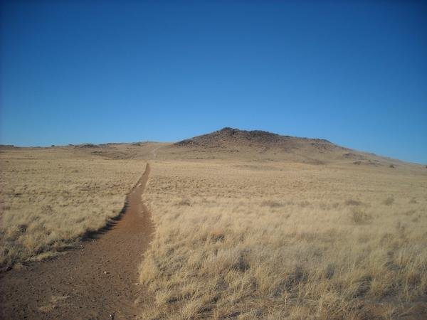 Black Volcano5,981 ft · New Mexico2 routes80 mi awayPhoto: User:michaelh2001, Public domain (via Wikimedia Commons)
- (Cdt Hiking Trail)Hiking0.9 mi
- Lasso TrailHiking2.6 mi
- Big Tubes Loop TrailHiking3.1 mi
- Four Windows CaveHiking3.5 mi
- Caves trailHiking4.6 mi
- Cien Fuegos TrailHiking4.9 mi
 Bandera North TrailHikingPhoto: dconvertini, CC BY-SA 2.0 (via Flickr)5.3 mi
 Paint Brush TrailHikingPhoto: Ken Lund, CC BY-SA 2.0 (via Flickr)5.6 mi
Source: Roamze catalog (indexable pages within 10 miles, PostGIS distance)
 Acoma RockSummit · ~57 min drivePhoto: Thomas Moran, Public domain (via Wikimedia Commons)
- Mount TaylorSummit · ~1h 3m drivePhoto: ANNAfoxlover at English Wikipedia / Later version(s) were uploaded by Casito at English Wikipedia., Public domain (via Wikimedia Commons)
 Zuñi ButtesSummit · ~1h 16m drivePhoto: Unknown authorUnknown author or not provided, Public domain (via Wikimedia Commons)
- EncerritoSummit · ~22 min drive
Best time to visit Cerrito Comadre
Best months: May–July and September. Best months have typical highs of 55–85 °F, lows of 30 °F or warmer (32 °F where the station doesn't record snow), at most one snowy day and no more than 12 wet days.
Jan
44° / 14°
6 wet
Feb
47° / 19°
6 wet
Mar
55° / 23°
6 wet
Apr
64° / 27°
4 wet
May
72° / 34°
4 wet
Jun
83° / 43°
5 wet
Jul
85° / 51°
12 wet
Aug
82° / 50°
13 wet
Sep
77° / 43°
8 wet
Oct
66° / 31°
5 wet
Nov
54° / 21°
5 wet
Dec
44° / 14°
6 wet
Typical high / low (°F) and days with rain or snow, 1991–2020. Measured at El Morro Natl Mon, NM, 12.2 mi away at 7,223 ft. The station sits about 500 ft lower than this place, so expect it a little cooler here. This station doesn't record snowfall. Source: NOAA NCEI U.S. Climate Normals 1991–2020.
