Big Rocks
At a glance
Big Rocks is a climbing area in California's Los Padres National Forest, within the Santa Lucia Ranger District. The land is managed by the Forest Service. The area is a cluster of sport routes, and its grade range runs from 5.8+ up to 5.10b. The most common grade is 5.10a. Among the seven routes, Flowers on Venus is 5.8+ and Dark Star is 5.10b. The first ascent of The Call of the Wild was made by Tom Slater and Paul Bernard in 2005. Summer is the driest and warmest stretch. At the Twitchell Dam weather station, 15 miles away, typical averages run from highs of about 77°F in July and August to highs near 75°F in October, with only a day or two of rain a month. That station sits well below the climbing area, so temperatures here run cooler. Hwy 166/Silly Rock is just 0.2 miles away, and Doom Wall and The Sea of Love Wall are each about 0.7 miles off. Gifford is a hike roughly 2.4 miles away.
7 routes · 5.8+ – 5.10b · Sport
- best months
- Jan–Dec
Where it is: Santa Lucia Ranger District · Los Padres National Forest
Near: Santa Maria
Best time to visit Big Rocks
Best months: Year-round. Best months have typical highs of 55–85 °F, lows of 30 °F or warmer (32 °F where the station doesn't record snow), at most one snowy day and no more than 12 wet days.
Jan
63°
41°
8 wet
Feb
62°
42°
8 wet
Mar
65°
44°
8 wet
Apr
68°
45°
5 wet
May
70°
48°
2 wet
Jun
75°
50°
1 wet
Jul
77°
53°
0 wet
Aug
78°
54°
1 wet
Sep
78°
52°
1 wet
Oct
75°
49°
3 wet
Nov
68°
44°
5 wet
Dec
61°
39°
8 wet
Typical high / low (°F) and days with rain or snow, 1991–2020. Measured at Twitchell Dam, CA, 15.1 mi away at 582 ft. The station sits about 1,300 ft lower than this place, so expect it a little cooler here. Source: NOAA NCEI U.S. Climate Normals 1991–2020.
Been here? Tell people how it was.
- Hwy 166/Silly RockRock climbing0.2 mi
- Doom WallRock climbing0.7 mi
- Mr. Lees Greater Hong KongRock climbing0.7 mi
- The Sea of Love WallRock climbing0.7 mi
 GiffordHikingPhoto: Damian Gadal, CC BY 2.0 (via Wikimedia Commons)2.4 mi
 AdobeHikingPhoto: Damian Gadal, CC BY 2.0 (via Flickr)3.4 mi
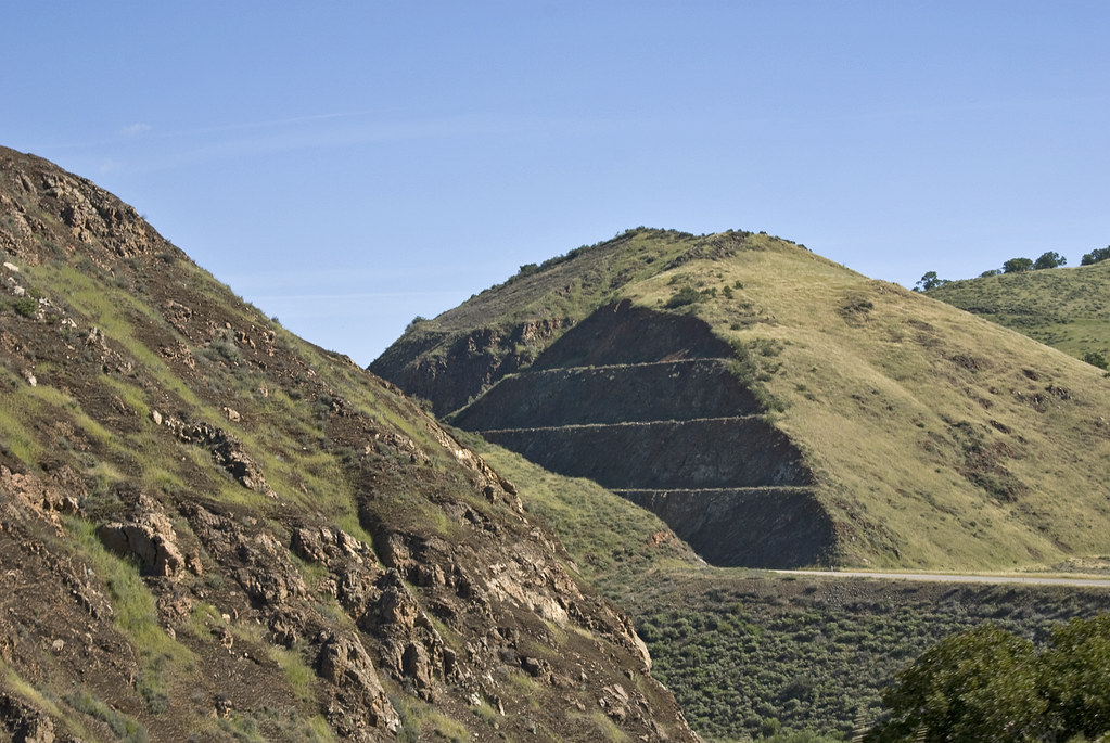 Willow SpringHikingPhoto: Damian Gadal, CC BY 2.0 (via Flickr)5.1 mi
- Alamo CreekCanoeing6.1 mi
 Grime Dog WallRock climbingPhoto: Sergei Gussev, CC BY 3.0 (via Wikimedia Commons)~54 min drive
 ChlorissaRock climbingPhoto: hakkun, CC BY-SA 3.0 (via Wikimedia Commons)~59 min drive
- Hidden GullyRock climbingPhoto: hakkun, CC BY-SA 3.0 (via Wikimedia Commons)~60 min drive
 Cabrillo PeakRock climbingPhoto: Mike Baird from Morro Bay, USA, CC BY 2.0 (via Wikimedia Commons)~1h 13m drive
- Rock LandRock climbingPhoto: Mike Baird from Morro Bay, USA, CC BY 2.0 (via Wikimedia Commons)~1h 13m drive
 Morro Bay HarborRock climbingPhoto: Ken Lund, CC BY-SA 2.0 (via Flickr)~1h 18m drive
 Kelly's HillRock climbingPhoto: NewMillenniumMusic, CC BY-SA 3.0 (via Wikimedia Commons)~1h 18m drive
 Breakwater BoulderRock climbingPhoto: vonguard, CC BY-SA 2.0 (via Flickr)~1h 18m drive
 Top of the WorldRock climbingPhoto: DieselDemon, CC BY 2.0 (via Flickr)~1h 18m drive
- Entry WayRock climbingPhoto: DieselDemon, CC BY 2.0 (via Flickr)~1h 18m drive
Conditions and forecast
Daily highs and lows, wind and the chance of precipitation at Big Rocks for the next 7 days, from the Open-Meteo model.
Ask about this place
Questions about Big Rocks: conditions, access, timing. Answers say when something isn't known.
