Machesna Mountain
- 4,062 ft
- summit
- 1
- way up
Is Machesna Mountain open right now?
Alert in the area
The Forest Service lists 3 alerts for Los Padres National Forest.
Los Padres Fire Use and Firearm Restrictions
Agency alert covering Los Padres National Forest · Order 05-07-00-26-05 · USFS · Los Padres National Forest
Santa Barbara Front Country Fire Use Restrictions
Agency alert covering Los Padres National Forest · Order 05-07-5406-01 · USFS · Los Padres National Forest
West Cuesta Fire Use Restrictions
Agency alert covering Santa Lucia Ranger District · Order 05-07-53-24-19 · USFS · Santa Lucia Ranger District
As of · Source: USFS · Los Padres National Forest. Agencies don't list every closure — check before you go.
Machesna Mountain is a summit in California's Machesna Mountain Wilderness, part of the Santa Lucia Ranger District of Los Padres National Forest. The nearest town is Edna, about 22 miles away. The Machesna Mountain Summit Use Trail starts about half a mile from the peak, which makes it the closest named route in the area. Other hikes nearby include American Canyon, about 1.5 miles off, and Avenales, about 3 miles away. La Panza campground sits roughly 5.5 miles from the summit.
Conditions and forecast
Daily highs and lows, wind and the chance of precipitation at the summit and route start for the next 7 days, from the Open-Meteo model.
- Summit elevation
- 4,062 ft
Elevation from USGS 3D Elevation Program terrain data (about 10 m resolution).
Map © Mapbox © OpenStreetMap contributors Questions about Machesna Mountain
How tall is Machesna Mountain?
4,062 ft (1,238 m).
How many routes go to the summit of Machesna Mountain?
One: Machesna Mountain Summit Use Trail.
- Caldwell Mesa2,497 ft · California1 route5.7 mi away
- Hi Mountain3,200 ft · California1 route11 mi away
- Mount Lowe2,599 ft · California2 routes21 mi away
- Picacho919 ft · California1 route21 mi away
 Islay Hill780 ft · California1 route22 mi awayPhoto: Michael Pearson, Public domain (via Wikimedia Commons)
 Bishop Peak1,529 ft · California1 route26 mi awayPhoto: Leif Arne Storset, CC BY 2.5 (via Wikimedia Commons)
- Machesna Mountain Summit Use TrailHiking0.6 mi
- American Canyon Alternate RouteHiking1.4 mi
- AMERICAN CANYONHiking1.5 mi
- AvenalesHiking3 mi
- Castle CragsHiking3.3 mi
- Sellers PotreroHiking4.2 mi
- La PanzaCamping5.5 mi
- San Juan CreekCanoeing7.1 mi
Source: Roamze catalog (indexable pages within 10 miles, PostGIS distance)
- Islay HillSummit · ~38 min drivePhoto: Michael Pearson, Public domain (via Wikimedia Commons)
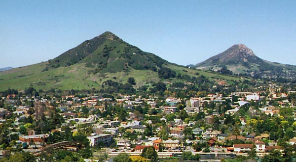 Cerro San Luis ObispoSummit · ~44 min drivePhoto: Ken Broomfield, CC BY-SA 3.0 (via Wikimedia Commons)
- Bishop PeakSummit · ~45 min drivePhoto: Leif Arne Storset, CC BY 2.5 (via Wikimedia Commons)
 Chumash PeakSummit · ~46 min drivePhoto: Basar, CC BY-SA 3.0 (via Wikimedia Commons)
 Cerro RomualdoSummit · ~48 min drivePhoto: Basar at English Wikipedia, CC BY-SA 3.0 (via Wikimedia Commons)
 Caliente MountainSummit · ~54 min drivePhoto: Antandrus at English Wikipedia, CC BY-SA 3.0 (via Wikimedia Commons)
- Hollister PeakSummit · ~54 min drivePhoto: Basar at English Wikipedia, CC BY-SA 3.0 (via Wikimedia Commons)
 Cerro CabrilloSummit · ~57 min drivePhoto: No machine-readable author provided. Kjkolb assumed (based on copyright claims)., CC BY 2.5 (via Wikimedia Commons)
 Black HillSummit · ~59 min drivePhoto: Basar, CC BY-SA 3.0 (via Wikimedia Commons)
 Morro RockSummit · ~1h 3m drivePhoto: No machine-readable author provided. Kjkolb assumed (based on copyright claims)., CC BY 2.5 (via Wikimedia Commons)

