Gifford
 Photo: Damian Gadal, CC BY 2.0 (via Wikimedia Commons)
- 4.4 mi
- round trip
- 462 ft
- climb
- 1,567 ft
- high point
- Out and back
- route
- Jan–Dec
- best months
Is Gifford open right now?
Alert in the area
The Forest Service lists 3 alerts for Los Padres National Forest.
Los Padres Fire Use and Firearm Restrictions
Agency alert covering Los Padres National Forest · Order 05-07-00-26-05 · USFS · Los Padres National Forest
Santa Barbara Front Country Fire Use Restrictions
Agency alert covering Los Padres National Forest · Order 05-07-5406-01 · USFS · Los Padres National Forest
West Cuesta Fire Use Restrictions
Agency alert covering Santa Lucia Ranger District · Order 05-07-53-24-19 · USFS · Santa Lucia Ranger District
As of · Source: USFS · Los Padres National Forest. Agencies don't list every closure — check before you go.
Gifford is a 4.4-mile out-and-back hike in the Santa Lucia Ranger District of Los Padres National Forest in California. The trail rises from about 1,340 feet to about 1,567 feet, a climb of 462 feet, and is rated moderate. The route is natural-surfaced and open to both horses and bikes, according to the USDA Forest Service's trail records. It is open year-round. Summer is the most comfortable time to go. Typical averages from the Twitchell Dam weather station, about 16 miles away, show July and August highs near 78°F with almost no wet days, while winter months bring highs in the low 60s and about eight wet days a month. That station sits roughly 1,000 feet lower than the trail's high point, so temperatures on the hike run cooler. Climbers will find Owl Tor about 1.4 miles away and Big Rocks about 2.4 miles away. Hikers can also try Adobe, about 4 miles off, or Gillam Spring Trail, also about 4 miles away.
- Owl TorRock climbing1.4 mi
- Big RocksRock climbing2.4 mi
- Hwy 166/Silly RockRock climbing2.6 mi
- Doom WallRock climbing3.1 mi
 AdobeHikingPhoto: Damian Gadal, CC BY 2.0 (via Flickr)4 mi
- Gillam Spring TrailHiking4 mi
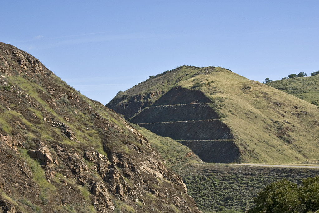 Willow SpringHikingPhoto: Damian Gadal, CC BY 2.0 (via Flickr)5.6 mi
- Alamo CreekCanoeing8.2 mi
Source: Roamze catalog (indexable pages within 10 miles, PostGIS distance)
- AdobeHiking · ~7 min drivePhoto: Damian Gadal, CC BY 2.0 (via Flickr)
- Willow SpringHiking · ~10 min drivePhoto: Damian Gadal, CC BY 2.0 (via Flickr)
 Painted Rock TrailHiking · ~22 min drivePhoto: RuggyBearLA, CC BY-SA 2.0 (via Flickr)
- Trout Creek TrailHiking · ~24 min drive
- Gillam Spring TrailHiking · ~7 min drive
 Buckhorn RigdeHiking · ~22 min drivePhoto: Region 5 Photography, Public Domain Mark (via Flickr)
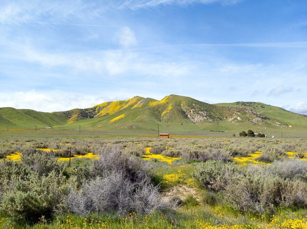 Crestline TrailHiking · ~23 min drivePhoto: RuggyBearLA, CC BY 2.0 (via Flickr)
- Gillam Spring TrailHiking · ~9 min drive
- Roque CanyonHiking · ~16 min drive
- Dobbins TrailHiking · ~23 min drivePhoto: RuggyBearLA, CC BY 2.0 (via Flickr)
Best time to visit Gifford
Best months: Year-round. Best months have typical highs of 55–85 °F, lows of 30 °F or warmer (32 °F where the station doesn't record snow), at most one snowy day and no more than 12 wet days.
Jan
63° / 41°
8 wet
Feb
62° / 42°
8 wet
Mar
65° / 44°
8 wet
Apr
68° / 45°
5 wet
May
70° / 48°
2 wet
Jun
75° / 50°
1 wet
Jul
77° / 53°
0 wet
Aug
78° / 54°
1 wet
Sep
78° / 52°
1 wet
Oct
75° / 49°
3 wet
Nov
68° / 44°
5 wet
Dec
61° / 39°
8 wet
Typical high / low (°F) and days with rain or snow, 1991–2020. Measured at Twitchell Dam, CA, 15.9 mi away at 582 ft. The station sits about 1,000 ft lower than this place, so expect it a little cooler here. Source: NOAA NCEI U.S. Climate Normals 1991–2020.
