West Fork Trout Cr
- 7.3 mi
- round trip
- 1,496 ft
- climb
- 9,293 ft
- high point
- Out and back
- route
Is West Fork Trout Cr open right now?
Alert in the area
The Forest Service lists an alert for Shoshone National Forest.
Morrison Jeep Trail
Agency alert covering Shoshone National Forest · USFS · Shoshone National Forest
As of · Source: USFS · Shoshone National Forest. Agencies don't list every closure — check before you go.
West Fork Trout Cr is a hard hike of about 7.3 miles on natural-surfaced trail in the Wapiti Ranger District of Shoshone National Forest in Wyoming, managed by the Forest Service. The trail is rated hard, with an elevation gain of about 1,500 feet on a route that rises from roughly 7,900 to about 9,300 feet, making it an out-and-back that climbs steeply to its highest point before returning. The trail is accessible and allows both bikes and horses, so riders and pack animals can make the journey. That makes it a flexible option for anyone looking to go farther or bring supplies. Trout Creek, a canoeing spot, lies about 2.7 miles away. Trout Cr Trail and Trout Peak Trail are both within about 3.7 miles, and Four Bear Mountain Trail is about 4.5 miles off, giving hikers more options to string together a longer day in the area.
- Trout CreekCanoeing2.7 mi
- Trout Cr TrailHiking3.6 mi
- Trout Peak TrailHiking3.7 mi
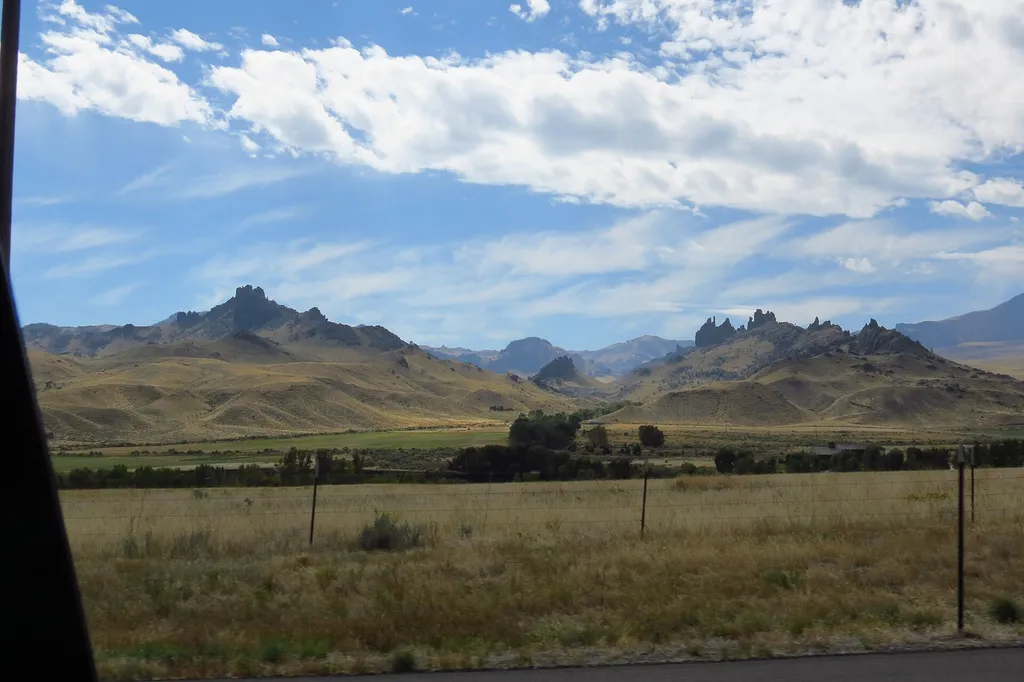 Four Bear Mountain TrailHikingPhoto: George Bannister from Woodville, MS, USA — Wikimedia Commons (CC BY 2.0)4.5 mi
- Jim Mountain CutaccrossHiking4.6 mi
- North Fork Shoshone R AccessRiver fishing7.5 mi
- Wapiti BridgeRiver fishing7.6 mi
- Stagecoach Trl Fishing AccessRiver fishing8.1 mi
Source: Roamze catalog (indexable pages within 10 miles, PostGIS distance)
- Four Bear Mountain TrailHiking · ~8 min drive
- Trout Cr TrailHiking · ~6 min drive
- Dead Indian Gulch TrailHiking · ~21 min drive
- Jim Mountain CutaccrossHiking · ~8 min drive
- Trout Peak TrailHiking · ~6 min drive
- Colter's Hell TrailHiking · ~29 min drive
- TROUT CR TRAILHiking · ~6 min drive
- Rattlesnake CrHiking · ~8 min drive
- Paul Stock Nature TrailHiking · ~31 min drive
- Table MountainHiking · ~20 min drive
Also worth it near here
 Rattlesnake MountainSummit · ~12 min drivePhoto: Martin Kraft, CC BY-SA 3.0 (via Wikimedia Commons)
- North Fork Shoshone River Boat RampBoat launch · ~13 min drive
- Big Creek FallsWaterfall · ~14 min drive
 Dead Indian CampgroundCamping · ~20 min drivePhoto: George Bannister from Woodville, MS, USA, CC BY 2.0 (via Wikimedia Commons)
