Big Creek Falls
- 9,623 ft
- elevation
- Forest Service
- managed by
Is Big Creek Falls open right now?
Alert in the area
The Forest Service lists an alert for Shoshone National Forest.
Morrison Jeep Trail
Agency alert covering Shoshone National Forest · USFS · Shoshone National Forest
As of · Source: USFS · Shoshone National Forest. Agencies don't list every closure — check before you go.
Big Creek Falls is a waterfall in Park County, Wyoming, set at about 9,623 feet in the North Absaroka Wilderness. The surrounding land is part of the Wapiti Ranger District of Shoshone National Forest, managed by the Forest Service, and the nearest town is Wapiti, about 11 miles away. Because the falls lie inside designated wilderness, wilderness rules apply. Big Cr Trail is about 6 miles away, and Grizzly Ridge Trail is a little farther at about 7 miles. Wapiti Campground and Elk Fork Campground both sit roughly 8 miles away for an overnight base.
- Elevation
- 9,623 ft
- Land manager
- Forest Service
Elevation from USGS 3D Elevation Program terrain data (about 10 m resolution).
- Sweetwater CreekCanoeing5.3 mi
- Big Cr TrailHiking5.8 mi
- HORSE CR TRAILHiking6.9 mi
- Grizzly Ridge TrailHiking7.2 mi
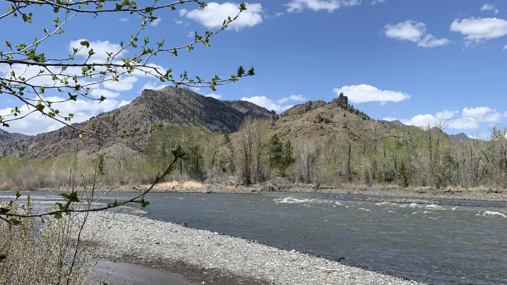 Wapiti CampgroundCampingPhoto: Recreation.gov (RIDB) / public domain8.2 mi
- Big Game CampgroundCamping8.4 mi
 Elk Fork CampgroundCampingPhoto: George Bannister from Woodville, MS, USA, CC BY 2.0 (via Wikimedia Commons)8.4 mi
 Sunlight CreekCanoeingPhoto: Yellowstone National Park, Public domain (via Wikimedia Commons)8.7 mi
Source: Roamze catalog (indexable pages within 10 miles, PostGIS distance)
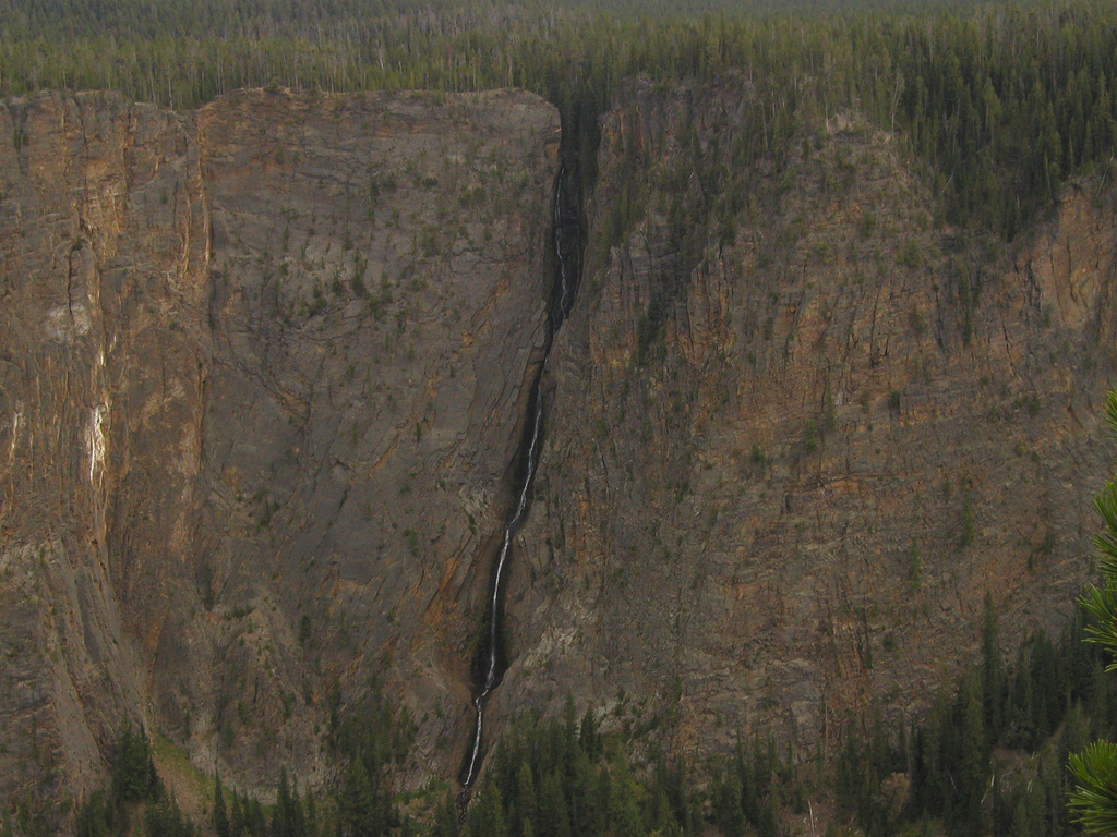 Silver Cord CascadeWaterfall · ~1h 14m drivePhoto: Alex1961, CC BY-SA 2.0 (via Wikimedia Commons)
 Lower Falls of the Yellowstone RiverWaterfall · ~1h 17m drivePhoto: Miguel Hermoso Cuesta, CC BY-SA 4.0 (via Wikimedia Commons)
 Tower FallWaterfall · ~1h 16m drivePhoto: Daniel Mayer, CC BY-SA 3.0 (via Wikimedia Commons)
 Upper Falls of the Yellowstone RiverWaterfall · ~1h 18m drivePhoto: Tony Hisgett from Birmingham, UK, CC BY 2.0 (via Wikimedia Commons)
- Bridal Veil FallsWaterfall · ~38 min drive
- Beartooth FallsWaterfall · ~42 min drive
- Impasse FallsWaterfall · ~1h 4m drive
- Calamity FallsWaterfall · ~1h 9m drive
- Crystal FallsWaterfall · ~1h 18m drive
- Lost Creek FallsWaterfall · ~1h 19m drive
Also worth it near here
- Sunlight CreekCanoeing · ~15 min drivePhoto: Yellowstone National Park, Public domain (via Wikimedia Commons)
- Four Bear Mountain TrailHiking · ~18 min drive
- North Fork Shoshone River Boat RampBoat launch · ~20 min drive
 Table MountainSummit · ~23 min drivePhoto: George Bannister from Woodville, MS, USA, CC BY 2.0 (via Wikimedia Commons)
