Trout Cr Trail
- 19.2 mi
- round trip
- 2,192 ft
- climb
- 9,310 ft
- high point
- Out and back
- route
Is Trout Cr Trail open right now?
Alert in the area
The Forest Service lists an alert for Shoshone National Forest.
Morrison Jeep Trail
Agency alert covering Shoshone National Forest · USFS · Shoshone National Forest
As of · Source: USFS · Shoshone National Forest. Agencies don't list every closure — check before you go.
Trout Cr Trail is a hard hike in Wyoming's Shoshone National Forest, within the Wapiti Ranger District. The trail is an out-and-back route of about 19 miles, with a total elevation gain of 2,192 feet. It starts at a low point of about 7,560 feet and climbs to a high point of about 9,310 feet. The trail is accessible and allows horses. Its natural surface makes it a straightforward choice for riders and hikers alike. The trail is open year-round, and the surrounding area offers plenty to pair with it. Trout Creek, a canoeing spot, lies about a mile away. Four Bear Mountain Trail and Jim Mountain Cutaccross are both within about a mile and a half. West Fork Trout Cr is about 3.6 miles off.
- Trout CreekCanoeing1.1 mi
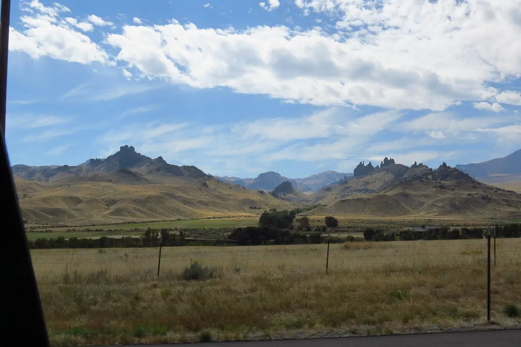 Four Bear Mountain TrailHikingPhoto: George Bannister from Woodville, MS, USA — Wikimedia Commons (CC BY 2.0)1.2 mi
- Jim Mountain CutaccrossHiking1.3 mi
- Jim Mountain TrailHiking2.8 mi
- West Fork Trout CrHiking3.6 mi
- North Fork Shoshone R AccessRiver fishing4 mi
- Wapiti BridgeRiver fishing4.1 mi
- Stagecoach Trl Fishing AccessRiver fishing4.7 mi
Source: Roamze catalog (indexable pages within 10 miles, PostGIS distance)
- Four Bear Mountain TrailHiking · ~2 min drive
- Jim Mountain TrailHiking · ~5 min drive
- Elk Creek Cut-Across TrailHiking · ~25 min drive
- Jim Mountain CutaccrossHiking · ~2 min drive
- West Fork Trout CrHiking · ~6 min drive
- Colter's Hell TrailHiking · ~27 min drive
- TROUT CR TRAILHiking · ~12 min drive
- Big Cr TrailHiking · ~9 min drive
- Dead Indian Gulch TrailHiking · ~27 min drive
- Table MountainHiking · ~15 min drive

