Jim Mountain Cutaccross
- 4.7 mi
- round trip
- 741 ft
- climb
- 8,086 ft
- high point
- Out and back
- route
- Jun–Aug
- best months
Is Jim Mountain Cutaccross open right now?
Alert in the area
The Forest Service lists an alert for Shoshone National Forest.
Morrison Jeep Trail
Agency alert covering Shoshone National Forest · USFS · Shoshone National Forest
As of · Source: USFS · Shoshone National Forest. Agencies don't list every closure — check before you go.
Jim Mountain Cutaccross is a moderate out-and-back hike in Wyoming's Shoshone National Forest, within the Wapiti Ranger District. The trail is about 4.7 miles long, with a one-way elevation gain of 741 feet, taking you from a low point of 7,294 feet to a high of 8,086 feet. The route is accessible and carries natural surface, and it is open year-round. Bikes and horses are both allowed, so the trail works for a range of visitors. Summer is the most comfortable time to go. Typical averages from a nearby weather station run to highs around 78°F in July, with lows near 39°F. That station sits about 1,100 feet lower than the trail's high point, so temperatures on the summit run cooler. Several other trails lie close by, including Trout Cr Trail at about 1.3 miles and Jim Mountain Trail at about 1.7 miles. Trout Creek, a canoeing spot, is about 2.4 miles away, and North Fork Shoshone R Access offers river fishing about 3 miles off.
- Trout Cr TrailHiking1.3 mi
- Jim Mountain TrailHiking1.7 mi
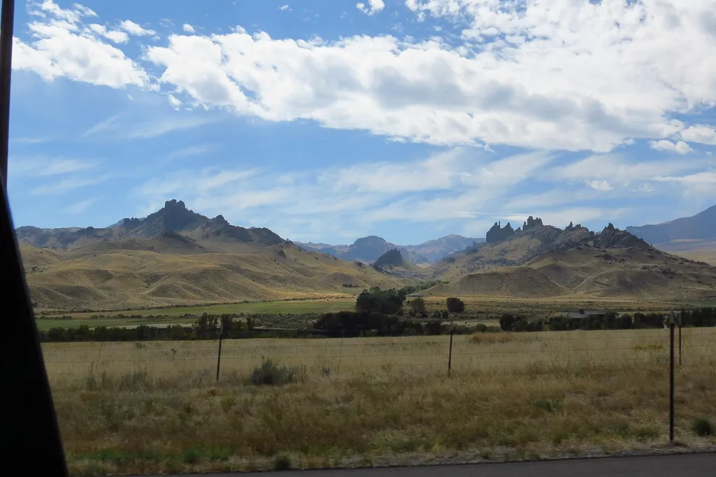 Four Bear Mountain TrailHikingPhoto: George Bannister from Woodville, MS, USA — Wikimedia Commons (CC BY 2.0)1.7 mi
- Trout CreekCanoeing2.4 mi
- North Fork Shoshone R AccessRiver fishing3 mi
- Wapiti BridgeRiver fishing3.1 mi
- Big Game CampgroundCamping9.1 mi
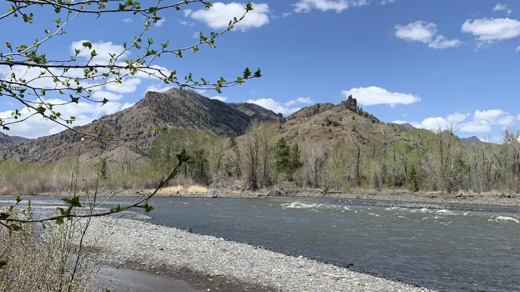 Wapiti CampgroundCampingPhoto: Recreation.gov (RIDB) / public domain9.9 mi
Source: Roamze catalog (indexable pages within 10 miles, PostGIS distance)
- Four Bear Mountain TrailHiking · ~3 min drive
- Trout Cr TrailHiking · ~2 min drive
- Elk Creek Cut-Across TrailHiking · ~27 min drive
- Table MountainHiking · ~13 min drive
- Jim Mountain TrailHiking · ~3 min drive
- Colter's Hell TrailHiking · ~28 min drive
- TROUT CR TRAILHiking · ~14 min drive
- Big Cr TrailHiking · ~8 min drive
- Dead Indian Gulch TrailHiking · ~29 min drive
- Clearwater Cr TrailHiking · ~21 min drive
Best time to visit Jim Mountain Cutaccross
Best months: June–August. Best months have typical highs of 55–85 °F, lows of 30 °F or warmer (32 °F where the station doesn't record snow), at most one snowy day and no more than 12 wet days.
Jan
30° / 4°
Feb
32° / 6°
Mar
39° / 11°
Apr
47° / 22°
May
57° / 30°
Jun
67° / 35°
Jul
78° / 39°
Aug
77° / 37°
Sep
67° / 31°
Oct
51° / 23°
Nov
37° / 13°
Dec
28° / 5°
Typical high / low (°F) and days with rain or snow, 1991–2020. Measured at Yellowstone Np E Ent, WY, 28.1 mi away at 6,954 ft. The station sits about 1,100 ft lower than this place, so expect it a little cooler here. This station doesn't record snowfall. Source: NOAA NCEI U.S. Climate Normals 1991–2020.
