Paul Stock Nature Trail
- 0.6 mi
- round trip
- 189 ft
- climb
- 4,953 ft
- high point
- Out and back
- route
- Apr–Oct
- best months
Paul Stock Nature Trail is a short, easy hike in Wyoming's Wind River / Bighorn Basin District on Bureau of Land Management land. The route is about 1.2 miles long and has a round-trip elevation gain of 189 feet, so it's a quick outing that pairs well with a longer day in the area. The trail is an out-and-back with a front-loaded climb. The steepest stretch comes at about 0.2 miles, with a grade of about 4%. The high point is around 4953 feet, and the low point is near 4898 feet. The whole trip takes about half an hour, making it an easy addition to a visit to the district. Summer is the most comfortable time to go. Typical averages from a nearby weather station in Cody, Wyoming, show July highs around 84°F with lows near 57°F, and September cools to highs around 72°F. Winter is cold, with January highs near 37°F and lows around 18°F. Colter's Hell Trail is about 1.3 miles away, and the Cedar Mountain Boulders climbing area is 1.8 miles off. The Bat Cave Area and Mid Mountain are also within a few miles.
- Colter's Hell TrailHiking1.3 mi
- Cedar Mountain BouldersRock climbing1.8 mi
- Bat Cave AreaRock climbing2.1 mi
 Mid MountainRock climbingPhoto: James St. John, CC BY 2.0 (via Wikimedia Commons)2.7 mi
- Africa AreaRock climbing2.8 mi
- Soda Fountain WallRock climbing3.5 mi
- The Rest of the East Bridge BandsRock climbing3.5 mi
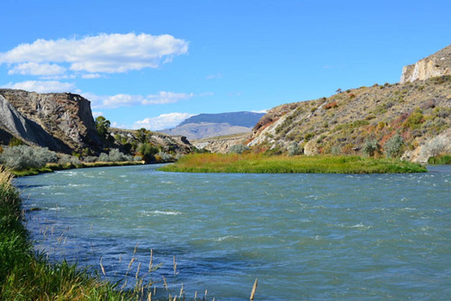 Seven MountainRiver fishing4.3 mi
Source: Roamze catalog (indexable pages within 10 miles, PostGIS distance)
- Four Bear Mountain TrailHiking · ~27 min drive
- Colter's Hell TrailHiking · ~2 min drive
- Trout Cr TrailHiking · ~29 min drive
- Jim Mountain CutaccrossHiking · ~30 min drive
- Dead Indian Gulch TrailHiking · ~39 min drive
- Jim Mountain TrailHiking · ~30 min drive
- TROUT CR TRAILHiking · ~33 min drive
- Elk Creek Cut-Across TrailHiking · ~39 min drive
- West Fork Trout CrHiking · ~31 min drive
- Table MountainHiking · ~38 min drive
Also worth it near here
- Shoshone Hot SpringsHot spring · ~4 min drive
- Mid MountainRock climbing · ~5 min drivePhoto: James St. John, CC BY 2.0 (via Wikimedia Commons)
- Seven MountainRiver fishing · ~7 min drive
 Heart MountainSummit · ~17 min drivePhoto: George Bannister from Woodville, MS, USA, CC BY 2.0 (via Wikimedia Commons)
Best time to visit Paul Stock Nature Trail
Best months: April–October. Best months have typical highs of 55–85 °F, lows of 30 °F or warmer (32 °F where the station doesn't record snow), at most one snowy day and no more than 12 wet days.
Jan
37° / 18°
3 wet
Feb
39° / 18°
4 wet
Mar
49° / 27°
5 wet
Apr
55° / 33°
7 wet
May
64° / 42°
10 wet
Jun
75° / 50°
9 wet
Jul
84° / 57°
7 wet
Aug
82° / 56°
7 wet
Sep
72° / 47°
6 wet
Oct
58° / 36°
5 wet
Nov
45° / 26°
4 wet
Dec
37° / 18°
4 wet
Typical high / low (°F) and days with rain or snow, 1991–2020. Measured at Cody, WY, 2.1 mi away at 5,280 ft. This station doesn't record snowfall. Source: NOAA NCEI U.S. Climate Normals 1991–2020.
Map and trail data © OpenStreetMap contributors
