Loading…

Free — you'll pick up right here.
Watch this trail
Sign up to watch it — saving subscribes you to gate, closure and report changes.
Wyoming
21.1 mi
Distance
2,965 ft
Gain
8h 32m
Time
We won't guess. Here is exactly what we do and don't know.
What we do know
Inside Shoshone National Forest
3 managing-area boundaries mapped — agency alerts for them feed this page automatically.
Boundary data
What's missing
No access route mapped
We don't yet know which road reaches this trailhead, so we can't tell you if it's gated.
Nobody's filed a report here yet — be the first.
Why you'll love it
Trout Peak Trail
AI-suggested draft · review before you go
No permit or access details on file for this trail — check with the local land manager before you go.
Trout Peak Trail is a 21.1-mile out-and-back route located in Wyoming. This backcountry trail offers hikers an extended journey into remote terrain, making it well-suited for experienced trekkers seeking a substantial day hike or backpacking adventure. The out-and-back format means hikers will cover approximately 10.5 miles one way to reach the turnaround point at Trout Peak. The trail's length and structure demand strong endurance and preparation. Hikers should plan accordingly with adequate water, supplies, and navigation tools. The remote location in Wyoming's wilderness means cell service and resupply opportunities are limited, so self-sufficiency is essential. This route appeals to those looking to escape developed areas and experience the state's backcountry character. The trail provides access to higher elevation terrain and scenic vistas typical of Wyoming's mountain regions. Before heading out, verify current conditions and trail status with local ranger offices, as maintenance and accessibility can vary seasonally. Proper preparation and physical fitness are critical for safely completing this demanding distance.

Elk Creek Cut-Across Trail
~13 min drive
1.7 mi · Easy
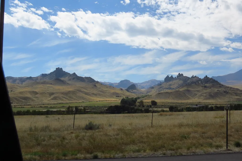
Four Bear Mountain Trail
~14 min drive
3.0 mi · Moderate

Elk Creek Trail
~14 min drive
15 mi · Hard

Crandal Cut Off
~30 min drive
3.1 mi · Moderate

Dead Indian Gulch Trail
~15 min drive
9.3 mi · Hard
Jim Mountain Cutaccross
~14 min drive
4.7 mi · Moderate
Jim Mountain Trail
~17 min drive
17 mi · Hard
Table Mountain
~27 min drive
9.2 mi · Moderate

Grizzly Ridge Trail
~20 min drive
13 mi · Hard
Clearwater Cr Trail
~27 min drive
6.5 mi · Moderate