Trail Creek
Campground
Campground · 4.5 mi from the trail
No closures listed
The Forest Service lists no closures for Caribou-Targhee National Forest.
As of · Source: USFS · Caribou-Targhee National Forest. Agencies don't list every closure — check before you go.
Sheep Driveway is a 10.2-mile out-and-back hike in Wyoming's Caribou-Targhee National Forest, within the Palisades Ranger District. The trail rises from about 8,800 feet to a high point of 9,383 feet, with a total elevation gain of 516 feet. The Forest Service manages the land, and the route is rated hard. The trail is natural-surfaced and open year-round. Bikes and horses are both allowed, so it works for riders and pack animals as well as hikers. The climb is a steady one, and the route makes a good base for exploring the surrounding area. Mikesell, a mountain biking spot, is about 1.3 miles away, and Corral Canyon and Palisades Peak Ridge are hikes across the Idaho line, each about 2 miles off. Trail Creek campground, roughly 4.5 miles away, offers a place to stay.
Trail Creek
Campground
Places © OpenStreetMap contributors
More in JacksonNot on Roamze yet. Their page has how to reach them.
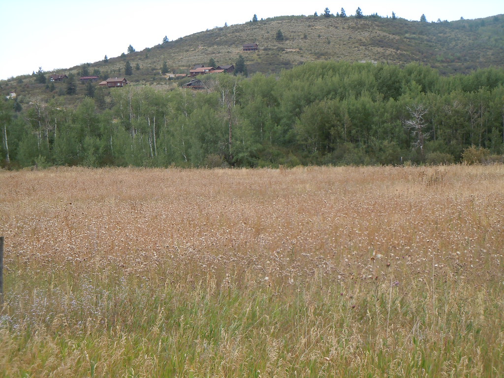 Photo: Matt Lavin, CC BY-SA 2.0 (via Flickr)
Mikesell Canyon
~9 min drive
5.74-mile out-and-back trail in Mikesell Canyon, Idaho with 1,800 ft elevation gain.
Photo: Matt Lavin, CC BY-SA 2.0 (via Flickr)Campground
~9 min drive
0.84-mile loop trail in Idaho with 61 ft elevation gain.
HIKE
Corral Canyon
~4 min drive
9.50-mile out-and-back trail in Idaho with 2,374 ft elevation gain.
HIKE
Ice Cove
~5 min drive
Ice Cove is a 3.76-mile out-and-back trail in Idaho with 1,492 ft of elevation gain.
HIKE
MIKESELL CANYON SPUR
~8 min drive
1.38-mile out-and-back trail in Idaho with 421 ft elevation gain and loss.
HIKE
Palisades Peak Ridge
~4 min drive
11.81-mile out-and-back trail in Idaho with 1,904 ft elevation gain.
HIKE
East Fork Palisades Creek
~5 min drive
4.74-mile out-and-back trail in Idaho with 532 ft elevation gain.
HIKE
Powerline Jumps
~10 min drive
1.02-mile out-and-back trail in Wyoming with 200 ft elevation gain.
HIKE
West Burbank Trail
~5 min drive
8.16-mile out-and-back hike in Wyoming with 3,499 ft elevation gain/loss
HIKE
Elbow Fork
~6 min drive
3.53-mile out-and-back trail in Idaho with 946 ft gain
Season: Year-round.
About 10.2 mi round trip.
About 516 ft of climbing round trip.
It is rated hard.
About 3.5 hours round trip.
Year-round.
2: Starvation Peak and Sheep Driveway.
Daily highs and lows, wind and the chance of precipitation at the summit and route start for the next 7 days, from the Open-Meteo model.

