Trail Creek
Campground
Campground · 3.3 mi from the trail
No closures listed
The Forest Service lists no closures for Caribou-Targhee National Forest.
As of · Source: USFS · Caribou-Targhee National Forest. Agencies don't list every closure — check before you go.
Elbow Fork is a moderate out-and-back hike in Idaho's Caribou-Targhee National Forest, within the Palisades Ranger District. The trail is about 3.5 miles long and climbs from roughly 7,450 feet to about 8,400 feet, with a total gain of about 950 feet, so you can expect a steady, noticeable rise over the course of the route. The Forest Service manages the land, and the trail is open year-round. It is natural-surfaced, and both horses and bikes are allowed, so it works for riders and pack animals as well as hikers. Summer is the most comfortable time to go. Typical averages from a nearby weather station show July highs around 77°F and lows near 42°F, while winter brings highs in the mid-20s and regular snow days. Several other hikes lie within about 2 miles, including Fogg Hill and Mikesell. For an overnight base, Trail Creek campground is about 3 miles away.
Trail Creek
Campground
Flat Creek Overlook
Viewpoint
Places © OpenStreetMap contributors
More in JacksonNot on Roamze yet. Their page has how to reach them.
Best months: June–September. Best months have typical highs of 55–85 °F, lows of 30 °F or warmer (32 °F where the station doesn't record snow), at most one snowy day and no more than 12 wet days.
Jan
24° / 1°
14 wet · 14 snow
Feb
30° / 4°
12 wet · 11 snow
Mar
39° / 12°
12 wet · 9 snow
Apr
46° / 21°
12 wet · 6 snow
May
56° / 31°
12 wet · 2 snow
Jun
67° / 37°
10 wet
Jul
77° / 42°
8 wet
Aug
76° / 40°
8 wet
Sep
66° / 34°
8 wet
Oct
51° / 25°
9 wet · 3 snow
Nov
35° / 14°
12 wet · 9 snow
Dec
24° / 4°
15 wet · 14 snow
Typical high / low (°F) and days with rain or snow, 1991–2020. Measured at Moran 5wnw, WY, 34.7 mi away at 6,805 ft. The station sits about 1,600 ft lower than this place, so expect it a little cooler here. Source: NOAA NCEI U.S. Climate Normals 1991–2020.
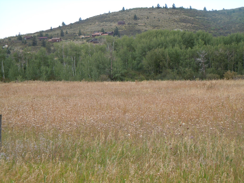 Photo: Matt Lavin, CC BY-SA 2.0 (via Flickr)
Mikesell Canyon
~5 min drive
5.74-mile out-and-back trail in Mikesell Canyon, Idaho with 1,800 ft elevation gain.
Photo: Matt Lavin, CC BY-SA 2.0 (via Flickr)Campground
~5 min drive
0.84-mile loop trail in Idaho with 61 ft elevation gain.
HIKE
Fogg Hill
~3 min drive
8.18-mile out-and-back trail in Idaho with 959 ft elevation gain.
HIKE
Pole Canyon Ridge 174
~3 min drive
5.48-mile out-and-back trail in Idaho with 395 ft elevation gain.
HIKE
MIKESELL CANYON SPUR
~3 min drive
1.38-mile out-and-back trail in Idaho with 421 ft elevation gain and loss.
HIKE
Mikesell
~3 min drive
9.47-mile out-and-back trail in Idaho with 462 ft elevation gain.
HIKE
Ice Cove
~5 min drive
Ice Cove is a 3.76-mile out-and-back trail in Idaho with 1,492 ft of elevation gain.
HIKE
Game Creek Trail
~10 min drive
1.36-mile out-and-back trail in Wyoming with 393 ft elevation gain
HIKE
Corral Canyon
~4 min drive
9.50-mile out-and-back trail in Idaho with 2,374 ft elevation gain.
HIKE
East Fork Palisades Creek
~5 min drive
4.74-mile out-and-back trail in Idaho with 532 ft elevation gain.

