Mount Isabel Cutoff Trail
- 1.5 mi
- round trip
- 1,192 ft
- climb
- 9,610 ft
- high point
- Out and back
- route
Is Mount Isabel Cutoff Trail open right now?
No closures listed
The Forest Service lists no closures for Bridger-Teton National Forest.
As of · Source: USFS · Bridger-Teton National Forest. Agencies don't list every closure — check before you go.
The Mount Isabel Cutoff Trail is a 3-mile out-and-back hike in the Kemmerer Ranger District of Bridger-Teton National Forest in Wyoming, managed by the Forest Service. The trail starts at about 9,610 feet and climbs to a high point of 9,610 feet, with a total gain of 1,192 feet over the course of the route. The climb is back-loaded, with the steepest stretch at about 0.94 miles in, where the grade reaches 45 percent. The trail is rated moderate. The hike takes about 1.5 hours to complete. The Mount Isabel trail lies just 0.1 mile away, and Bull Mountain and the Poker-Creek-Cutoff Trail are both within about 3 miles. Lake Alice Campground, about 3.5 miles off, is the closest place to camp.
- Mount IsabelHiking0.1 mi
- MOUNT ISABEL CUTOFFHiking1.5 mi
- Bull MountainHiking2.3 mi
- Poker-Creek-Cutoff TrailHiking2.8 mi
- Lake Alice CampgroundCamping3.5 mi
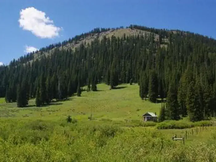 La Barge Guard StationCampingPhoto: Recreation.gov (RIDB) / public domain5.3 mi
- Hobble Creek CampgroundCamping5.4 mi
- Smiths ForkCanoeing8.2 mi
Source: Roamze catalog (indexable pages within 10 miles, PostGIS distance)
- MOUNT ISABEL CUTOFFHiking · ~3 min drive
- Coantag RidgeHiking · ~5 min drive
- Wagner MT - Poker Hollow TrailHiking · ~10 min drive
- Bull MountainHiking · ~4 min drive
- Clear Cr - Fontenelle LakesHiking · ~6 min drive
- Lander Cutoff National Historic TrailHiking · ~11 min drive
- Poker-Creek-Cutoff TrailHiking · ~5 min drive
- Coppermine-LabargeHiking · ~7 min drive
- HAMS FORK CUTOFFHiking · ~12 min drive
- Lake Alice OverlookHiking · ~9 min drive

Map and trail data © OpenStreetMap contributors
