Poker-Creek-Cutoff Trail
- 1.8 mi
- round trip
- 1,598 ft
- climb
- 9,321 ft
- high point
- Out and back
- route
Is Poker-Creek-Cutoff Trail open right now?
No closures listed
The Forest Service lists no closures for Bridger-Teton National Forest.
As of · Source: USFS · Bridger-Teton National Forest. Agencies don't list every closure — check before you go.
The Poker-Creek-Cutoff Trail is an out-and-back hike in Wyoming's Bridger-Teton National Forest, within the Kemmerer Ranger District. The Forest Service manages the land, and the trail sits at about 9,300 feet on the high point of its route, which drops to around 8,000 feet at the low point. The total round-trip distance is 3.5 miles, with a total gain of about 1,600 feet. The trail is a rolling climb, and the steepest stretch comes at about 1.3 miles in, where the grade reaches 21 percent. The hike is rated moderate, and it takes about two hours to complete. The Mount Isabel Cutoff lies about 1.6 miles away, and the Mount Isabel trail is about 2.8 miles off. For camping, La Barge Guard Station is roughly 3.5 miles away, and Lake Alice Campground is about 4.8 miles away.
- MOUNT ISABEL CUTOFFHiking1.6 mi
- Mount IsabelHiking2.8 mi
- Mount Isabel Cutoff TrailHiking2.8 mi
- Poker CreekHiking3.1 mi
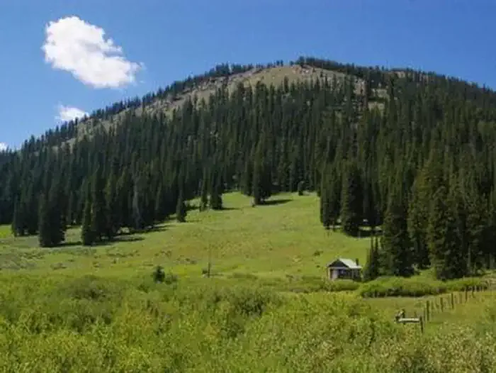 La Barge Guard StationCampingPhoto: Recreation.gov (RIDB) / public domain3.5 mi
- Lake Alice CampgroundCamping4.8 mi
- Hobble Creek CampgroundCamping5.9 mi
- Smiths ForkCanoeing7.9 mi
Source: Roamze catalog (indexable pages within 10 miles, PostGIS distance)
- MOUNT ISABEL CUTOFFHiking · ~3 min drive
- Mount IsabelHiking · ~5 min drive
- Wagner MT - Poker Hollow TrailHiking · ~5 min drive
- Mount Isabel Cutoff TrailHiking · ~5 min drive
- Poker CreekHiking · ~5 min drive
- Ccc CampHiking · ~12 min drive
- Bull MountainHiking · ~9 min drive
- Coppermine-LabargeHiking · ~6 min drive
- Way TrailHiking · ~12 min drive
- Lake Alice OverlookHiking · ~10 min drive
