Clear Cr - Fontenelle Lakes
- 15.8 mi
- round trip
- 1,484 ft
- climb
- 9,718 ft
- high point
- Out and back
- route
Is Clear Cr - Fontenelle Lakes open right now?
No closures listed
The Forest Service lists no closures for Bridger-Teton National Forest.
As of · Source: USFS · Bridger-Teton National Forest. Agencies don't list every closure — check before you go.
Clear Cr - Fontenelle Lakes is a hard hike in Wyoming's Bridger-Teton National Forest, within the Kemmerer Ranger District. The route is an out-and-back of about 15.8 miles, with a one-way elevation gain of 1,484 feet, starting at a low point of 8,446 feet and reaching a high of 9,718 feet. The trailhead is Clear Creek Trailhead, and the trail is open from May 1 through October 31. The trail is on natural surface, and it is open to both horses and bikes. That makes it a versatile route for riders and pack animals as well as hikers. The trip is long and the climb is steep, so plan on a full day. The nearest town is La Barge, about 3.8 miles away, and La Barge Guard Station offers camping. Mount Isabel is about 3.4 miles off, and Poker Creek is about 2.6 miles away.
Local outfitters
- Yellowstone Trail RV Park47 mi away
Not on Roamze yet. Their page has how to reach them.
- Poker CreekHiking2.6 mi
- MOUNT ISABEL CUTOFFHiking2.9 mi
- Continental Divide Nation Scen - ColoradoHiking3.3 mi
- Mount IsabelHiking3.4 mi
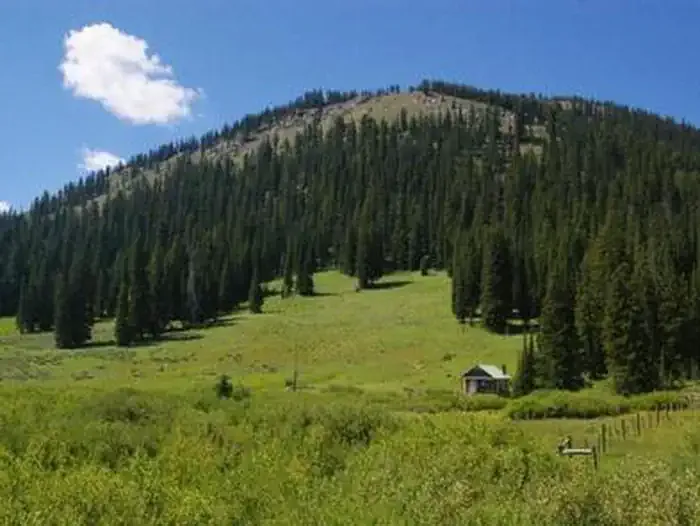 La Barge Guard StationCampingPhoto: Recreation.gov (RIDB) / public domain3.8 mi
- Scaler Guard StationCamping4.9 mi
- Lake Alice CampgroundCamping6.9 mi
- Hobble CreekCanoeing8.4 mi
Source: Roamze catalog (indexable pages within 10 miles, PostGIS distance)
- Poker CreekHiking · ~4 min drive
- MOUNT ISABEL CUTOFFHiking · ~5 min drive
- Lander Cutoff National Historic TrailHiking · ~6 min drive
- Wyoming Peak TrailHiking · ~14 min drive
- Continental Divide Nation Scen - ColoradoHiking · ~6 min drive
- Mount Isabel Cutoff TrailHiking · ~6 min drive
- Lander Trail ConnectorHiking · ~10 min drive
- Mount IsabelHiking · ~6 min drive
- Poker-Creek-Cutoff TrailHiking · ~7 min drive
- Lander Cut-Off TrailHiking · ~10 min drive

