Loading…

Free — you'll pick up right here.
Watch this trail
Sign up to watch it — saving subscribes you to gate, closure and report changes.
Wyoming
7.3 mi
Distance
422 ft
Gain
2h 39m
Time
We won't guess. Here is exactly what we do and don't know.
What we do know
Inside Bridger-Teton National Forest
2 managing-area boundaries mapped — agency alerts for them feed this page automatically.
Boundary data
What's missing
No access route mapped
We don't yet know which road reaches this trailhead, so we can't tell you if it's gated.
Nobody's filed a report here yet — be the first.
Why you'll love it
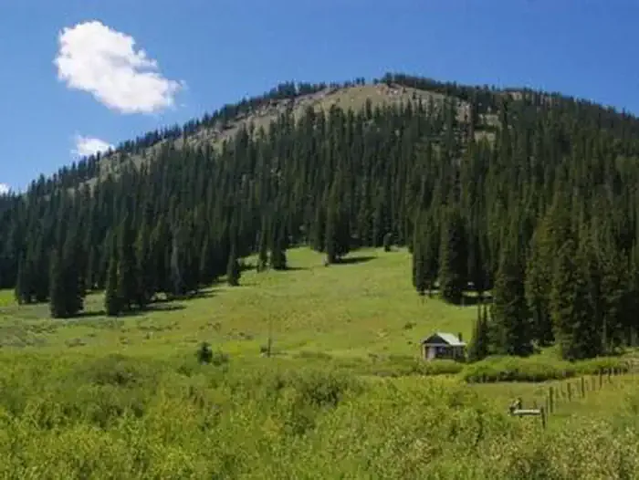
Mount Isabel
AI-suggested draft · review before you go
No permit or access details on file for this trail — check with the local land manager before you go.
Mount Isabel is a 7.3-mile out-and-back trail located in Wyoming. The route offers hikers a straightforward journey to the summit, with the full distance covering 14.6 miles of total travel. This out-and-back format makes it easy to turn back at any point if needed, giving hikers flexibility in how far they venture. The trail provides access to Mount Isabel's peak, making it suitable for those seeking a moderate distance hike in the Wyoming backcountry. The out-and-back design means hikers will retrace their steps on the return journey, allowing them to enjoy familiar terrain and landmarks on the way down. Mount Isabel is a good option for hikers looking to explore Wyoming's natural landscape without requiring technical climbing skills or specialized equipment. The trail is accessible to hikers of varying experience levels who are comfortable with a half-day to full-day outing.

Salt River
~18 min drive
18 mi · Hard
Bull Mountain
~4 min drive
3.5 mi · Moderate
Lake Alice Overlook
~9 min drive
2.8 mi · Easy
Coantag Ridge
~5 min drive
6.8 mi · Hard
Way Creek
~14 min drive
5.4 mi · Moderate
Devils Hole Lakes
~14 min drive
2.0 mi · Easy
Clear Cr - Fontenelle Lakes
~6 min drive
16 mi · Hard
North Fork South Piney
~14 min drive
7.4 mi · Moderate
Way Trail
~16 min drive
1.7 mi · Easy
Coppermine-Labarge
~7 min drive
14 mi · Hard