Jim Creek Lake
- 7.5 mi
- round trip
- 1,318 ft
- climb
- 9,958 ft
- high point
- Out and back
- route
Is Jim Creek Lake open right now?
No closures listed
The Forest Service lists no closures for Bridger-Teton National Forest.
As of · Source: USFS · Bridger-Teton National Forest. Agencies don't list every closure — check before you go.
Jim Creek Lake is a moderate out-and-back hike in the Pinedale Ranger District of Bridger-Teton National Forest in Wyoming, about 7.5 miles long with a total elevation gain of 1,318 feet. The trail starts at a low point of about 8,405 feet and climbs to a high point of about 9,958 feet. The Forest Service manages the land, and the route is on natural surface, with horses allowed. The hike is open from May 1 through October 31. The Jim Creek Road climbing area sits about half a mile away, and the Fateful Findings Area is about 1.2 miles off. Whiskey Grove Campground, about 4.4 miles away, and Sawmill Park, about 5.1 miles away, are the closest places to camp and hike.
Local outfitters
- Yellowstone Trail RV Park24 mi away
- The Virginian RV Park45 mi away
Not on Roamze yet. Their page has how to reach them.
- Jim Creek RoadRock climbing0.5 mi
- Fateful Findings AreaRock climbing1.2 mi
- N SNOWOBILE TRAILHiking2.6 mi
- Whiskey Grove CampgroundCamping4.4 mi
- Sawmill ParkHiking5.1 mi
- New ForkHiking6 mi
- The Narrows CampgroundCamping6.9 mi
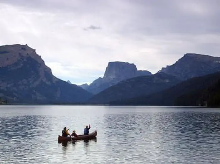 Green River Lakes - Bridger-Teton NFLake fishing9 mi
Source: Roamze catalog (indexable pages within 10 miles, PostGIS distance)
- N SNOWOBILE TRAILHiking · ~4 min drive
- Sawmill ParkHiking · ~9 min drive
- Shirley LakeHiking · ~11 min drive
- Lost Camp TrailHiking · ~16 min drive
- Gannett Peak TrailHiking · ~29 min drive
- New ForkHiking · ~10 min drive
- LakesideHiking · ~15 min drive
- Wo He Lo TrailHiking · ~16 min drive
- Boulder Basin/Lowline TrailHiking · ~11 min drive
- DoubletopHiking · ~16 min drive
