Doubletop
- 24.2 mi
- round trip
- 2,822 ft
- climb
- 10,792 ft
- high point
- Out and back
- route
Is Doubletop open right now?
No closures listed
The Forest Service lists no closures for Bridger-Teton National Forest.
As of · Source: USFS · Bridger-Teton National Forest. Agencies don't list every closure — check before you go.
Doubletop is a hard out-and-back hike in Wyoming's Bridger-Teton National Forest, within the Pinedale Ranger District. The route stretches about 24 miles, rising from a low point of 7,905 feet to a high of 10,792 feet. It is a long, steep climb, with an elevation gain of about 2,800 feet. The trail is on natural surface, and horses are allowed. Bikes are not. It is managed by the Forest Service, and the open season runs from May 1 to October 31. Section Corner, a hike about 0.7 miles away, is the closest neighbor. Narrows Campground and the Boulder Basin/Lowline Trail both sit about 2.9 miles out. Paddlers can reach the New Fork River, roughly 4.9 miles away.
Local outfitters
- Yellowstone Trail RV Park15 mi away
Not on Roamze yet. Their page has how to reach them.
- Section CornerHiking0.7 mi
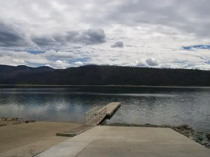 Narrows CampgroundCampingPhoto: Recreation.gov (RIDB) / public domain2.9 mi
- Boulder Basin/Lowline TrailHiking2.9 mi
- The Narrows CampgroundCamping3 mi
- New Fork RiverCanoeing4.9 mi
- New Fork ParkRock climbing5.3 mi
- Willow CreekCanoeing6.4 mi
- Moosehead BayRock climbing7.6 mi
Source: Roamze catalog (indexable pages within 10 miles, PostGIS distance)
- Section CornerHiking · ~1 min drive
- Boulder Basin/Lowline TrailHiking · ~5 min drive
- Snake LakeHiking · ~7 min drive
- Heart LakeHiking · ~11 min drive
- Palmer Lake TrailHiking · ~8 min drive
- Jackson PeakHiking · ~15 min drive
- Lost Camp TrailHiking · ~9 min drive
- ElkchaseHiking · ~15 min drive
- Trapper LakeHiking · ~10 min drive
- N SNOWOBILE TRAILHiking · ~20 min drive
