Shirley Lake
- 4.3 mi
- round trip
- 2,498 ft
- climb
- 9,996 ft
- high point
- Out and back
- route
Shirley Lake is a 4.3-mile out-and-back hike in the Bridger Wilderness, part of the Pinedale Ranger District of Bridger-Teton National Forest in Wyoming. The trail climbs from a low point of 8,878 feet to a high of 9,996 feet, with a total elevation gain of 2,498 feet over the round trip. The steepest stretch comes early, at about 0.18 miles in, with a grade of 21 percent. The route is rated moderate, and the Forest Service manages the land. The trail is on natural surface, and horses are allowed. Bikes are not. The open season runs from May 1 to October 31, and the hike takes about 2.5 hours. Nearby, Clear Creek and Lakeside are both within 3 miles. Green River Lakes offers fishing and camping, and Slide Lake is about 3.1 miles away.
Local outfitters
- Yellowstone Trail RV Park28 mi away
- The Virginian RV Park48 mi away
Not on Roamze yet. Their page has how to reach them.
- Clear CreekHiking2.5 mi
- LakesideHiking2.9 mi
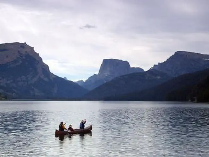 Green River Lakes - Bridger-Teton NFLake fishing3 mi
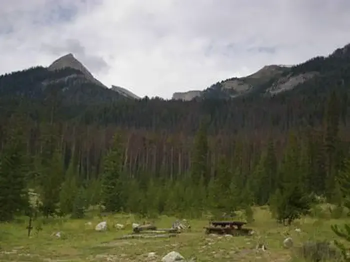 Green River Lakes - Bridger-Teton NF (WY)CampingPhoto: Recreation.gov (RIDB) / public domain3 mi
- Green River Lake LodgeCamping3.1 mi
- Slide LakeHiking3.1 mi
- Jim Creek RoadRock climbing7.1 mi
- Fateful Findings AreaRock climbing7.7 mi
Source: Roamze catalog (indexable pages within 10 miles, PostGIS distance)
- Slide LakeHiking · ~5 min drive
- Green River/highline ConnectorHiking · ~6 min drive
- New ForkHiking · ~9 min drive
- Boulder Basin/Lowline TrailHiking · ~18 min drive
- Jim Creek LakeHiking · ~11 min drive
- Lost Camp TrailHiking · ~17 min drive
- Clark CreekHiking · ~11 min drive
- Gannett Peak TrailHiking · ~22 min drive
- Heart LakeHiking · ~20 min drive
- Glacier TrailHiking · ~19 min drive
