Granite Loop Trail
- 8.8 mi
- round trip
- 708 ft
- climb
- 8,869 ft
- high point
- Out and back
- route
- Jun–Aug
- best months
Is Granite Loop Trail open right now?
Alert in the area
The Forest Service lists an alert for Shoshone National Forest.
Morrison Jeep Trail
Agency alert covering Shoshone National Forest · USFS · Shoshone National Forest
As of · Source: USFS · Shoshone National Forest. Agencies don't list every closure — check before you go.
Granite Loop Trail is an 8.8-mile out-and-back hike in Wyoming's Absaroka-Beartooth Wilderness, within the Clarks Fork Ranger District of Shoshone National Forest. The Forest Service manages the land, and the trail is accessible, with a natural surface that allows horses. Bikes are not permitted. The route rises from a low point of 8,162 feet to a high of 8,869 feet, a climb of 708 feet one way. It is rated hard, so plan for a full day on foot. Summer is the most comfortable time to go. Typical averages from a nearby weather station at Silver Gate, Montana, show July highs around 74°F with lows near 40°F. That station sits about 1,400 feet lower than the trail's high point, so temperatures on the route run cooler. The Upper Granite Loop Trail starts just 0.1 mile away. Beartooth Lake Campground and Lily Lake Campground are both within about 3.5 miles, and the Absaroka Range climbing area is about 4.3 miles off.
Best time to go · Jun–Aug
Best time to visit Granite Loop Trail
Best months: June–August. Best months have typical highs of 55–85 °F, lows of 30 °F or warmer (32 °F where the station doesn't record snow), at most one snowy day and no more than 12 wet days.
Jan
27° / 3°
Feb
30° / 5°
Mar
39° / 12°
Apr
44° / 20°
May
55° / 29°
Jun
65° / 35°
Jul
74° / 40°
Aug
73° / 37°
Sep
64° / 30°
Oct
50° / 23°
Nov
33° / 12°
Dec
24° / 2°
Typical high / low (°F) and days with rain or snow, 1991–2020. Measured at Silver Gate, MT, 16.1 mi away at 7,495 ft. The station sits about 1,400 ft lower than this place, so expect it a little cooler here. This station doesn't record snowfall. Source: NOAA NCEI U.S. Climate Normals 1991–2020.
Keep exploring — more trails worth the drive
 Photo: Matt Lavin from Bozeman, Montana, USA, CC BY-SA 2.0 (via Wikimedia Commons)
Glacier Lake Trail
~11 min drive
0.6-mile out-and-back hike to Glacier Lake in Montana
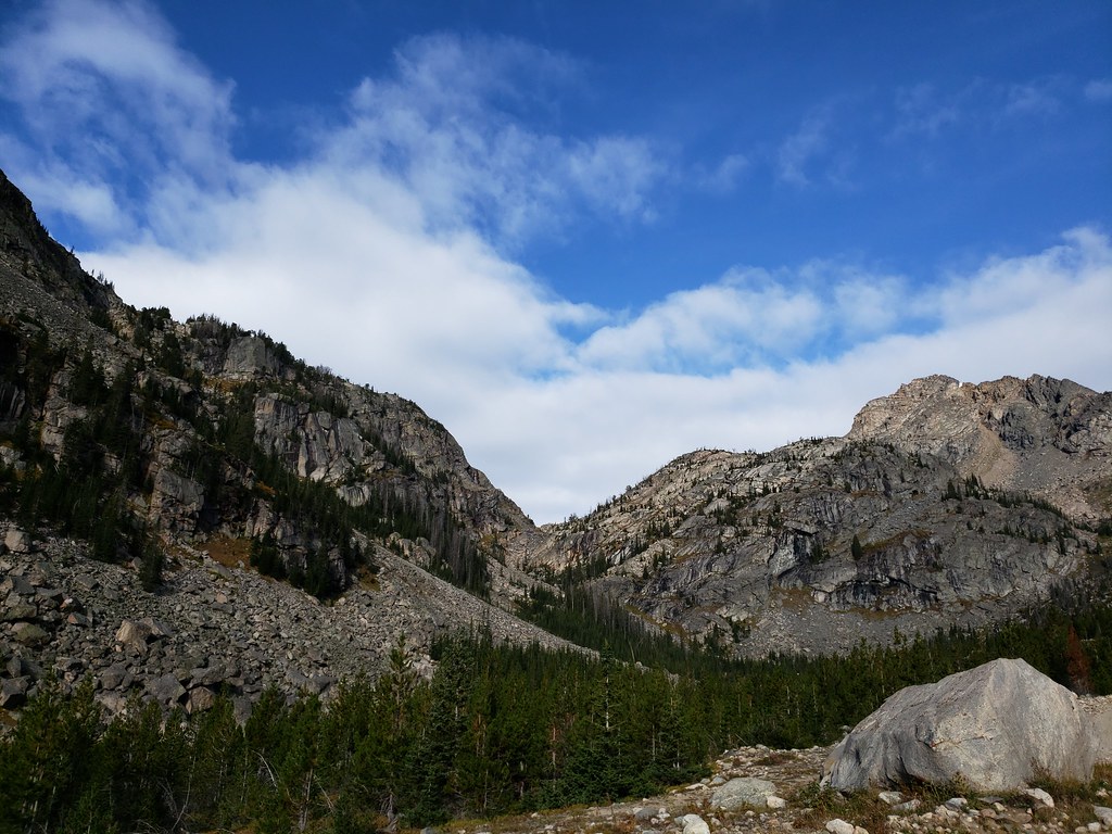 Photo: Forest Service - Northern Region, Public Domain Mark (via Flickr)
Moon Lake Trail
~12 min drive
4.02-mile out-and-back trail in Montana with 2,019 ft elevation gain and loss.
 Photo: Chris Light, CC BY-SA 4.0 (via Wikimedia Commons)
Beartooth Loop
~13 min drive
8.72-mile out-and-back trail in Wyoming with 592 ft gain
 Photo: Matt Lavin, CC BY-SA 2.0 (via Flickr)
Keyser Brown Trail
~18 min drive
1.52-mile out-and-back trail in Montana with 589 ft elevation gain.
Photo: Forest Service - Northern Region, Public Domain Mark (via Flickr)Glacier Lake
~12 min drive
4.31-mile out-and-back trail to Glacier Lake in Montana with 1,202 ft of elevation gain.
HIKE
Beartooth High Lakes Trail
~9 min drive
18.28-mile out-and-back hike in Wyoming with 465 ft gain.
HIKE
Clay Butte Cutoff Trail
~1 min drive
1.14-mile out-and-back trail in Wyoming with 414 ft elevation gain.
HIKE
Clay Butte Trail
~2 min drive
5.92-mile out-and-back trail in Wyoming with 504 ft gain.
HIKE
Farley Lake Loop
~9 min drive
11.89-mile loop trail in Wyoming with 661 ft elevation gain.
HIKE
Granite Lake Loop Connector
~5 min drive
0.62-mile out-and-back trail in Montana with 230 ft of elevation gain.

