Farley Lake Loop
- 11.9 mi
- loop
- 661 ft
- climb
- 9,754 ft
- high point
- Loop
- route
Is Farley Lake Loop open right now?
Closure in the area
There's a closure order in Custer Gallatin National Forest. It doesn't name Farley Lake Loop, so check the source for the area it covers (14 listed).
NFSR #1700 South Plateau Road Closure
Agency closure covering Custer Gallatin National Forest · USFS · Custer Gallatin National Forest
Tom Miner Campground Closure
Agency closure covering Gardiner Ranger District · Order 01-11-03-26-02 · USFS · Gardiner Ranger District
Hyalite Porcupine Buffalo Horn Summer Interim Travel Order and Map and Order # 01-11-00-26-02
Agency closure covering Custer Gallatin National Forest · Order 01-11-00-26-02 · USFS · Custer Gallatin National Forest
Hyalite Porcupine Buffalo Horn Winter Interim Travel Order and Map Order Number: #01-11-00-26-01
Agency closure covering Custer Gallatin National Forest · USFS · Custer Gallatin National Forest
Glacier Lake Road #2421 Closure Order Number: # 01-11-82-26- 01
Agency closure covering Custer Gallatin National Forest · Order 01-11-82-26- · USFS · Custer Gallatin National Forest
As of · Source: USFS · Custer Gallatin National Forest. Agencies don't list every closure — check before you go.
Farley Lake Loop is a 12-mile loop in the Absaroka-Beartooth Wilderness, part of the Gardiner Ranger District of Custer Gallatin National Forest in Wyoming. The trail climbs from about 8,600 feet to roughly 9,750 feet, with a total elevation gain of 661 feet, and it is rated hard. The route is a natural-surface loop, and horses are allowed. Bikes are not. The Forest Service manages the land, and the trail is open year-round. Plan on about 4.5 hours for the trip. Lake Reno Trail and Big Moose Lake Trail both lie about 1.4 miles away. Lily Lake Campground and Crazy Creek Campground are within about 5 miles.
Keep exploring — more trails worth the drive
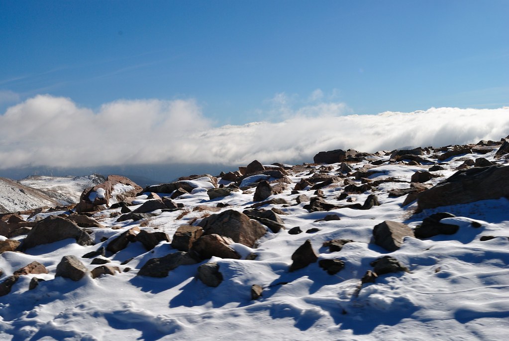 Photo: richsandroid, CC BY 2.0 (via Flickr)
Soda Butte Creek Trail
~14 min drive
1.14-mile out-and-back trail in Montana with 278 ft of elevation gain
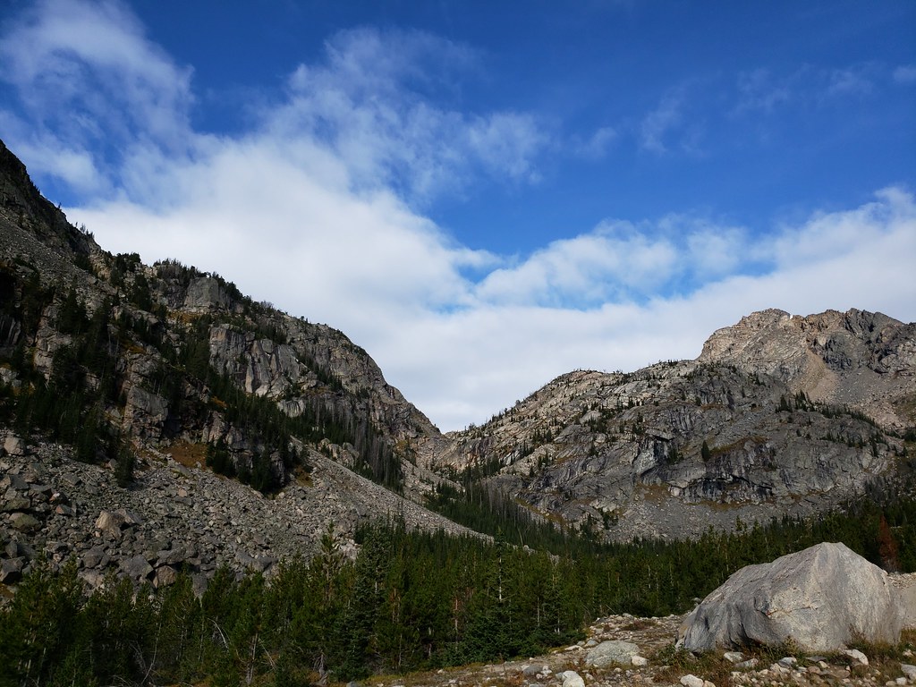 Photo: Forest Service - Northern Region, Public Domain Mark (via Flickr)
Moon Lake Trail
~18 min drive
4.02-mile out-and-back trail in Montana with 2,019 ft elevation gain and loss.
HIKE
Crazy Creek Trail
~7 min drive
10.76-mile out-and-back trail in Wyoming with 2,285 ft elevation gain.
 Photo: Matt Lavin from Bozeman, Montana, USA, CC BY-SA 2.0 (via Wikimedia Commons)
Glacier Lake Trail
~17 min drive
0.6-mile out-and-back hike to Glacier Lake in Montana
Photo: Forest Service - Northern Region, Public Domain Mark (via Flickr)Glacier Lake
~18 min drive
4.31-mile out-and-back trail to Glacier Lake in Montana with 1,202 ft of elevation gain.
HIKE
Russell Creek
~7 min drive
19.95-mile out-and-back trail in Montana with 3,068 ft elevation gain.
HIKE
Lake Reno Trail
~2 min drive
0.92-mile out-and-back trail to Lake Reno in Wyoming with 257 ft of elevation gain.
 Photo: Matt Lavin, CC BY-SA 2.0 (via Flickr)
Black Warrior Trail
~19 min drive
3.5-mile out-and-back trail in Montana with 1,419 ft elevation gain
HIKE
Granite Loop Trail
~9 min drive
8.76-mile out-and-back hike in Wyoming with 708 ft gain.
HIKE
Big Moose Lake Trail
~2 min drive
1.29-mile out-and-back trail in Wyoming with 139 ft elevation gain.

