Clay Butte Trail
- 5.9 mi
- round trip
- 504 ft
- climb
- 9,761 ft
- high point
- Out and back
- route
Is Clay Butte Trail open right now?
Alert in the area
The Forest Service lists an alert for Shoshone National Forest.
Morrison Jeep Trail
Agency alert covering Shoshone National Forest · USFS · Shoshone National Forest
As of · Source: USFS · Shoshone National Forest. Agencies don't list every closure — check before you go.
Clay Butte Trail is a 5.9-mile out-and-back hike in Wyoming's Shoshone National Forest, within the Clarks Fork Ranger District. The trail rises from about 9,250 feet to about 9,760 feet, a climb of 504 feet, and is rated moderate. It is an accessible trail, and horses are allowed. The trailhead is at the Clay Butte parking area, and the route is open year-round. The natural-surface trail is accessible, so it works for a range of visitors. Nearby, the Clay Butte Cutoff Trail and the Upper Granite Loop Trail both lie within about a mile. Beartooth Lake Campground is about 2.3 miles away, and the Absaroka Range climbing area is about 3.3 miles off.
Keep exploring — more trails worth the drive
 Photo: Matt Lavin from Bozeman, Montana, USA, CC BY-SA 2.0 (via Wikimedia Commons)
Glacier Lake Trail
~10 min drive
0.6-mile out-and-back hike to Glacier Lake in Montana
 Photo: Chris Light, CC BY-SA 4.0 (via Wikimedia Commons)
Beartooth Loop
~12 min drive
8.72-mile out-and-back trail in Wyoming with 592 ft gain
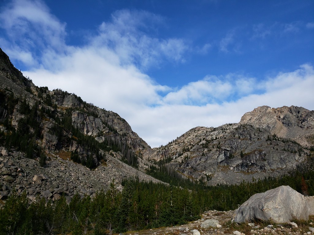 Photo: Forest Service - Northern Region, Public Domain Mark (via Flickr)
Moon Lake Trail
~12 min drive
4.02-mile out-and-back trail in Montana with 2,019 ft elevation gain and loss.
 Photo: Matt Lavin, CC BY-SA 2.0 (via Flickr)
Keyser Brown Trail
~18 min drive
1.52-mile out-and-back trail in Montana with 589 ft elevation gain.
HIKE
UPPER GRANITE LOOP TRAIL
~2 min drive
13.98-mile out-and-back trail in Wyoming with 3,221 ft elevation gain and loss.
Photo: Forest Service - Northern Region, Public Domain Mark (via Flickr)Glacier Lake
~12 min drive
4.31-mile out-and-back trail to Glacier Lake in Montana with 1,202 ft of elevation gain.
HIKE
Clay Butte Cutoff Trail
~2 min drive
1.14-mile out-and-back trail in Wyoming with 414 ft elevation gain.
HIKE
Granite Loop Trail
~2 min drive
8.76-mile out-and-back hike in Wyoming with 708 ft gain.
HIKE
Beauty Lake Trail
~4 min drive
4.60-mile out-and-back hike in Wyoming with 650 ft elevation gain.
HIKE
Beartooth Cr Trail
~3 min drive
5.29-mile out-and-back hike in Wyoming with 730 ft gain

