Glacier Lake Trail
 Photo: Matt Lavin from Bozeman, Montana, USA, CC BY-SA 2.0 (via Wikimedia Commons)
- 0.3 mi
- round trip
- 187 ft
- climb
- 9,778 ft
- high point
- Out and back
- route
Is Glacier Lake Trail open right now?
Closure in the area
There's a closure order in Beartooth Ranger District. It doesn't name Glacier Lake Trail, so check the source for the area it covers.
Pine Grove Campground Closure
Agency closure covering Beartooth Ranger District · Order 01-11-82-26-04 · USFS · Beartooth Ranger District
Morrison Jeep Trail
Agency alert covering Shoshone National Forest · USFS · Shoshone National Forest
Food Storage Order
Agency alert covering Beartooth Ranger District · Order 01-11-00-23-02 · USFS · Beartooth Ranger District
As of · Source: USFS · Beartooth Ranger District. Agencies don't list every closure — check before you go.
Glacier Lake Trail is a short, easy out-and-back hike in Montana's Shoshone National Forest, within the Beartooth Ranger District. The trail is about 0.6 miles long, with a total elevation gain of 187 feet, and it starts at roughly 9,731 feet. The high point on the route reaches about 9,778 feet, and the steepest stretch comes at about 0.23 miles in, with a grade of about 3 percent. The Forest Service manages the land, and the trail is a quick outing that pairs easily with other stops in the area. The trip takes about half an hour, so it works well as a short break or a way to stretch your legs before or after a longer day. Moon Lake Trail lies about 0.8 miles away, and Glacier Lake is about a mile off. Across the line in Wyoming, Beartooth Pass offers climbing about 4.3 miles away, and Island Lake Campground is about 4.4 miles away.
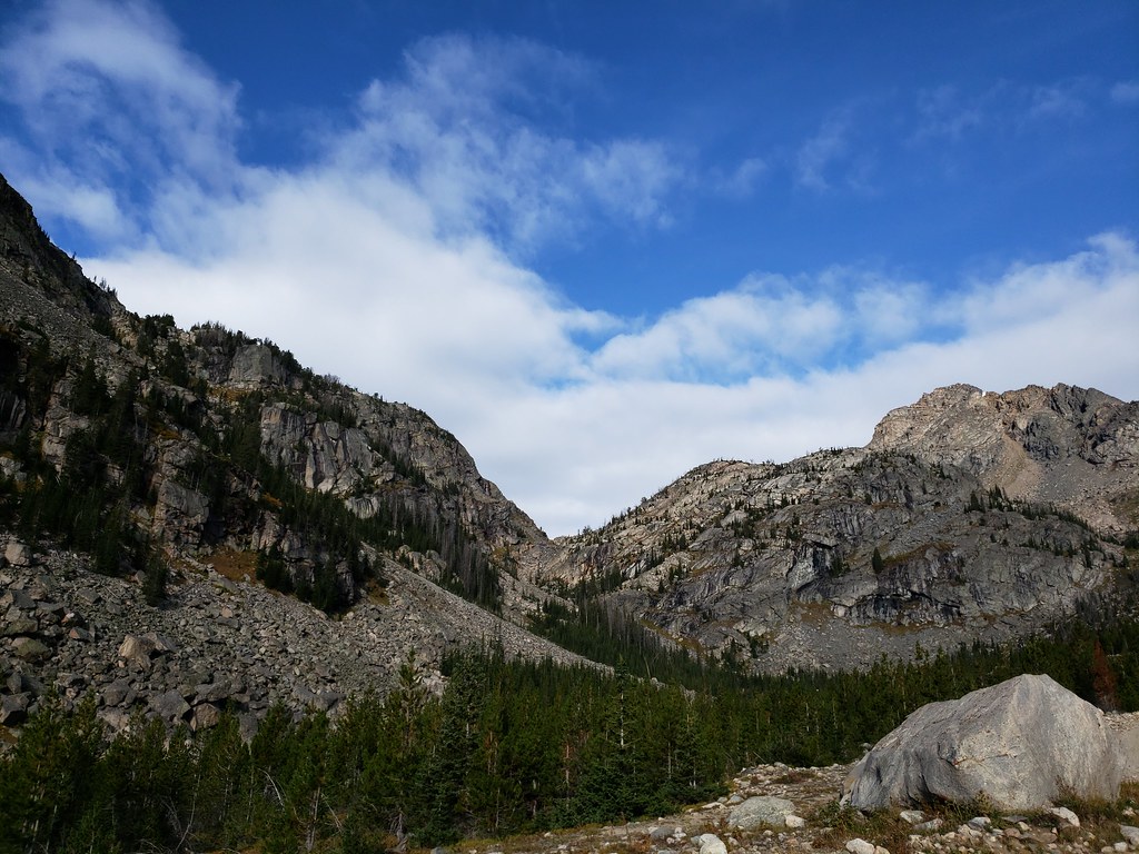 Moon Lake TrailHikingPhoto: Forest Service - Northern Region, Public Domain Mark (via Flickr)0.8 mi
- Glacier LakeHikingPhoto: Forest Service - Northern Region, Public Domain Mark (via Flickr)1 mi
- Beartooth PassRock climbing4.3 mi
- Island Lake CampgroundCamping4.4 mi
 Beartooth Lake CampgroundCampingPhoto: Matt Lavin, CC BY-SA 2.0 (via Wikimedia Commons)4.9 mi
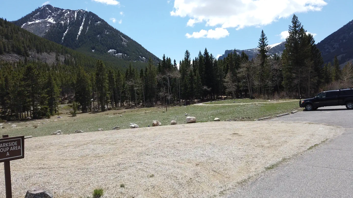 ParksideLake fishing7.3 mi
- Beartooth CreekCanoeing7.4 mi
- Absaroka RangeRock climbing7.6 mi
Source: Roamze catalog (indexable pages within 10 miles, PostGIS distance)
- Moon Lake TrailHiking · ~1 min drivePhoto: Forest Service - Northern Region, Public Domain Mark (via Flickr)
 Beartooth LoopHiking · ~8 min drivePhoto: Chris Light, CC BY-SA 4.0 (via Wikimedia Commons)
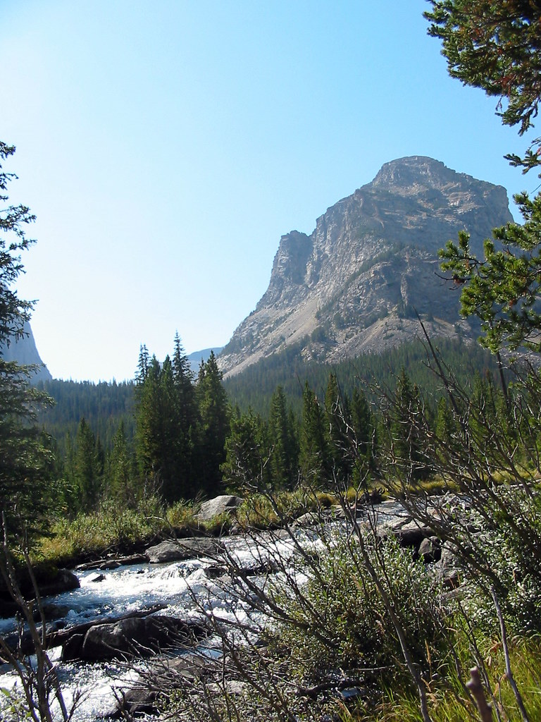 Lost LakeHiking · ~10 min drivePhoto: Stupid Dingo, CC BY 2.0 (via Flickr)
- Glacier LakeHiking · ~2 min drivePhoto: Forest Service - Northern Region, Public Domain Mark (via Flickr)
 Lake ForkHiking · ~13 min drivePhoto: Forest Service - Northern Region, Public Domain Mark (via Flickr)
 Keyser Brown TrailHiking · ~10 min drivePhoto: Matt Lavin, CC BY-SA 2.0 (via Flickr)
- Beauty Lake TrailHiking · ~7 min drive
 Bear TrackHiking · ~17 min drivePhoto: Matt Lavin, CC BY-SA 2.0 (via Flickr)
 Parkside TrailHiking · ~13 min drivePhoto: Forest Service - Northern Region, Public Domain Mark (via Flickr)
- Granite Lake TrailHiking · ~9 min drive
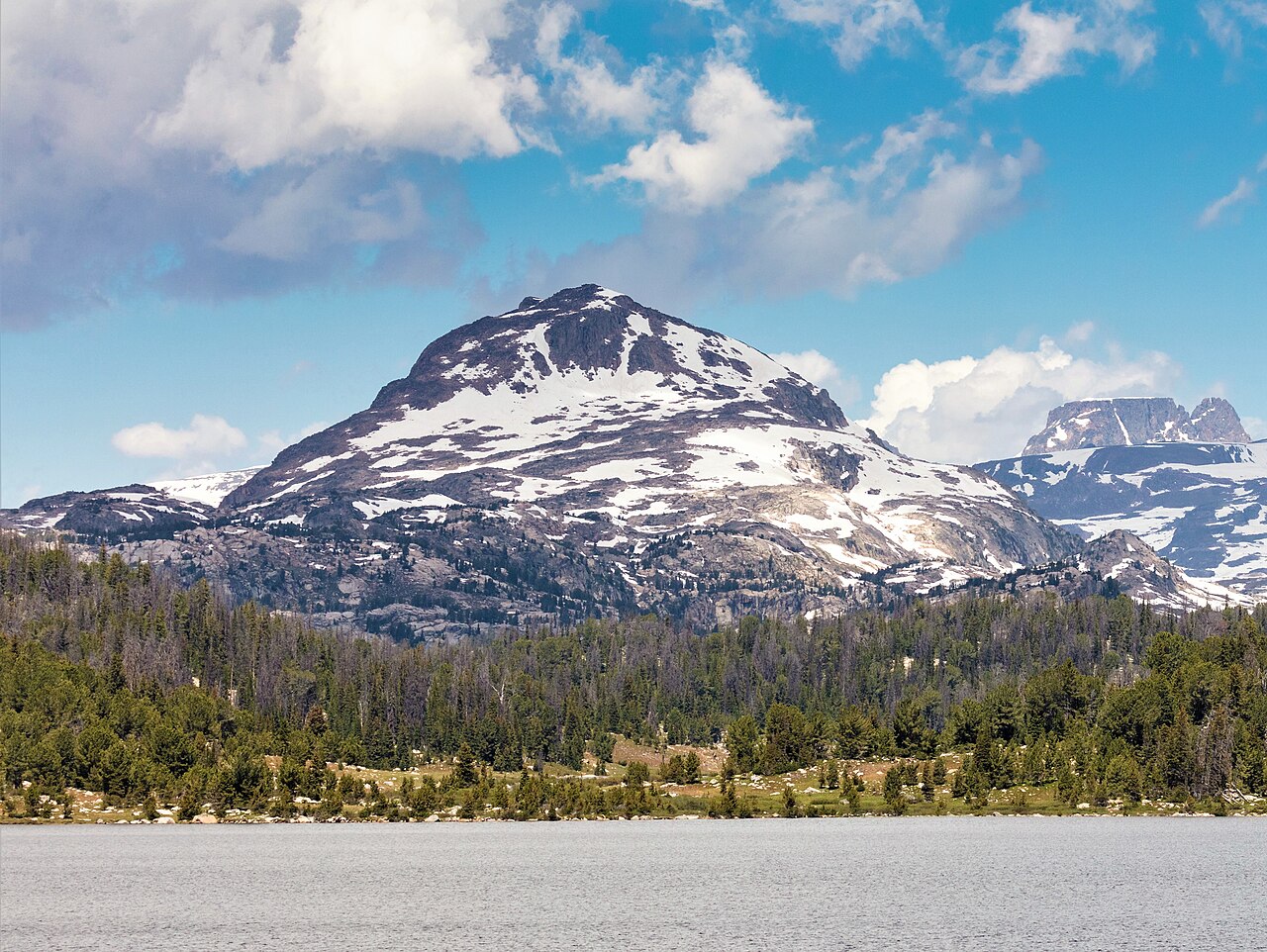
Map and trail data © OpenStreetMap contributors
