Beartooth Loop
 Photo: Chris Light, CC BY-SA 4.0 (via Wikimedia Commons)
- 8.7 mi
- round trip
- 592 ft
- climb
- 9,823 ft
- high point
- Out and back
- route
Is Beartooth Loop open right now?
Alert in the area
The Forest Service lists an alert for Shoshone National Forest.
Morrison Jeep Trail
Agency alert covering Shoshone National Forest · USFS · Shoshone National Forest
As of · Source: USFS · Shoshone National Forest. Agencies don't list every closure — check before you go.
The Beartooth Loop is an 8.7-mile out-and-back hike in the Clarks Fork Ranger District of Shoshone National Forest in Wyoming, managed by the Forest Service. The trail rises from about 9,070 feet to about 9,823 feet, with a total elevation gain of 592 feet, and it is rated hard. The route is natural-surface and accessible, and it allows horses and bikes. That makes it a practical choice for riders and pack animals as well as hikers. Island Lake Campground sits about 2 miles away, and the Beartooth Pass climbing area and the Beartooth High Lakes Trail are each within about 2.5 miles. Across the line in Montana, Glacier Lake is about 4 miles off.
Keep exploring — more trails worth the drive
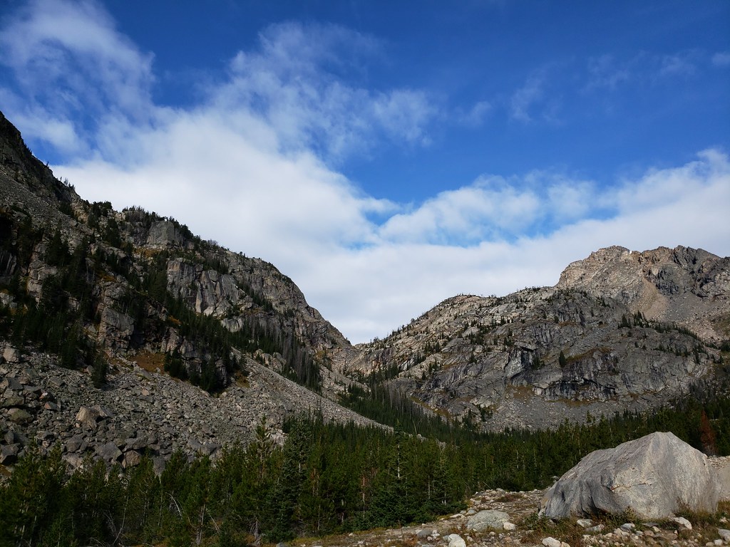 Photo: Forest Service - Northern Region, Public Domain Mark (via Flickr)
Glacier Lake
~7 min drive
4.31-mile out-and-back trail to Glacier Lake in Montana with 1,202 ft of elevation gain.
 Photo: Matt Lavin from Bozeman, Montana, USA, CC BY-SA 2.0 (via Wikimedia Commons)
Glacier Lake Trail
~8 min drive
0.6-mile out-and-back hike to Glacier Lake in Montana
 Photo: Forest Service - Northern Region, Public Domain Mark (via Flickr)
Lake Fork
~17 min drive
18.67-mile out-and-back trail in Montana with 3,847 ft elevation gain.
Photo: Forest Service - Northern Region, Public Domain Mark (via Flickr)Moon Lake Trail
~8 min drive
4.02-mile out-and-back trail in Montana with 2,019 ft elevation gain and loss.
 Photo: Forest Service - Northern Region, Public Domain Mark (via Flickr)
Greenough Lake
~14 min drive
0.47-mile out-and-back trail to Greenough Lake in Montana.
HIKE
Beartooth High Lakes Trail
~4 min drive
18.28-mile out-and-back hike in Wyoming with 465 ft gain.
HIKE
Beauty Lake Trail
~7 min drive
4.60-mile out-and-back hike in Wyoming with 650 ft elevation gain.
 Photo: Forest Service - Northern Region, Public Domain Mark (via Flickr)
Parkside Trail
~16 min drive
3.92-mile out-and-back hike in Montana with 800 ft elevation gain and loss.
HIKE
Line Creek Plateau
~11 min drive
15.87-mile out-and-back trail on Line Creek Plateau in Montana.
HIKE
Clay Butte Trail
~12 min drive
5.92-mile out-and-back trail in Wyoming with 504 ft gain.

