
Yellowstone Trail RV Park
Hiking business nearby (~45 mi away) — hasn't claimed their Roamze page yet
Free — you'll pick up right here.
Watch this trail
Sign up to watch it — saving subscribes you to gate, closure and report changes.
Wyoming
46.9 mi
Distance
5,653 ft
Gain
18h 27m
Time
We won't guess. Here is exactly what we do and don't know.
What we do know
Inside Bridger-Teton National Forest
2 managing-area boundaries mapped — agency alerts for them feed this page automatically.
Boundary data
What's missing
No access route mapped
We don't yet know which road reaches this trailhead, so we can't tell you if it's gated.
Nobody's filed a report here yet — be the first.
Why you'll love it
Continental Divide Nation Scen - Colorado
AI-suggested draft · review before you go
No permit or access details on file for this trail — check with the local land manager before you go.
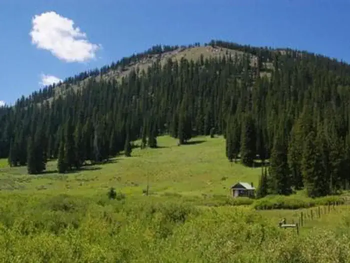
The Continental Divide National Scenic Trail in Wyoming is a rugged 46.9-mile point-to-point route that traverses high alpine terrain along the Continental Divide. This section challenges hikers with remote, exposed ridgelines and demanding terrain characteristic of the greater CDT system. The trail follows the watershed boundary that separates Pacific and Atlantic drainage systems, offering expansive mountain vistas and a sense of wilderness solitude. Hikers should prepare for unpredictable weather, including afternoon thunderstorms common at higher elevations. Water sources can be sparse in sections, requiring careful route planning and adequate supply management. This is an advanced-level hike best suited for experienced backpackers. The point-to-point format requires shuttle arrangements or additional transportation logistics. Given the remote nature and exposure to elements, proper navigation skills and backcountry experience are essential. Trekking poles are recommended for stability on rocky descents. Optimal hiking season typically runs from mid-summer through early fall when snow clears from high passes and weather is most stable. Start early in the season for the best conditions and reliable water availability.

Middle Piney North (H Trail)
~18 min drive
50 mi · Hard
North Fork South Piney
~6 min drive
7.4 mi · Moderate
Boco Creek
~12 min drive
2.9 mi · Easy
Wyoming Range National Recreation Trail
~2 min drive
155 mi · Hard
Fish Creek
~9 min drive
11 mi · Moderate
Wyoming Peak
~15 min drive
1.6 mi · Easy
South Piney Creek
~3 min drive
11 mi · Hard
South Piney Creek (S Trail)
~10 min drive
4.4 mi · Moderate
Way Trail
~15 min drive
1.7 mi · Easy
Clear Cr - Fontenelle Lakes
~6 min drive
16 mi · Hard
Local operatorsoffering guided trips. You book directly with them — Roamze doesn’t take a cut.
Yellowstone Trail RV Park
Hiking business nearby (~45 mi away) — hasn't claimed their Roamze page yet