Loading…

Boiling River
Free — you'll pick up right here.
Watch this trail
Sign up to watch it — saving subscribes you to gate, closure and report changes.
Wyoming
We won't guess. Here is exactly what we do and don't know.
What we do know
Inside Yellowstone National Park
National Park unit boundary is mapped — agency alerts for it feed this page automatically.
Boundary data
What's missing
No access route mapped
We don't yet know which road reaches this trailhead, so we can't tell you if it's gated.
Nobody's filed a report here yet — be the first.
Boiling River
AI-suggested draft · review before you go
No elevation data on file for this trail.
No swimming at Boiling River. Currently, swimming is not possible at Boiling River because of the impacts to the river from the 2022 floods. More Soaking & Swimming Swimming is not recommended in Yellowstone, and is occasionally prohibited, because most lakes and streams are dangerously cold. Firehole Canyon, near Madison Junction, has a swimming area in summer. Think Safety, Act Safely From burning hot hydrothermal features, to unpredictable wildlife, to steep terrain, Yellowstone is a dangerous place. You are responsible for your safety. As such, please remember these safety tips: Never touch any hydrothermal waters—they can scald you. Observe safe distances from all wildlife. Stay behind fencing, guard rails, and ledges. Use caution when around park waters—they are cold and fast. Show patience and courtesy to other people. Aquatic Invasive Species Red-rimmed melania, a small snail imported by the aquarium trade starting in the 1930s, was discovered in the Boiling River swimming area in 2009. An aquatic invasive species disrupts ecological processes because it is not indigenous to the ecosystem. Invasive organisms can cause species extinction, with the highest extinction rates occurring in freshwater environments. Red-rimmed melania is unlikely to survive downstream of the Boiling River during the winter, but it could become established in other thermal water in the park. Accessibility The first 50 yards of the compacted soil trail is accessible. Beyond this point, there are rocks, eroded trail surfacing, and drop-offs, as well as a couple small hills with up to a 20% grade.
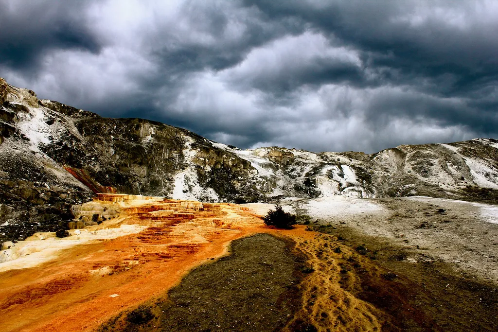
Mammoth Campground Comfort Station
~2 min drive
A worthwhile stop near Wyoming.

Beaver Ponds Trail
~2 min drive
5.3 mi · Moderate
Yellowstone River
~6 min drive
Scenic 5.5-mile riverside hike with steady elevation gain in the Yellowstone region.
Pine Creek
~11 min drive
Steady 8.5-mile climb through pine forest with 3,200 ft elevation gain.
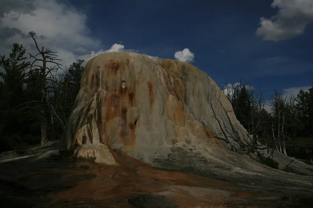
Liberty Cap
~3 min drive
<p>Liberty Cap is 37 feet (11 m) tall. It was created by a hot spring that was active in one location for a long time. Its internal pressure was sufficient to raise the water to a great height, allowing mineral deposits to build slowly and continuously for perhaps hundreds of…

Osprey Falls Trail
~4 min drive
7.8 mi · Moderate
Maiden Falls
~10 min drive
Easy waterfall hike with modest elevation gain near Maiden Falls, Montana.
Low Specimen
~11 min drive
23-mile backcountry trek with steady elevation gain through remote Montana wilderness.
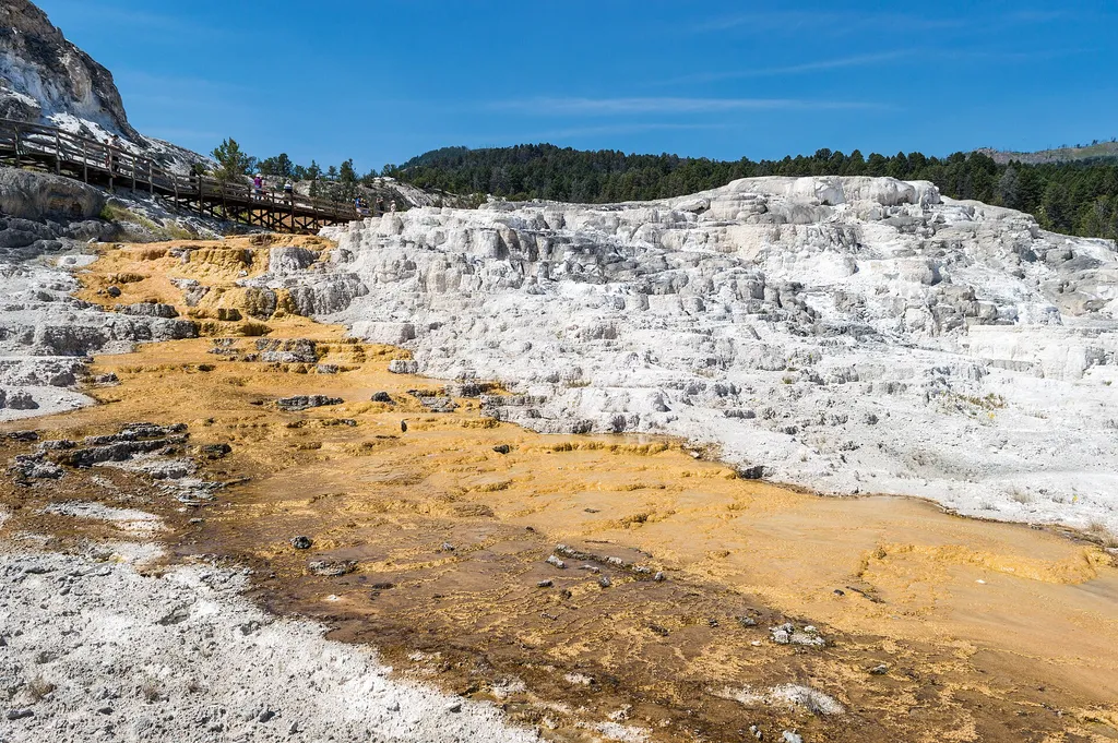
Minerva Terrace
~3 min drive
<p>Activity shifts dramatically around this terrace, named for the Roman goddess of artists and sculptors.</p> <p>The cascades of travertine beside the boardwalks were formed in the 1990s. Some years, they are dry.</p> <p>In dry areas, you can clearly see the many layers and t…
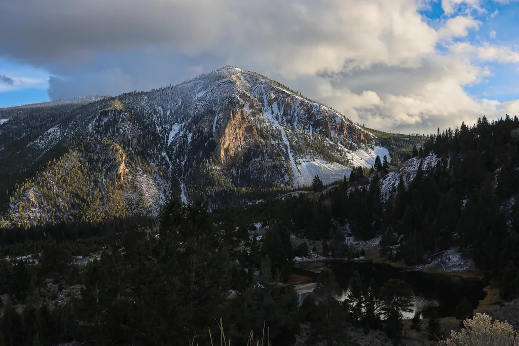
Bunsen Peak Overlook
~5 min drive
<p>Bunsen Peak prominently sits south of Mammoth Hot Springs. From this trailhead, you can embark on the following trails:</p> <ul> <li>Bunsen Peak Trail</li> <li>Bunsen Peak Road Trail</li> <li>Osprey Falls Trail</li> </ul> <p>Parking is limited. Winter trailhead access requi…
