Boco Creek
- 2.9 mi
- round trip
- 1,515 ft
- climb
- 10,374 ft
- high point
- Out and back
- route
Is Boco Creek open right now?
No closures listed
The Forest Service lists no closures for Bridger-Teton National Forest.
As of · Source: USFS · Bridger-Teton National Forest. Agencies don't list every closure — check before you go.
Boco Creek is a 2.9-mile out-and-back hike in Wyoming's Bridger-Teton National Forest, within the Greys River Ranger District. The trail rises from about 8,857 feet to 10,374 feet, a gain of 1,515 feet, and is rated moderate. The Forest Service manages the land, and the route is natural-surface. Bicycles and horses are allowed, so the trail works for a range of visitors. The hike is open from May through October. Middle Piney Lake Campground and La Barge Guard Station are both within about 5 miles for overnight stays, and the Greys River offers paddling nearby.
Local outfitters
- Yellowstone Trail RV Park44 mi away
- Greys River Cove45 mi away
Not on Roamze yet. Their page has how to reach them.
- Old Wyoming Peak TrailHiking1.1 mi
- Wyoming Peak TrailHiking1.2 mi
- East ForkHiking1.7 mi
- Wyoming PeakHiking2.2 mi
- Middle Piney Lake CampgroundCamping4.4 mi
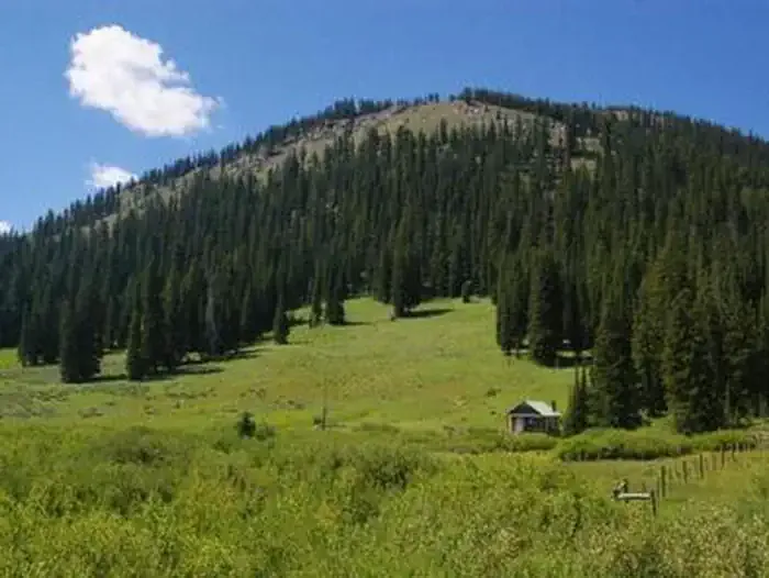 La Barge Guard StationCampingPhoto: Recreation.gov (RIDB) / public domain4.8 mi
- Greys RiverCanoeing4.9 mi
- Sacajawea CampgroundCamping6.4 mi
Source: Roamze catalog (indexable pages within 10 miles, PostGIS distance)
- Old Wyoming Peak TrailHiking · ~2 min drive
- Wyoming Peak TrailHiking · ~2 min drive
- Middle Fork Fish CreekHiking · ~5 min drive
- Fish CreekHiking · ~6 min drive
- Wyoming PeakHiking · ~4 min drive
- Way Trail #079Hiking · ~15 min drive
- Middle PineyHiking · ~5 min drive
- North Fork South PineyHiking · ~7 min drive
- Mink CreekHiking · ~4 min drive
- North Fork Fish CreekHiking · ~6 min drive
