Old Wyoming Peak Trail
- 0.8 mi
- round trip
- 747 ft
- climb
- 9,150 ft
- high point
- Out and back
- route
Is Old Wyoming Peak Trail open right now?
No closures listed
The Forest Service lists no closures for Bridger-Teton National Forest.
As of · Source: USFS · Bridger-Teton National Forest. Agencies don't list every closure — check before you go.
Old Wyoming Peak Trail is an easy out-and-back hike in the Greys River Ranger District of Bridger-Teton National Forest in Wyoming. The trail is short, about 1.5 miles round trip, and climbs from 8,780 feet to 9,150 feet, with the steepest stretch at about 0.58 miles in from the trailhead. The climb is front-loaded, with the most elevation gain coming early on. The total round-trip gain is 747 feet. The trail is rated easy, and the trip can be done in about an hour. The Wyoming Peak Trail lies about 0.4 miles away, and Boco Creek and Mink Creek are each within about 2 miles. For an overnight stay, Middle Piney Lake Campground is about 4.5 miles away.
Local outfitters
- Yellowstone Trail RV Park43 mi away
- Greys River Cove44 mi away
Not on Roamze yet. Their page has how to reach them.
- Wyoming Peak TrailHiking0.4 mi
- Boco CreekHiking1.1 mi
- Mink CreekHiking1.7 mi
- Wyoming PeakHiking1.7 mi
- Greys RiverCanoeing3.9 mi
- Middle Piney Lake CampgroundCamping4.5 mi
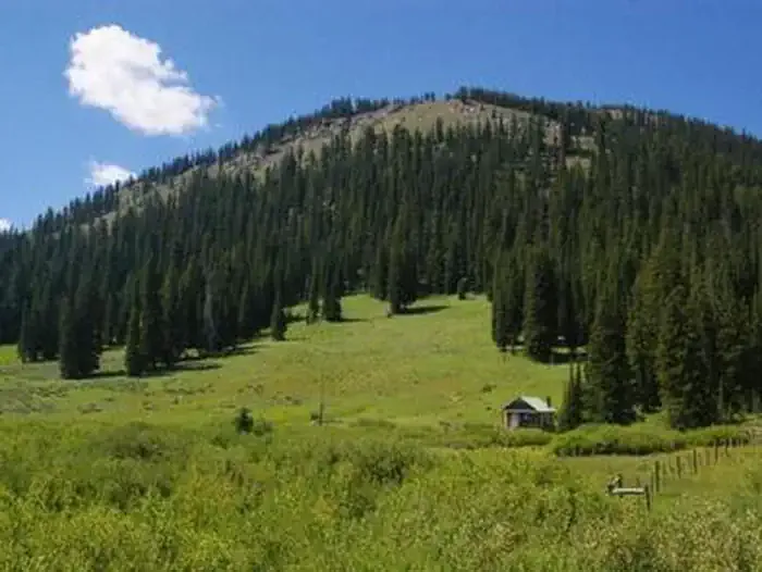 La Barge Guard StationCampingPhoto: Recreation.gov (RIDB) / public domain5.4 mi
- Cazier CabinCamping6.1 mi
Source: Roamze catalog (indexable pages within 10 miles, PostGIS distance)
- Wyoming Peak TrailHiking · Next door
- Boco CreekHiking · ~2 min drive
- Mink CreekHiking · ~3 min drive
- Middle PineyHiking · ~6 min drive
- Way Trail #079Hiking · ~13 min drive
- East ForkHiking · ~4 min drive
- Wyoming PeakHiking · ~3 min drive
- Way TrailHiking · ~6 min drive
- Upper Mink CreekHiking · ~6 min drive
- Way TrailHiking · ~5 min drive
Map and trail data © OpenStreetMap contributors
