Loading trail…

Free — you'll pick up right here.
Save this plan
Sign up to save your own editable copy — you'll pick up right here.
West Virginia
1.5 mi
Distance
482 ft
Gain
44 min
Time
No conditions check on file for this trail yet — always verify current conditions before you go.
Why you'll love it
Old Pond Trail
AI-suggested draft · review before you go
No permit or access details on file for this trail — check with the local land manager before you go.
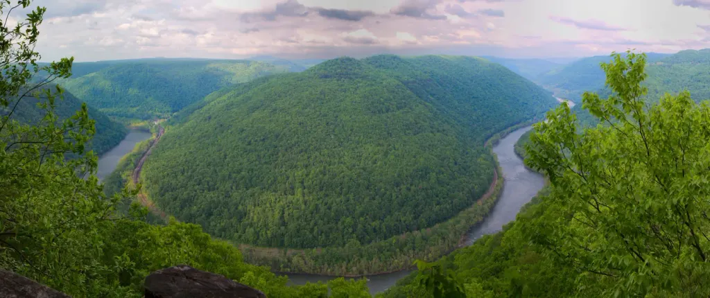
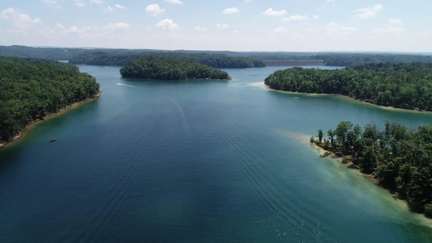
Old Pond Trail is a short point-to-point hike in West Virginia that offers an accessible woodland walk suitable for families and casual hikers. The trail winds through forest terrain with the centerpiece being a scenic pond that provides opportunities for wildlife observation and peaceful nature appreciation. This modest distance makes it an ideal choice for a quick outdoor outing or as part of a larger hiking itinerary.
Southside Trail
~8 min drive
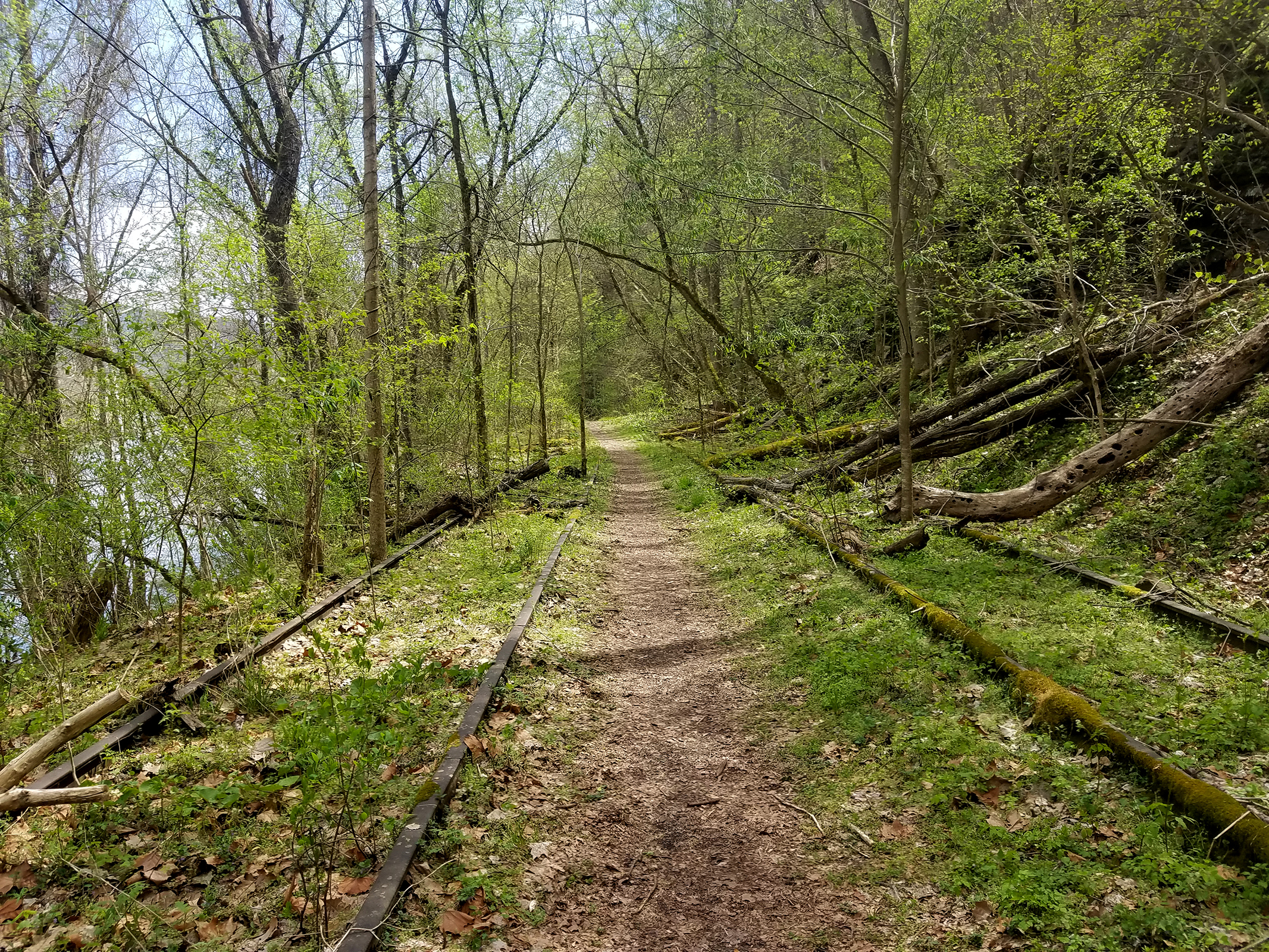
<p><em>Labeled (2) on the Cunard, Thurmond and Stone Cliff Area Trails map</em></p> <h4>Length</h4> <p>7.0 miles/11.27 km (One-way)</p> <h4>Difficulty</h4> <p>Easy</p> <h4>Trail type</h4> <p>Hiking and biking</p> <h4>Trail Description</h4> <p>This easy seven mile riverside tra…
Tipple Trail
~12 min drive
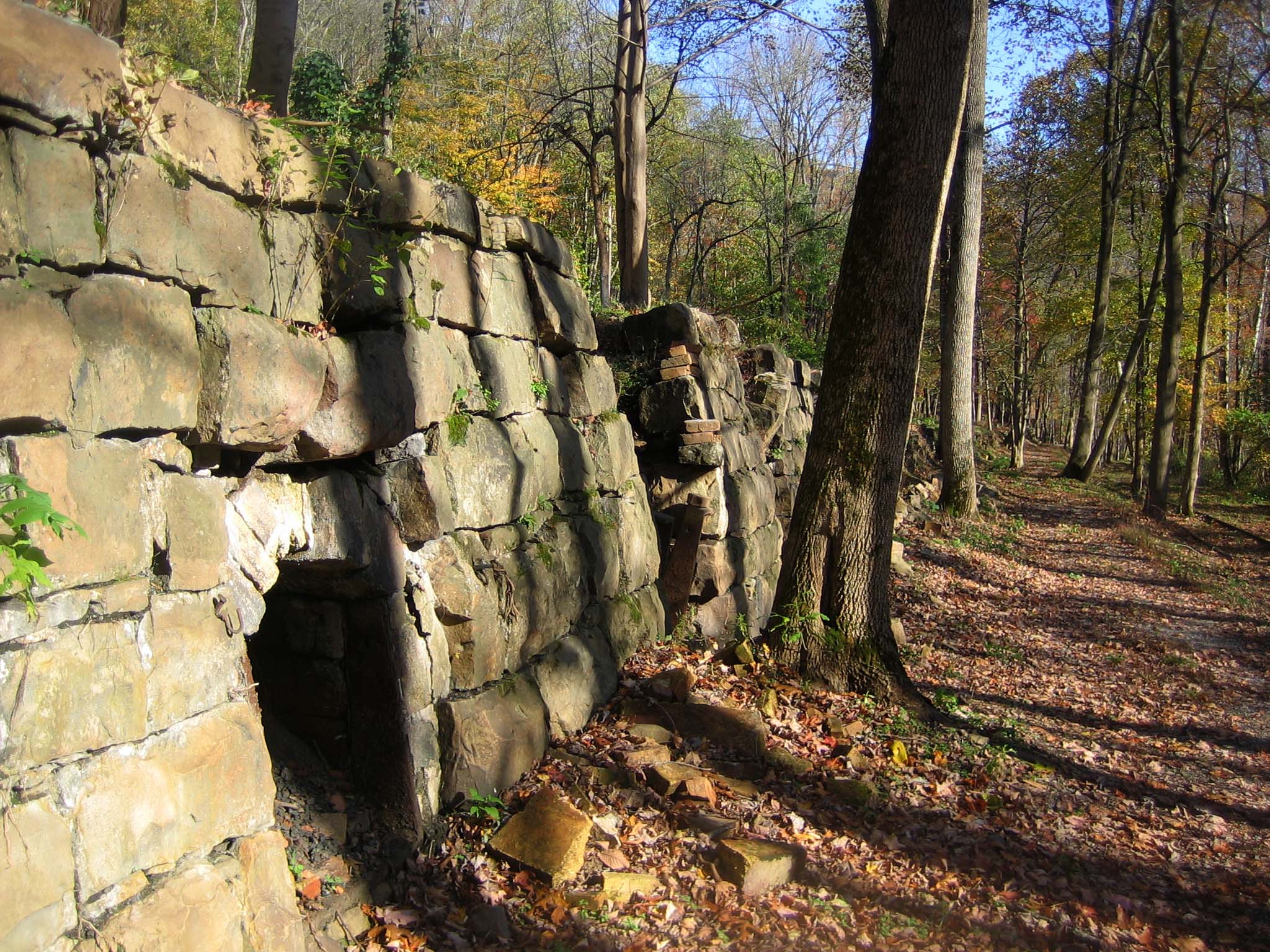
<p><em>Labeled (6) on the Nuttallburg Area Trails map</em></p> <h4>Length</h4> <p>0.6 miles/0.96 km (One-way)</p> <h4>Difficulty</h4> <p>Easy</p> <h4>Trail type</h4> <p>Hiking and biking</p> <h4>Trail Description</h4> <p>This trail reveals both the industrial and community sid…

Headhouse Trail
~12 min drive
<p><em>Labeled (1) on the Nuttallburg Area Trails map</em></p> <h4>Length</h4> <p>0.7 miles/1.13 km (One-way)</p> <h4>Difficulty</h4> <p>Moderate</p> <h4>Trail type</h4> <p>Hiking and biking</p> <h4>Trail Description</h4> <p>This gravel trail (administrative road) leads to the…

Kaymoor Miners Trail
~14 min drive
<p><em>Labeled (9) on the Fayetteville - Lansing Area Trails map</em></p> <h4><span style="color:#e74c3c;"><em>NPS crews are working to improve safety and sustainability of the upper section of the Kaymoor Miner's Trail. The upper portion of the trail will be closed from June…
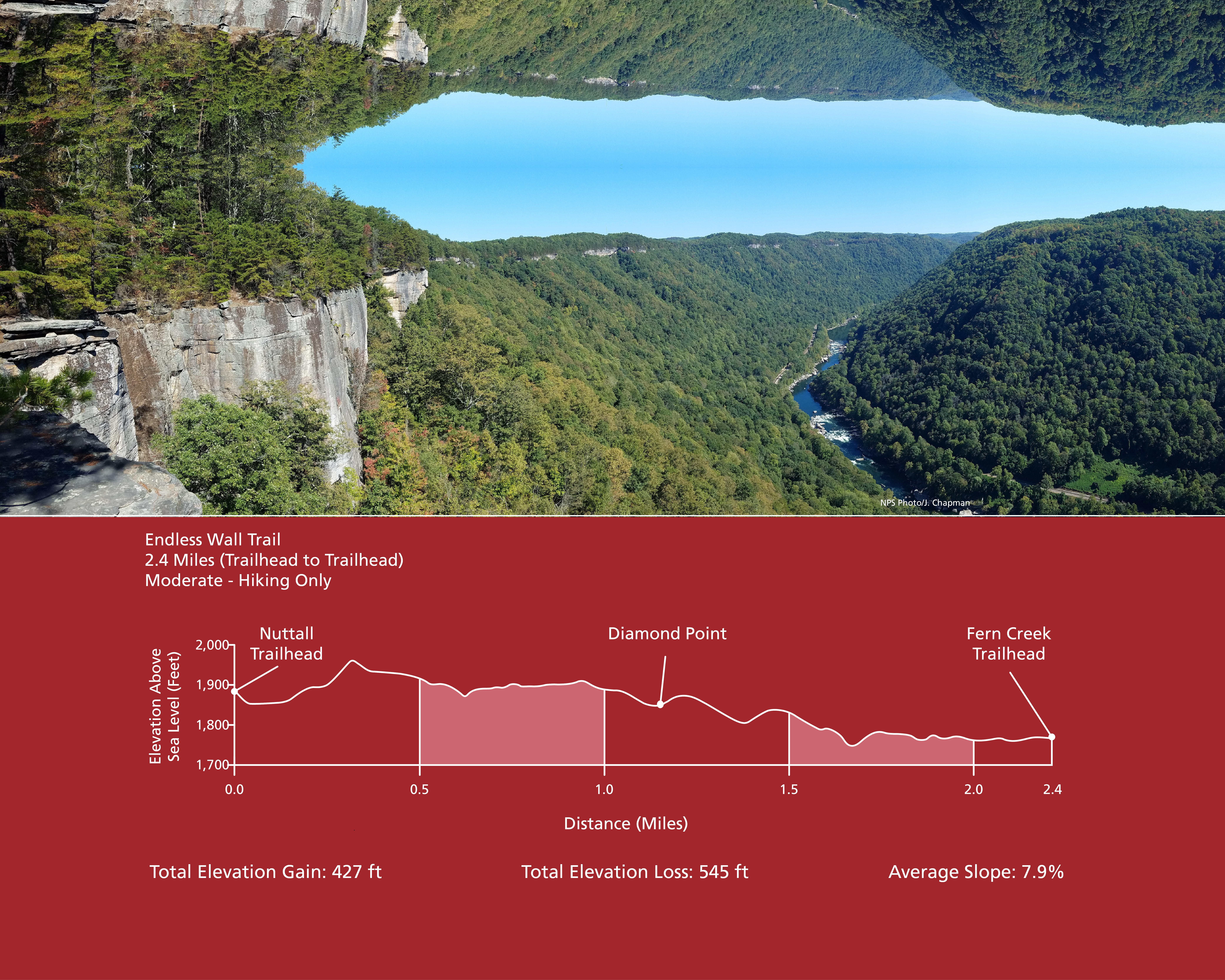
Endless Wall Trail
~14 min drive
<p><em>Labeled (3) on the Fayetteville - Lansing Area Trails map</em></p> <h4><strong>Length</strong></h4> <p>2.4 miles/3.86 km (One-way)</p> <h4><strong>Difficulty</strong></h4> <p>Easy to Moderate</p> <h4><strong>Trail type</strong></h4> <p>Hiking only</p> <h4>Total Elevatio…
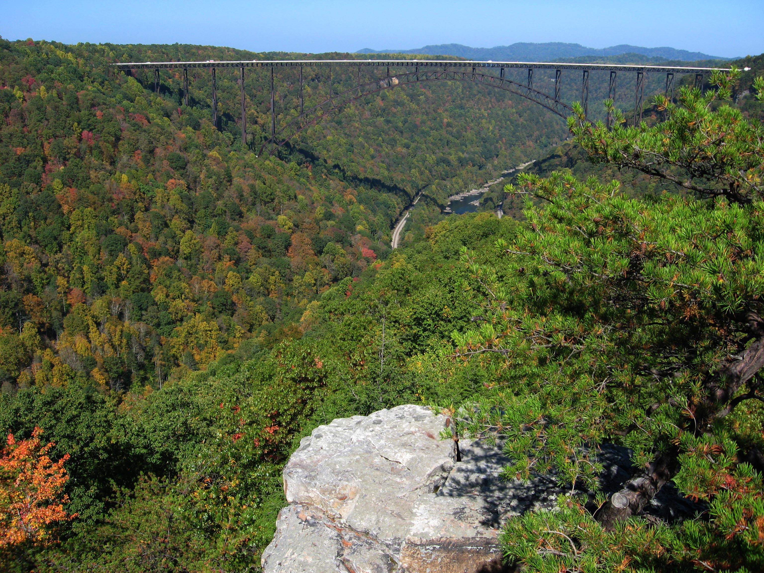
Long Point Trail
~14 min drive
<p><em>Labeled (12) on the Fayetteville - Lansing Area Trails map</em></p> <h4><strong>Length</strong></h4> <p>1.6 miles/1.29 km (One-way)</p> <h4><strong>Difficulty</strong></h4> <p>Moderate</p> <h4><strong>Trail type</strong></h4> <p>Hiking and biking </p> <h4>Trail Descript…
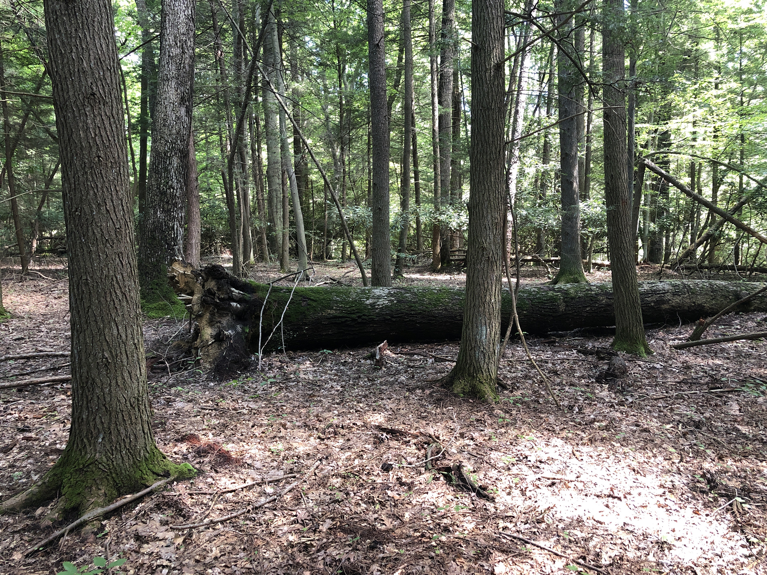
Burnwood Trail Stop 8: Decomposition
~17 min drive
<p><strong>Old-Growth Forest Hike Stop 8 - Decomposition</strong></p> <p>There are many different components other than just big, old trees that make up an old-growth forest. Large fallen trees on the forest floor, also called coarse woody debris, are a key feature researchers…
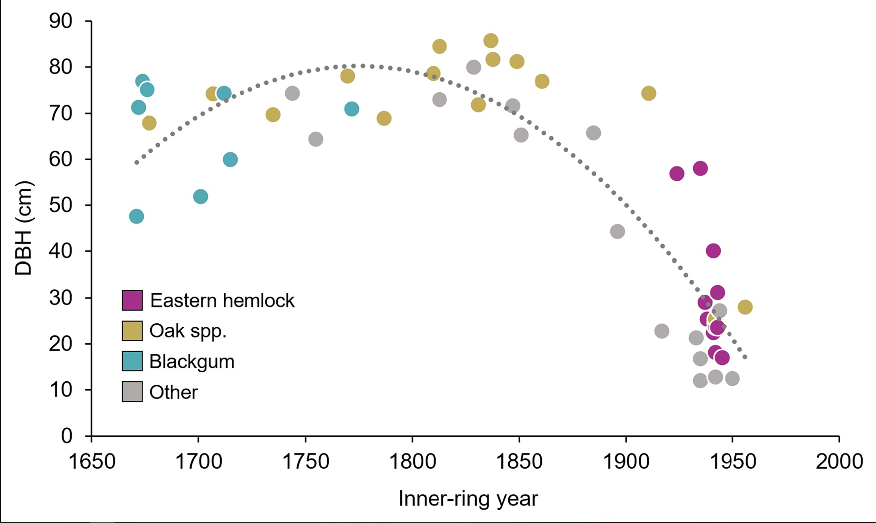
Burnwood Trail Stop 7: A Forest Giant
~17 min drive
<p><strong>Old-Growth Forest Hike Stop 7 - A Forest Giant</strong></p> <p>This American beech is the largest tree by diameter and volume along the trail. Unfortunately this tree couldn’t be dated due to being hollow, but despite its size it may not be as old as it appears. Som…
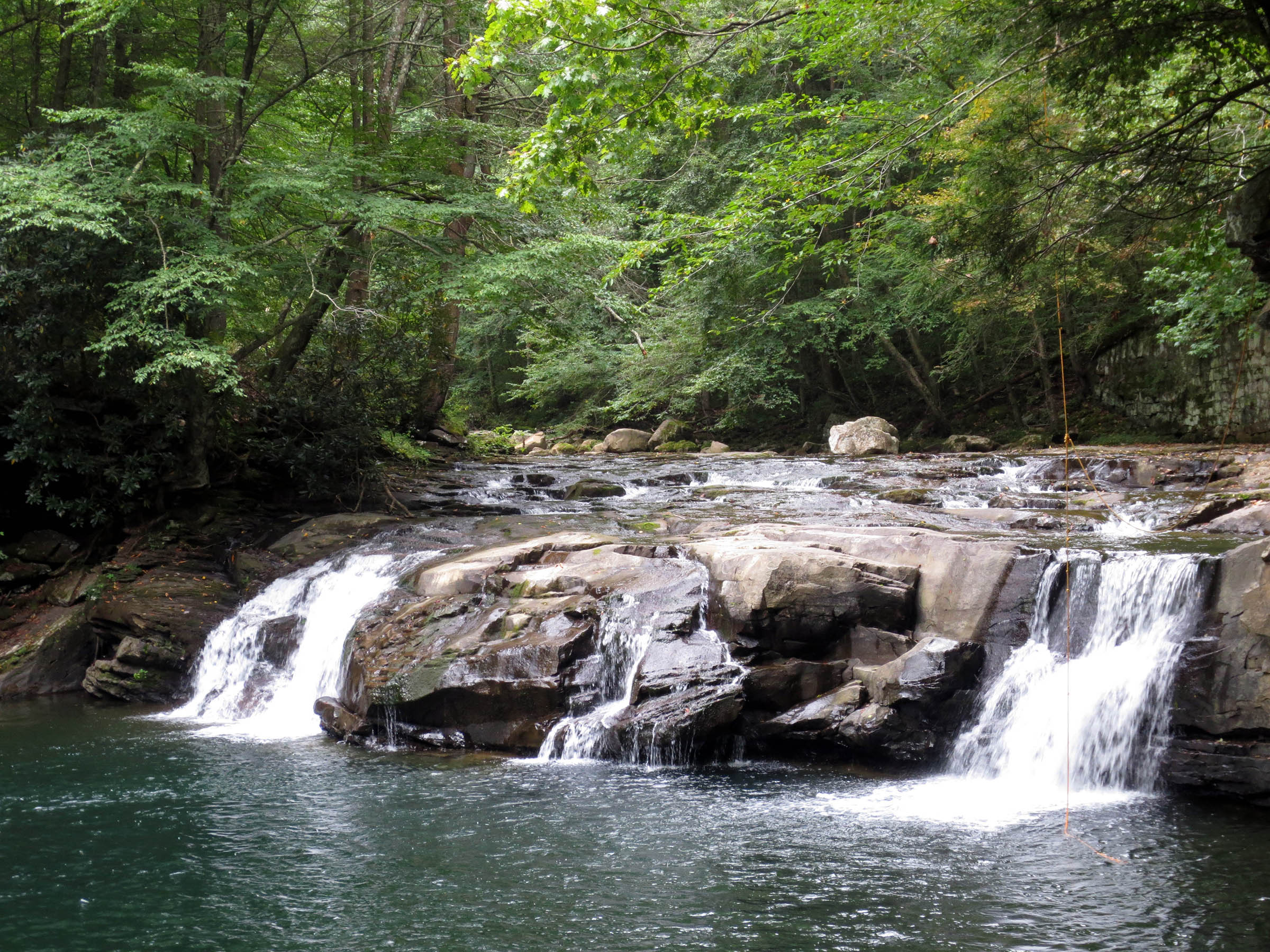
Glade Creek Trail
~20 min drive
<p>Labeled (1) on the Glade Creek Trails map</p> <h4><strong>Length</strong></h4> <p>5.6 miles/9.01 km (One-way)</p> <h4><strong>Difficulty</strong></h4> <p>Moderate</p> <h4><strong>Trail type</strong></h4> <p>Hiking and biking</p> <h4><br /> Trail Description</h4> <p>This 5.6…
Skyline Trail
~0 min drive
Scenic point-to-point ridge trail with expansive West Virginia views.