Stone Cliff Campground
Campground
Campground · < 0.1 mi from the trail
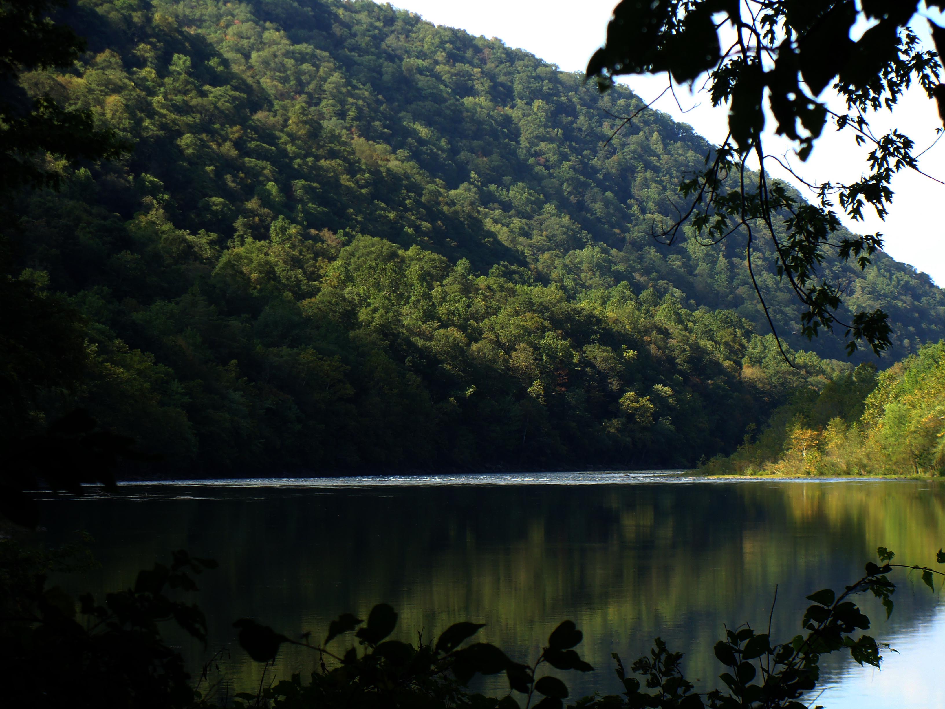 Photo: NPS/Dave Bieri
No closures listed
The National Park Service lists no closures for New River Gorge National Park and Preserve.
As of · Source: NPS · New River Gorge National Park and Preserve. Agencies don't list every closure — check before you go.
Labeled (6) on the Cunard, Thurmond and Stone Cliff Area Trails map Length 2.7 miles/4.35 km (One-way) Difficulty Easy to Moderate Trail type Hiking and biking Trail Description This moderate 2.7 mile trail follows an old road along the banks of the New River. Great views and easy access to the river are available along this trail. The endpoint of the trail leads to old-growth forest. Industry in New River Gorge cleared most forests in the area, but parts of Stone Cliff survived. Stands of trees from before industrialization are rare making this forest special. More information about old-growth forest is also available on the website on the Old-Growth Forests page. In April 2015, the Old-Growth Forest Network added Stone Cliff to its network forests. To reach the old-growth forest stand, visitors must hike off-trail up a steep slope from the endpoint of the trail. To reach the trailhead From U.S. Route 19 north of Beckley, take the Glen-Jean-Thurmond exit. Take an immediate left and go 0.5 miles to Glen Jean. Turn right and follow the signs for Thurmond (WV Route 25). Continue for 6 miles to a three-way intersection. Bear right and go 1.5 miles on this road. Take a right on the gravel road, just before the bridge crossing the New River. Continue past the boat launch to the parking area. The trail begins beside the picnic area.
Stone Cliff Campground
Campground
 If it rainsCoal town guy, CC BY-SA 3.0 · Wikimedia Commons
Places © OpenStreetMap contributors, Places © Overture Maps Foundation · Photos: Coal town guy, CC BY-SA 3.0 (commons)
More in Fayetteville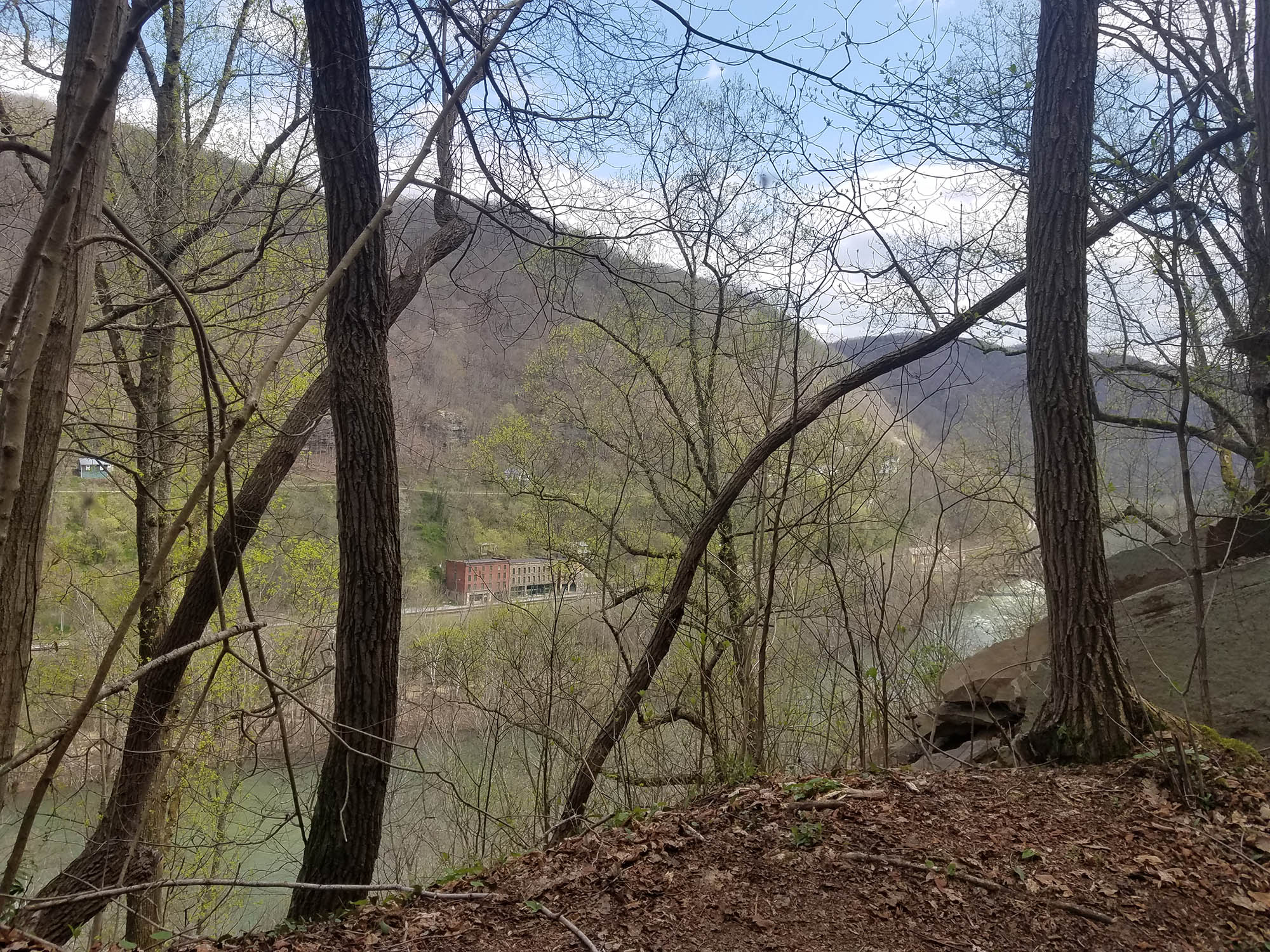 Rend TrailHikingPhoto: NPS/Dave Bieri1.5 mi
Source: Roamze catalog (indexable pages within 10 miles, PostGIS distance)
Best months: June–October. Best months have typical highs of 55–85 °F, lows of 30 °F or warmer (32 °F where the station doesn't record snow), at most one snowy day and no more than 12 wet days.
Jan
41° / 23°
15 wet
Feb
44° / 25°
13 wet
Mar
52° / 31°
14 wet
Apr
64° / 41°
14 wet
May
72° / 50°
14 wet
Jun
79° / 58°
12 wet
Jul
81° / 61°
12 wet
Aug
81° / 60°
11 wet
Sep
75° / 54°
9 wet
Oct
65° / 42°
10 wet
Nov
54° / 33°
11 wet
Dec
45° / 27°
14 wet
Typical high / low (°F) and days with rain or snow, 1991–2020. Measured at Oak Hill, WV, 5.5 mi away at 2,040 ft. The station sits about 800 ft higher than this place, so expect it a little warmer here. This station doesn't record snowfall. Source: NOAA NCEI U.S. Climate Normals 1991–2020.
