Brooklyn Campground
Campground
Campground · 1.1 mi from the trail
No closures listed
The National Park Service lists no closures for New River Gorge National Park and Preserve.
As of · Source: NPS · New River Gorge National Park and Preserve. Agencies don't list every closure — check before you go.
Cunard River Access is a boat launch in New River Gorge National Park and Preserve in West Virginia, about a mile from the town of Cunard. The National Park Service manages the land, and the launch gives paddlers and boaters a put-in on the Cunard River within the park. For comfortable weather, late spring and early fall are the best bets. Typical averages from a nearby weather station run from highs around 75°F in May to about 78°F in September, with July the warmest month at around 84°F. Several trails start close by. Brooklyn Mine Trail is about half a mile away and Kaymoor Trail about 0.7 miles. Southside Trail is roughly a mile off. Climbers can head to South Nuttall, about 3 miles away.
Brooklyn Campground
Campground
 If it rainsCoal town guy, CC BY-SA 3.0 · Wikimedia Commons
Places © OpenStreetMap contributors, Places © Overture Maps Foundation · Photos: Coal town guy, CC BY-SA 3.0 (commons)
More in Fayetteville Brooklyn Mine TrailHikingPhoto: NPS/Dave Bieri0.6 mi
 Kaymoor TrailHikingPhoto: NPS/Dave Bieri0.7 mi
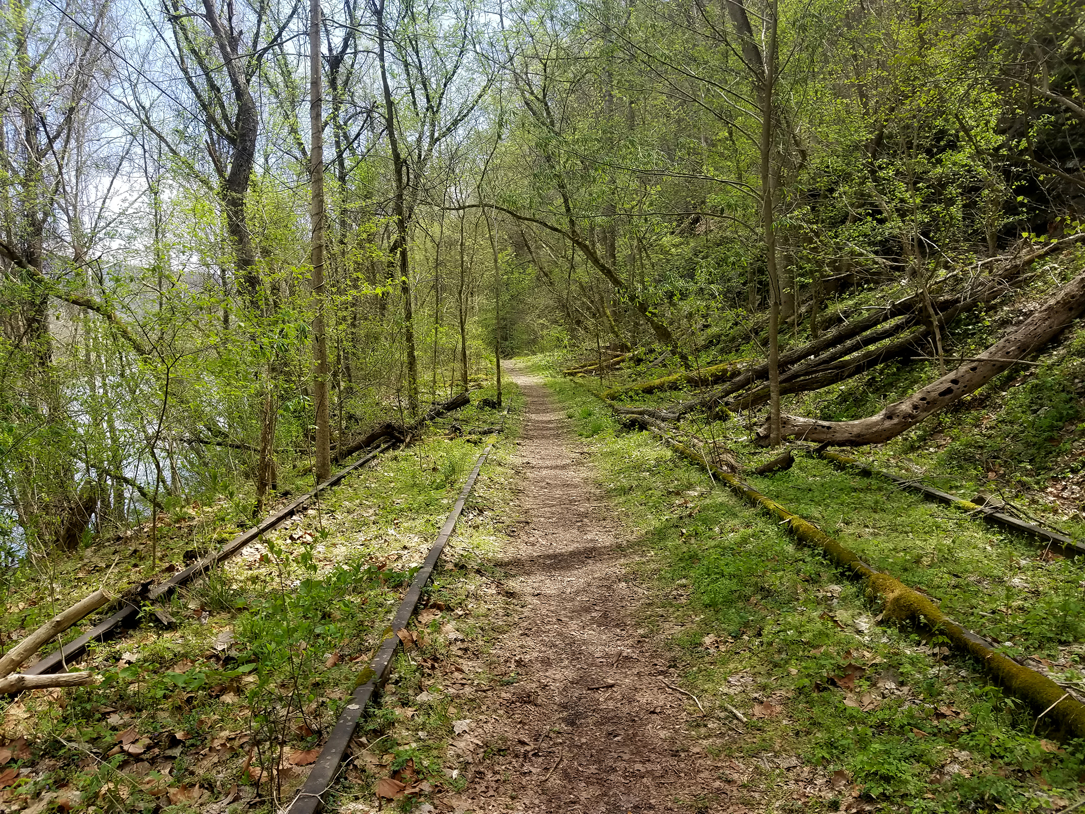 Southside TrailHikingPhoto: NPS/Dave Bieri1.1 mi
 South NuttallRock climbingPhoto: Ryan Stavely, CC BY-SA 2.0 (via Flickr)3.1 mi
Source: Roamze catalog (indexable pages within 10 miles, PostGIS distance)
 Paint CreekCanoeing · ~25 min drivePhoto: Tim Kiser (User:Malepheasant), CC BY-SA 3.0 (via Wikimedia Commons)
 Glade CreekCanoeing · ~31 min drivePhoto: Brian M. Powell (user Bitmapped on en.wikipedia), CC BY-SA 3.0 (via Wikimedia Commons)
 Greenbrier RiverCanoeing · ~56 min drivePhoto: Tim Kiser (w:User:Malepheasant), CC BY-SA 3.0 (via Wikimedia Commons)
Best months: April–November. Best months have typical highs of 55–85 °F, lows of 30 °F or warmer (32 °F where the station doesn't record snow), at most one snowy day and no more than 12 wet days.
Jan
42° / 23°
Feb
46° / 25°
Mar
55° / 31°
Apr
68° / 40°
May
75° / 49°
Jun
81° / 58°
Jul
84° / 62°
Aug
83° / 61°
Sep
78° / 54°
Oct
68° / 43°
Nov
56° / 33°
Dec
46° / 27°
Typical high / low (°F) and days with rain or snow, 1991–2020. Measured at Anstead Hawks Nest Sp, WV, 9.9 mi away at 1,296 ft. This station doesn't record snowfall. Source: NOAA NCEI U.S. Climate Normals 1991–2020.
Map and trail data © OpenStreetMap contributors
