American Alpine Club New River Gorge Campground
Campground
Campground · 0.3 mi from the trail
 Photo: Donnie Nunley, CC BY 3.0 (via Wikimedia Commons)
No closures listed
The National Park Service lists no closures for New River Gorge National Park and Preserve.
As of · Source: NPS · New River Gorge National Park and Preserve. Agencies don't list every closure — check before you go.
Burnwood Trail is a short, easy hike in New River Gorge National Park and Preserve in West Virginia, managed by the National Park Service. The route is about 0.8 miles long, with a one-way climb of 106 feet from a low point of 1,657 feet to a high of 1,741 feet. The trail is a point-to-point route rather than a loop, and the steepest stretch comes early on, at about 0.09 miles in, with a 7% grade. Late spring and early fall are the most comfortable times to go. Typical averages from a nearby weather station show May highs around 75°F and September highs around 78°F, while winter highs sit in the low 40s. Burnwood Trail Stop 8: Decomposition and the climbing areas Tuggin' Shack and Ronski Feint all lie about 0.1 mile away. The Hawks Nest Connector Trail is about 0.4 mile off.
American Alpine Club New River Gorge Campground
Campground
 If it rainsCoal town guy, CC BY-SA 3.0 · Wikimedia Commons
Places © OpenStreetMap contributors, Places © Overture Maps Foundation · Photos: Coal town guy, CC BY-SA 3.0 (commons)
More in Fayetteville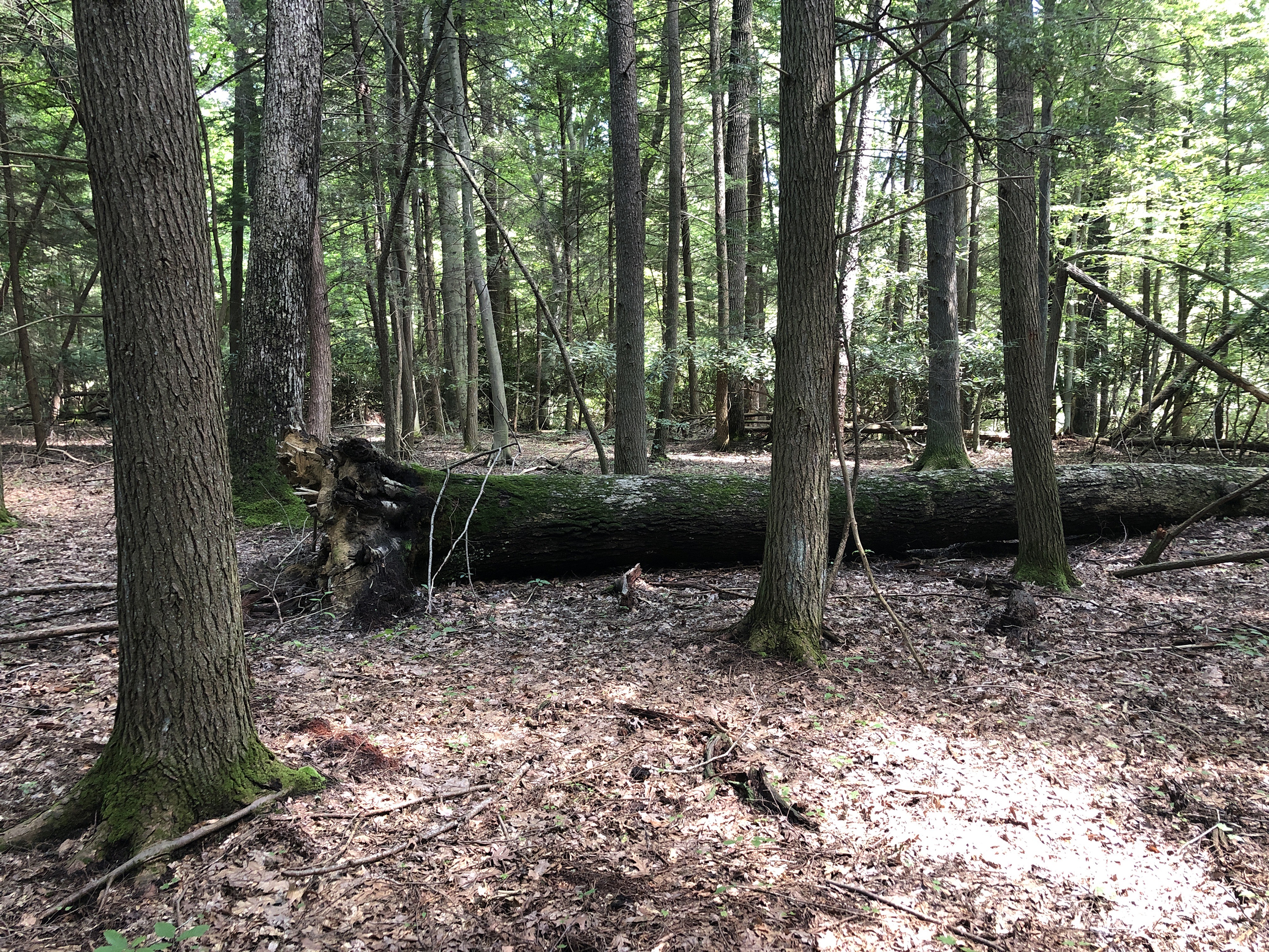 Burnwood Trail Stop 8: DecompositionHikingPhoto: Thomas Saladyga0.1 mi
 Tuggin' ShackRock climbingPhoto: sbennett1298, CC BY 2.0 (via Flickr)0.1 mi
 Ronski FeintRock climbingPhoto: Jarek Tuszyński, CC BY-SA 3.0 (via Wikimedia Commons)0.1 miInterp BouldersRock climbingPhoto: sbennett1298, CC BY 2.0 (via Flickr)0.1 miMoe AreaRock climbingPhoto: sbennett1298, CC BY 2.0 (via Flickr)0.1 miJunkyard Area TrailHikingPhoto: Donnie Nunley, CC BY 3.0 (via Wikimedia Commons)0.4 mi
Source: Roamze catalog (indexable pages within 10 miles, PostGIS distance)
Junkyard Area TrailHiking · Next doorPhoto: Donnie Nunley, CC BY 3.0 (via Wikimedia Commons) Town Park Cardiovascular Fitness TrailHiking · ~3 min drivePhoto: Idawriter, CC BY-SA 3.0 (via Wikimedia Commons)
Best months: April–November. Best months have typical highs of 55–85 °F, lows of 30 °F or warmer (32 °F where the station doesn't record snow), at most one snowy day and no more than 12 wet days.
Jan
42° / 23°
Feb
46° / 25°
Mar
55° / 31°
Apr
68° / 40°
May
75° / 49°
Jun
81° / 58°
Jul
84° / 62°
Aug
83° / 61°
Sep
78° / 54°
Oct
68° / 43°
Nov
56° / 33°
Dec
46° / 27°
Typical high / low (°F) and days with rain or snow, 1991–2020. Measured at Anstead Hawks Nest Sp, WV, 3.8 mi away at 1,296 ft. This station doesn't record snowfall. Source: NOAA NCEI U.S. Climate Normals 1991–2020.
Map and trail data © OpenStreetMap contributors
