Arrowhead Bike Farm Campground
Campground
Campground · 0.9 mi from the trail
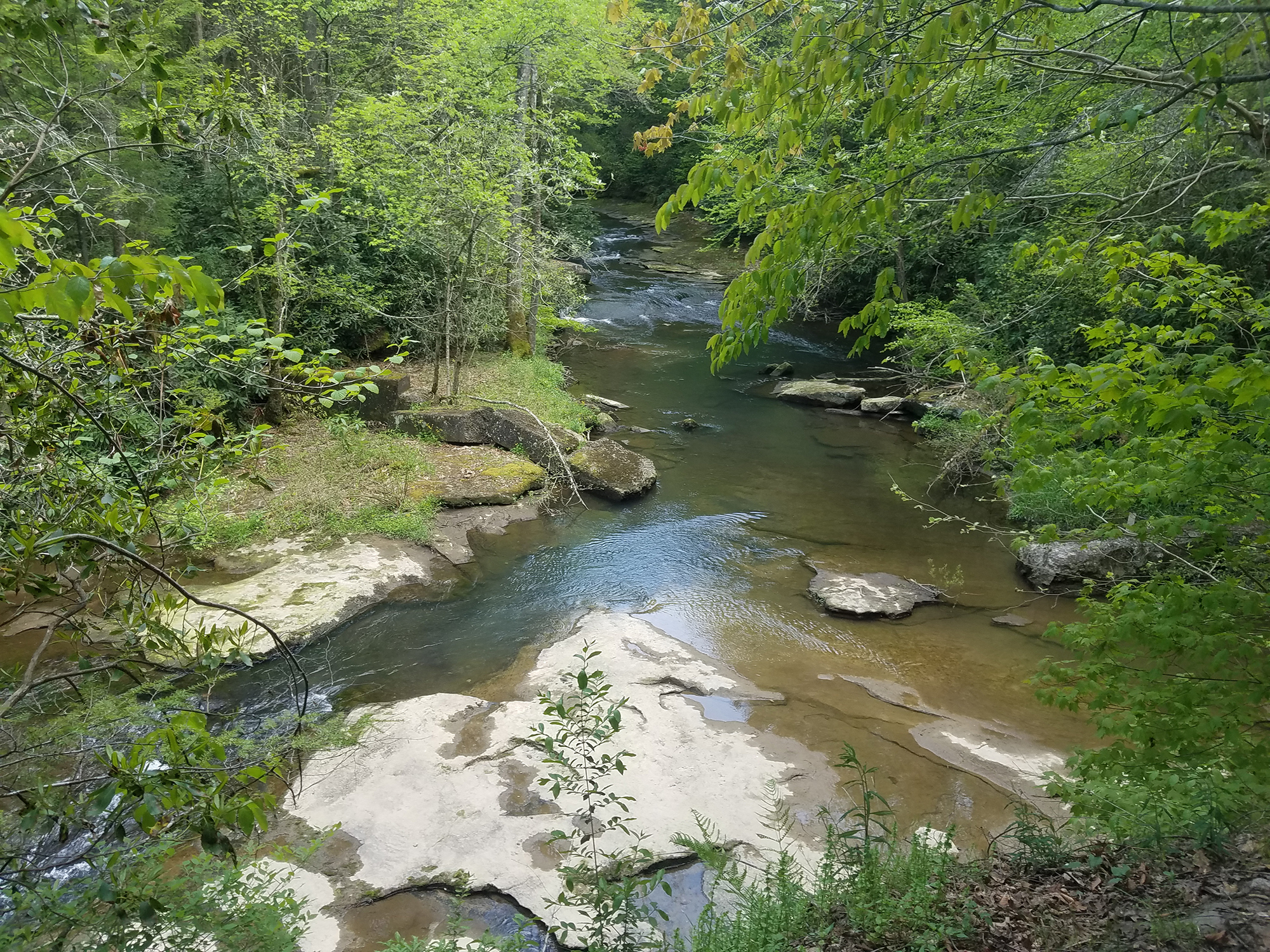 Photo: NPS/Dave Bieri
No closures listed
The National Park Service lists no closures for New River Gorge National Park and Preserve.
As of · Source: NPS · New River Gorge National Park and Preserve. Agencies don't list every closure — check before you go.
Labeled (5) on the Fayetteville - Lansing Area Trails map Length 3.96 miles/6.37 km (One-way) Difficulty Moderate to Strenuous Trail type Hiking and biking Trail Description This trail connects Fayette Station Road, the town of Fayetteville, and Kaymoor Top with hiking access to Long Point. Be prepared for a creek crossing and up and down terrain. Connections can be made to the following: Kaymoor Trail, Bridge Trail, Park Loop Trail, Timber Ridge Trail, Long Point Trail, Butcher Branch Trail, Kaymoor Miners Trail, and Craig Branch Trail. To reach the Wolf Creek Trailhead Turn off U.S. Route 19 onto Lansing-Edmond Road (Route 5), located just north of Canyon Rim Visitor Center. Follow signs for State Route 82, turning right onto Fayette Station Road, then fork to the left. Cross the New River on the Tunney Hunsaker Bridge, and continue for 1.2 miles to the small parking area at the trailhead. There are specific "No Parking" areas near the trailhead, please observe and obey the parking signs. NOTE There is VERY LIMITED parking at this trailhead. Please park directly in in front of the trailhead or past the trailhead, around the hairpin turn, in the pullouts on the right. DO NOT PARK on the left side of the road on the approach to the trailhead. Parking here is not allowed and prevents larger vehicles from making the hairpin turn and can cause traffic jams. To reach the Kaymoor Top Trailhead From U.S. Route 19, follow State Route 16 south through the town of Fayetteville. Take a left on Gatewood Road (park signs indicate Kaymoor and Cunard). Follow Gatewood Road 2.0 miles and turn left at the Kaymoor sign (Kaymoor No. 1 Road). Follow this road about one mile to the intersection; turn left. Parking is 50 yards on the right. This trail starts at the end of the parking area.
Arrowhead Bike Farm Campground
Campground
 If it rainsCoal town guy, CC BY-SA 3.0 · Wikimedia Commons
Places © OpenStreetMap contributors, Places © Overture Maps Foundation · Photos: Coal town guy, CC BY-SA 3.0 (commons)
More in Fayetteville Junkyard Area TrailHiking · ~4 min drivePhoto: Donnie Nunley, CC BY 3.0 (via Wikimedia Commons)
Best months: June–October. Best months have typical highs of 55–85 °F, lows of 30 °F or warmer (32 °F where the station doesn't record snow), at most one snowy day and no more than 12 wet days.
Jan
41° / 23°
15 wet
Feb
44° / 25°
13 wet
Mar
52° / 31°
14 wet
Apr
64° / 41°
14 wet
May
72° / 50°
14 wet
Jun
79° / 58°
12 wet
Jul
81° / 61°
12 wet
Aug
81° / 60°
11 wet
Sep
75° / 54°
9 wet
Oct
65° / 42°
10 wet
Nov
54° / 33°
11 wet
Dec
45° / 27°
14 wet
Typical high / low (°F) and days with rain or snow, 1991–2020. Measured at Oak Hill, WV, 6.8 mi away at 2,040 ft. This station doesn't record snowfall. Source: NOAA NCEI U.S. Climate Normals 1991–2020.

