Oklahoma campground
Campground
Campground · 2.7 mi from the trail
Alert in the area
The Forest Service lists 6 alerts for Gifford Pinchot National Forest.
Fire Restrictions
Agency alert covering Gifford Pinchot National Forest · USFS · Gifford Pinchot National Forest
Seasonal Road Closures
Agency alert covering Gifford Pinchot National Forest · USFS · Gifford Pinchot National Forest
Road Repairs & Road Closures in 2026
Agency alert covering Gifford Pinchot National Forest · USFS · Gifford Pinchot National Forest
Washout on Forest Road 93
Agency alert covering Gifford Pinchot National Forest · USFS · Gifford Pinchot National Forest
Upper State Route 504 closed at milepost 45.2 due to large slide
Agency alert covering Gifford Pinchot National Forest · USFS · Gifford Pinchot National Forest
As of · Source: USFS · Gifford Pinchot National Forest. Agencies don't list every closure — check before you go.
Monte Carlo is a summit of 4,055 feet in the Mt. Adams Ranger District of Gifford Pinchot National Forest in Washington, about 9 miles from the town of Trout Lake. Summer is the most comfortable time to visit. Typical averages from a nearby weather station at Snowden, which sits roughly 1,600 feet lower, show July and August highs around 79°F with lows near 49°F. That station's figures are not directly comparable to conditions on the summit, which sits higher and runs cooler. Oklahoma campground is about 3 miles away, and Bz Falls and Monte Cristo are both within 4 miles. The Little White Salmon River, about 5 miles off, offers canoeing.
Oklahoma campground
Campground
Mt. Adams Pizza
Restaurant
 If it rainsJmasterson, CC BY-SA 3.0 · Wikimedia Commons
Western Antique Aeroplane & Automobile Museum
Museum
Aviation and automobile museum in Oregon, United States
Places © OpenStreetMap contributors · Photos: Jmasterson, CC BY-SA 3.0 (commons)
More in Trout LakeDaily highs and lows, wind and the chance of precipitation at the summit and route start for the next 7 days, from the Open-Meteo model.
Elevation from USGS 3D Elevation Program terrain data (about 10 m resolution).
| Buck Creek Trail | Monte Carlo | |
|---|---|---|
| Climbing | About 5,431 ft | About 3,536 ft |
| Round trip | 20.4 mi | 11.0 mi |
| Difficulty | Expert | Hard |
| Terrain | Hike | Hike |
4,055 ft (1,236 m).
2: Buck Creek Trail and Monte Carlo.
Monte Carlo, about 11.0 mi round trip.
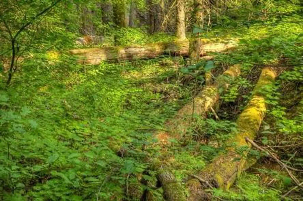 Oklahoma campgroundCampingPhoto: Recreation.gov (RIDB) / public domain2.7 mi
 Little White Salmon RiverCanoeingPhoto: William de Chastignier Ravenel, Public domain (via Wikimedia Commons)4.7 mi
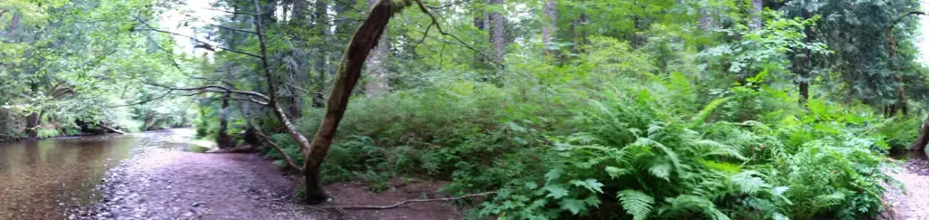 Moss Creek campgroundCampingPhoto: Recreation.gov (RIDB) / public domain6.1 mi
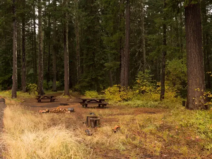 Atkisson Group campCampingPhoto: Recreation.gov (RIDB) / public domain6.5 mi
Source: Roamze catalog (indexable pages within 10 miles, PostGIS distance)
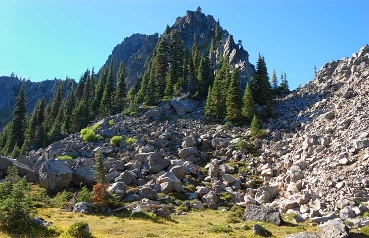 Lemei RockSummit · ~23 min drivePhoto: FizzyUnicorn, CC BY-SA 3.0 (via Wikimedia Commons)
 Mount DefianceSummit · ~29 min drivePhoto: Mehmet Emre Yavuz Meyavuz, CC BY-SA 3.0 (via Wikimedia Commons)
 Greenleaf PeakSummit · ~38 min drivePhoto: Walter Siegmund (talk), CC BY-SA 3.0 (via Wikimedia Commons)
 Mount AdamsSummit · ~40 min drivePhoto: USGS Photo by R. Iverson, USGS/CVO, Public domain (via Wikimedia Commons)
 Table MountainSummit · ~40 min drivePhoto: Walter Siegmund (talk), CC BY-SA 3.0 (via Wikimedia Commons)
Best months: April–October. Best months have typical highs of 55–85 °F, lows of 30 °F or warmer (32 °F where the station doesn't record snow), at most one snowy day and no more than 12 wet days.
Jan
38° / 25°
Feb
42° / 26°
Mar
48° / 30°
Apr
55° / 35°
May
63° / 40°
Jun
68° / 44°
Jul
79° / 49°
Aug
79° / 49°
Sep
72° / 45°
Oct
58° / 37°
Nov
45° / 31°
Dec
36° / 25°
Typical high / low (°F) and days with rain or snow, 1991–2020. Measured at Snowden, WA, 11.2 mi away at 2,415 ft. The station sits about 1,600 ft lower than this place, so expect it a little cooler here. This station doesn't record snowfall. Source: NOAA NCEI U.S. Climate Normals 1991–2020.
