Atkisson Group camp
Campground
Campground · 0.6 mi from the trail
Lava Bridge is a natural arch in Klickitat County, Washington, sitting at about 2,580 feet. The nearest town is Trout Lake, about 4 miles away. Summer is the most comfortable time to visit. Typical averages from a nearby weather station at Mt Adams show July and August highs around 84°F with lows near 50°F, while winter highs stay in the upper 30s. Several other spots lie close by. Atkisson Group Camp is about half a mile away, and the Ice Caves XC Loop and Cave Creek are each roughly a mile off. Peterson Ridge is about 2 miles away.
Atkisson Group camp
Campground
Trout Lake Hall
Restaurant
 If it rainsJmasterson, CC BY-SA 3.0 · Wikimedia Commons
Western Antique Aeroplane & Automobile Museum
Museum
Aviation and automobile museum in Oregon, United States
Places © OpenStreetMap contributors · Photos: Jmasterson, CC BY-SA 3.0 (commons)
More in Trout LakeElevation from USGS 3D Elevation Program terrain data (about 10 m resolution).
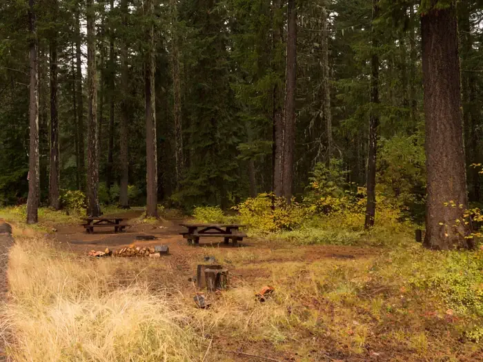 Atkisson Group campCampingPhoto: Recreation.gov (RIDB) / public domain0.6 mi
Source: Roamze catalog (indexable pages within 10 miles, PostGIS distance)
Best months: April–October. Best months have typical highs of 55–85 °F, lows of 30 °F or warmer (32 °F where the station doesn't record snow), at most one snowy day and no more than 12 wet days.
Jan
39° / 26°
Feb
43° / 27°
Mar
49° / 29°
Apr
58° / 33°
May
68° / 40°
Jun
74° / 45°
Jul
84° / 50°
Aug
84° / 49°
Sep
75° / 42°
Oct
60° / 35°
Nov
45° / 30°
Dec
37° / 25°
Typical high / low (°F) and days with rain or snow, 1991–2020. Measured at Mt Adams Rs, WA, 3.8 mi away at 1,950 ft. The station sits about 600 ft lower than this place, so expect it a little cooler here. This station doesn't record snowfall. Source: NOAA NCEI U.S. Climate Normals 1991–2020.

