North Table Mountain Trail
 Photo: Ryan Snyder, CC BY 2.0 (via Wikimedia Commons)
- 0.9 mi
- round trip
- 732 ft
- climb
- 3,342 ft
- high point
- Out and back
- route
Is North Table Mountain Trail open right now?
Closure in the area
There's a closure order in Columbia River Gorge National Scenic Area. It doesn't name North Table Mountain Trail, so check the source for the area it covers.
Eagle Creek Area and Trail Closure
Agency closure covering Columbia River Gorge National Scenic Area · Order 06-22-01-26-04 · USFS · Columbia River Gorge National Scenic Area
Eagle Creek Fire Area Closure - CRGNSA and Mt. Hood
Agency alert covering Columbia River Gorge National Scenic Area · Order 06-22-01-26-04 · USFS · Columbia River Gorge National Scenic Area
As of · Source: USFS · Columbia River Gorge National Scenic Area. Agencies don't list every closure — check before you go.
North Table Mountain Trail is a 1.8-mile out-and-back hike in Washington's Columbia River Gorge National Scenic Area, within the Table Mountain/Greenleaf Peak Natural Resources Conservation Area. The State Department of Natural Resources manages the land, and the trail starts at about 3,342 feet, rising to a high point of 3,342 feet before descending back to the trailhead. That makes the climb back-loaded, with the steepest stretch at about 0.7 miles in, where the grade reaches 19 percent. The total elevation gain is 732 feet, and the round trip covers about 1.8 miles. The trail is rated moderate, and the trip takes about an hour. The closest neighbor is the Table Mountain Trail, just 0.1 mile away, and the West Table Mountain Trail is about 0.8 mile off. Paddlers can head to Hamilton Creek, about 1.3 miles away, and climbers will find The Dome roughly 2.4 miles from the trail.
Local outfitters
- Bike the Gorge5 mi away
- Horseback Riding Adventures Oregon33 mi away
Not on Roamze yet. Their page has how to reach them.
Conditions and forecast on Table Mountain
Daily highs and lows, wind and the chance of precipitation at the summit and route start for the next 7 days, from the Open-Meteo model.
- Table Mountain TrailHikingPhoto: Ryan Snyder, CC BY 2.0 (via Wikimedia Commons)0.1 mi
 West Table Mountain TrailHikingPhoto: Ryan Snyder, CC BY 2.0 (via Wikimedia Commons)0.8 mi
- Hamilton CreekCanoeing1.3 mi
- The DomeRock climbing2.4 mi
- Bridge of the Gods BouldersRock climbing2.7 mi
- Rock CreekCanoeing3.8 mi
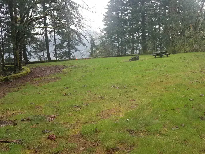 Eagle Creek Overlook Grp SiteCampingPhoto: Recreation.gov (RIDB) / public domain4.3 mi
- Eagle Creek OverlookCamping4.3 mi
Source: Roamze catalog (indexable pages within 10 miles, PostGIS distance)
- Table Mountain TrailHiking · Next doorPhoto: Ryan Snyder, CC BY 2.0 (via Wikimedia Commons)
- West Table Mountain TrailHiking · ~1 min drivePhoto: Ryan Snyder, CC BY 2.0 (via Wikimedia Commons)
 Hamilton Mountain TrailHiking · ~6 min drivePhoto: Robert Ashworth from Bellingham, WA., USA, CC BY 2.0 (via Wikimedia Commons)
 Pct - Washington Section HHiking · ~8 min drivePhoto: inkknife_2000 (7.5 million views +), CC BY-SA 2.0 (via Wikimedia Commons)
 Don's Cutoff TrailHiking · ~5 min drivePhoto: Robert Ashworth from Bellingham, WA., USA, CC BY 2.0 (via Wikimedia Commons)
 Equestrian TrailHiking · ~5 min drivePhoto: Robert Ashworth from Bellingham, WA., USA, CC BY 2.0 (via Wikimedia Commons)
- West Hardy Ridge TrailHiking · ~7 min drivePhoto: Robert Ashworth from Bellingham, WA., USA, CC BY 2.0 (via Wikimedia Commons)
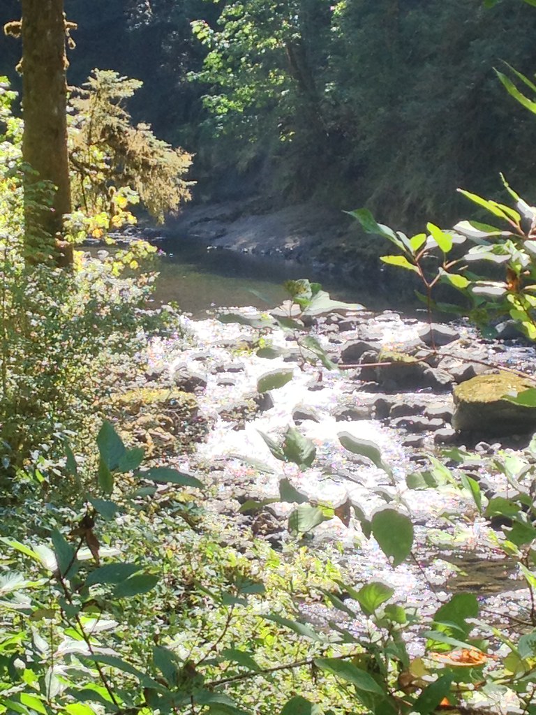 Ruckel CreekHiking · ~8 min drivePhoto: Fotos_Ohio, CC BY 2.0 (via Flickr)
- Loop TrailHiking · ~7 min drivePhoto: Robert Ashworth from Bellingham, WA., USA, CC BY 2.0 (via Wikimedia Commons)
- Hardy Creek TrailHiking · ~5 min drivePhoto: Robert Ashworth from Bellingham, WA., USA, CC BY 2.0 (via Wikimedia Commons)

Route details
- Distance
- 0.9 mi round trip
- Climbing
- About 732 ft
- Summit
- 3,416 ft
- Difficulty
- Moderate
- Time
- About 0.5 hours
Other routes up Table Mountain
Questions about this route
How long is the North Table Mountain Trail on Table Mountain?
About 0.9 mi round trip.
How much elevation gain is on the North Table Mountain Trail?
About 732 ft of climbing round trip.
How hard is the North Table Mountain Trail?
It is rated moderate.
How long does the North Table Mountain Trail take?
About 0.5 hours round trip.
How many routes go up Table Mountain?
4: Table Mountain Trail, West Table Mountain Trail, North Table Mountain Trail and Heartbreak Ridge Trail.
Map and trail data © OpenStreetMap contributors
