East Sunny Side
- 1.1 mi
- round trip
- 645 ft
- climb
- Out and back
- route
East Sunny Side is a short, easy mountain biking route in Washington, managed by the State Department of Natural Resources. It is an out-and-back ride of about 2.2 miles, with a low point of 2,111 feet and a high of 2,289 feet. The climb is gentle, with a total elevation gain of 162 feet, and the steepest stretch comes at about 0.6 miles in, where the grade reaches 12 percent. The route sits among a cluster of mountain biking spots. West Sunny Side is just 0.1 mile away, and Shire and On Ramp are both within half a mile. For a change of pace, the Elwha River climbing area lies about 4.8 miles off.
Local outfitters
- Elwha RV Park5 mi away
- Salish Trails Campground8 mi away
Not on Roamze yet. Their page has how to reach them.
- West Sunny SideMountain biking0.1 mi
- ShireMountain biking0.3 mi
- On RampMountain biking0.4 mi
- Elwha RiverRock climbing4.8 mi
- Waka BeachRock climbing4.9 mi
- The ElwhallRock climbing4.9 mi
 Morse CreekCanoeingPhoto: Evvekk, CC0 (via Wikimedia Commons)5.3 mi
- Siebert CreekCanoeing8.8 mi
Source: Roamze catalog (indexable pages within 10 miles, PostGIS distance)
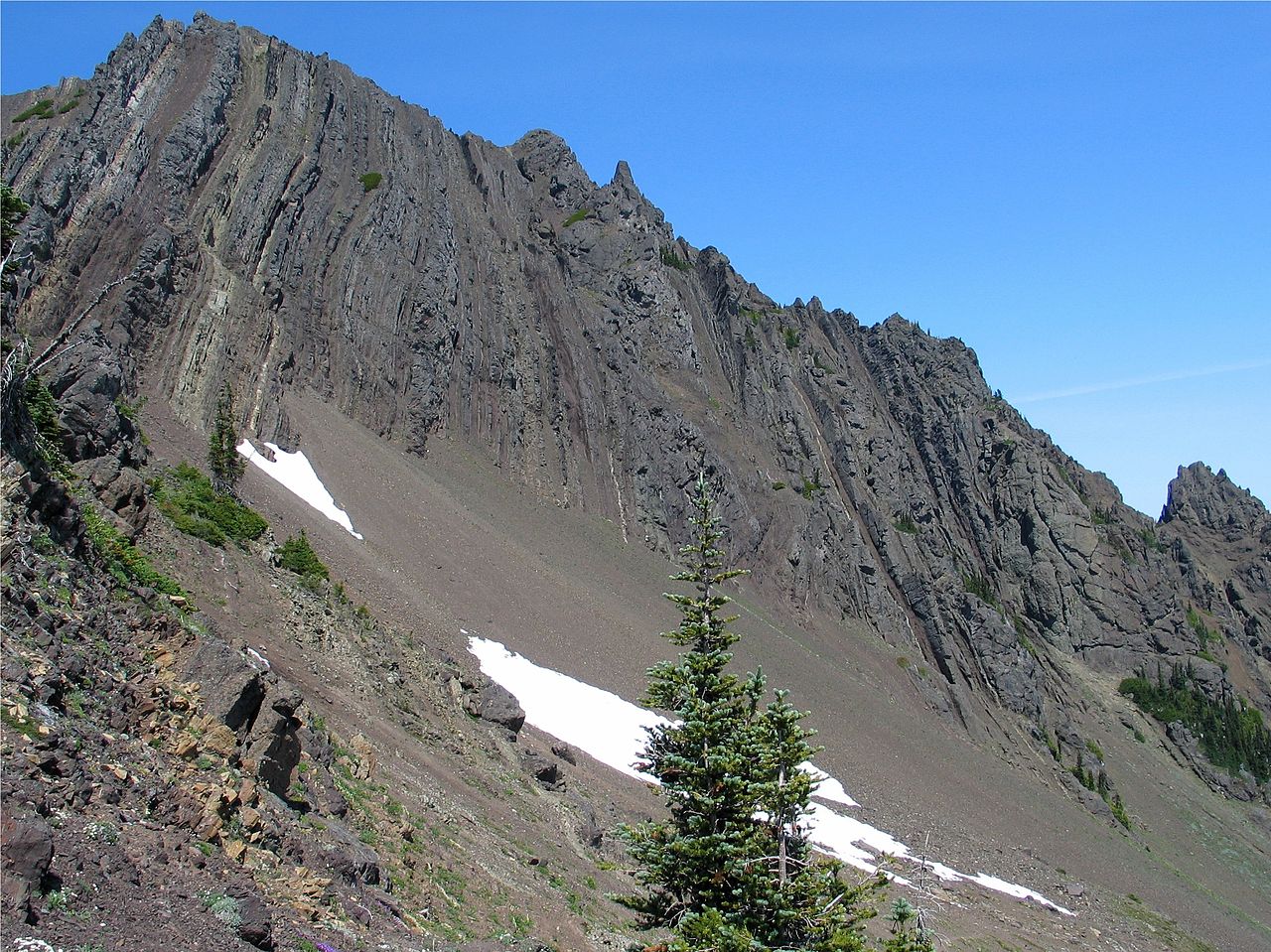
 Pyramid PeakMountain biking · ~32 min drivePhoto: inte the husky, CC BY 3.0 (via Wikimedia Commons)
- ShireMountain biking · Next door
- On RampMountain biking · Next door
- South LyreMountain biking · ~29 min drive
- ShireMountain biking · Next door
- West Phantom BearMountain biking · Next door
- 3 O'clock RidgeMountain biking · ~33 min drive
- Santa's VillageMountain biking · ~2 min drive
- Climbing TrailMountain biking · Next door
- Sleepy HollowMountain biking · ~39 min drive

Map and trail data © OpenStreetMap contributors
