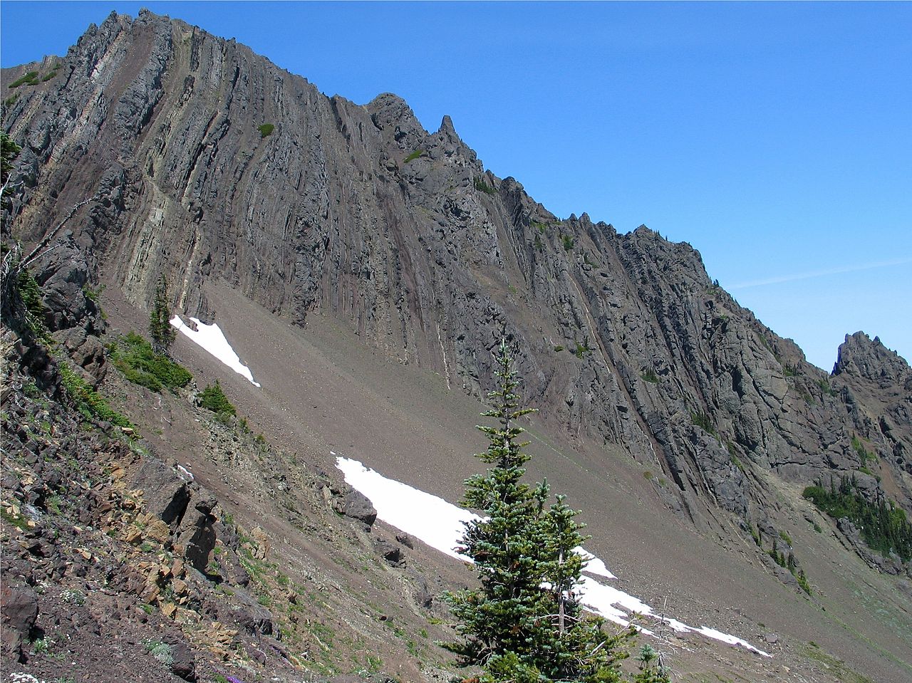
Heather Park Trail
 Photo: sf-dvs, CC BY 2.0 (via Wikimedia Commons)
- 6.1 mi
- round trip
- 5,628 ft
- climb
- 5,884 ft
- high point
- Out and back
- route
Is Heather Park Trail open right now?
Closure in the area
There's a closure order in Olympic National Park. It doesn't name Heather Park Trail, so check the source for the area it covers.
Hurricane Ridge Road Closed, Tuesday 11/17, 8:45am
Park closure covering Olympic National Park · NPS · Olympic National Park
Visitors to Rialto, Ruby Beach & Coastal Areas Cautioned Due to High Tides
Park alert covering Olympic National Park · NPS · Olympic National Park
Bat Tests Positive for Rabies, Visitors Urged to Report Potential Contact
Park alert covering Olympic National Park · NPS · Olympic National Park
Full Burn Ban Begins August 7
Park alert covering Olympic National Park · NPS · Olympic National Park
Staircase Developed Area is Open, Use Caution in Burned Areas
Park alert covering Olympic National Park · NPS · Olympic National Park
As of · Source: NPS · Olympic National Park. Agencies don't list every closure — check before you go.
Heather Park Trail is a 12.1-mile out-and-back hike in Olympic National Park, Washington, set within the Daniel J. Evans Wilderness. The route starts at about 3,794 feet and climbs to a high point of 5,884 feet, with a total elevation gain of 5,628 feet over the round trip. The National Park Service manages the land, and the trail is rated expert. The climb is steep, with the most significant gain in the first half of the route. Plan for about seven hours on foot, and expect a fee for the visit. The Heart of the Forest Trail lies about 1.3 miles away, and the West Bench and Tie Piece mountain biking areas are each about 1.6 miles off. Paddlers can reach Morse Creek, roughly 3.7 miles from the trail.
Local outfitters
- Olympic Hiking Co.6 mi away
- Elwha RV Park7 mi away
Not on Roamze yet. Their page has how to reach them.
- Heart of the Forest TrailHiking1.3 mi
- West BenchMountain biking1.6 mi
- Tie PieceMountain biking1.6 mi
 Morse CreekCanoeingPhoto: Evvekk, CC0 (via Wikimedia Commons)3.7 mi
- Elwha RiverRock climbing6.7 mi
- Waka BeachRock climbing6.8 mi
- The ElwhallRock climbing6.8 mi
- Maiden CreekCanoeing7.1 mi
Source: Roamze catalog (indexable pages within 10 miles, PostGIS distance)
 Lake Angeles TrailHiking · ~4 min drivePhoto: Robert Ashworth from Bellingham, WA., USA, CC BY 2.0 (via Wikimedia Commons)
 Hurricane Ridge to Klahhane Ridge TraiHiking · ~5 min drivePhoto: Scott Thompson, CC BY 3.0 (via Wikimedia Commons)
 High Ridge Nature TrailHiking · ~8 min drivePhoto: Gabriele Giuseppini, CC BY 3.0 (via Wikimedia Commons)
- Little River TrailHiking · ~4 min drive
 Cox Valley Primitive TrailHiking · ~8 min drivePhoto: Gabriele Giuseppini, CC BY 3.0 (via Wikimedia Commons)
 Humes Ranch Loop TrailHiking · ~12 min drivePhoto: Bala from Seattle, USA, CC BY-SA 2.0 (via Wikimedia Commons)
- Cirque Rim Nature TrailHiking · ~8 min drivePhoto: Gabriele Giuseppini, CC BY 3.0 (via Wikimedia Commons)
- Wolf Creek TrailHiking · ~8 min drive
 Elk Mountain TrailHiking · ~15 min drivePhoto: Jason Hollinger, CC BY 2.0 (via Wikimedia Commons)
- Heart of the Forest TrailHiking · ~2 min drive