West Sunny Side
- 1.1 mi
- round trip
- 1,600 ft
- climb
- Out and back
- route
West Sunny Side is a mountain biking route in Washington, managed by the State Department of Natural Resources. It is an out-and-back ride of about 2.3 miles, with a high point of 2,270 feet and a low of 1,697 feet. The climb totals about 1,600 feet, and the steepest stretch comes at roughly 0.97 miles in, with a grade of about 23 percent. The route is rated easy, and the round trip adds up to about 1,600 feet of climbing and descending. The closest neighbors are East Sunny Side, about 0.1 mile away, and Shire, about 0.3 mile away. On Ramp sits about 0.4 mile off. For a change of pace, the Elwha River climbing area is about 4.8 miles away.
Local outfitters
- Elwha RV Park5 mi away
- Salish Trails Campground8 mi away
Not on Roamze yet. Their page has how to reach them.
Keep exploring — more rides worth the drive
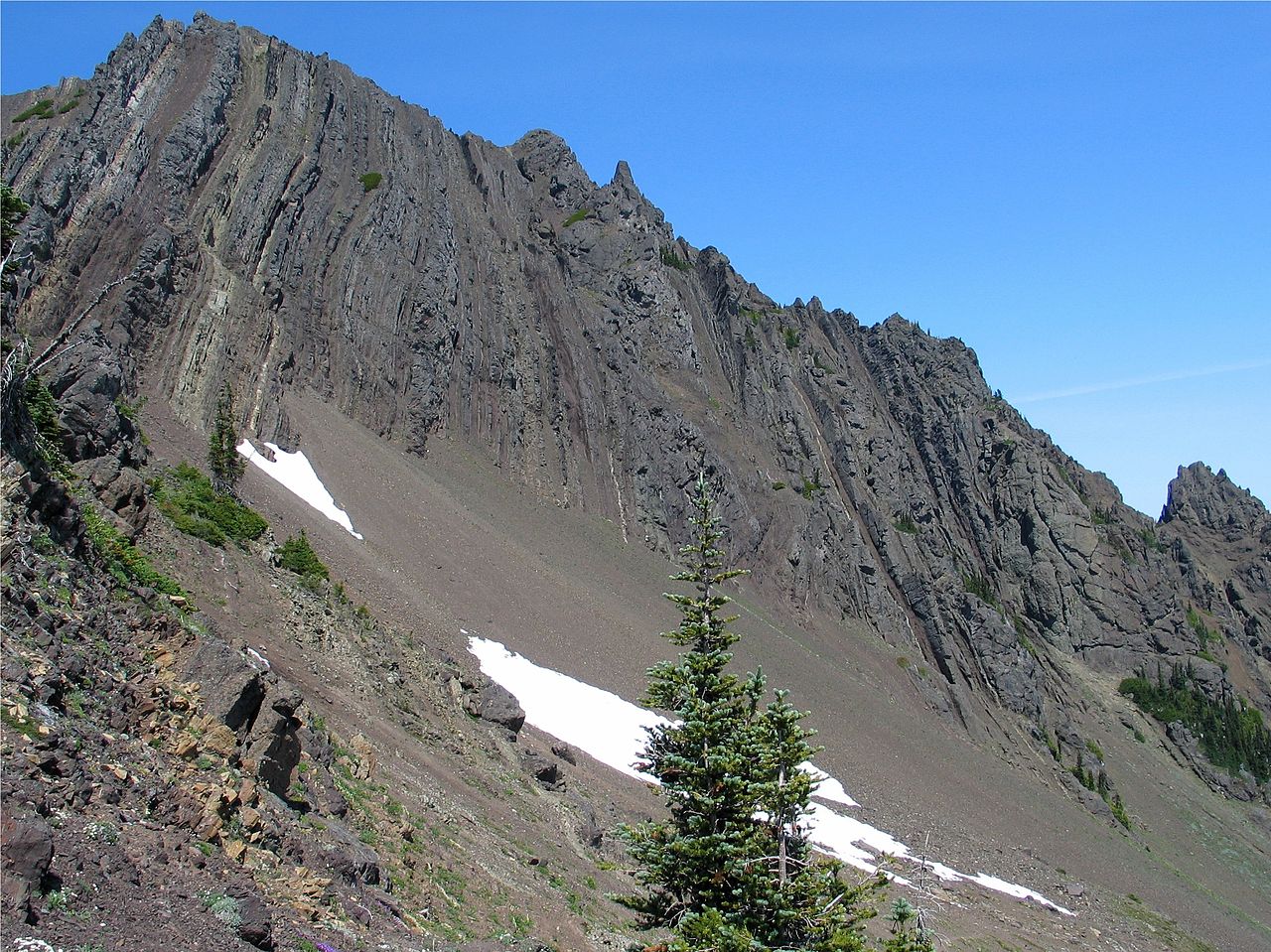
 Photo: inte the husky, CC BY 3.0 (via Wikimedia Commons)
Pyramid Peak
~32 min drive
6.85-mile trail in Spruce Railroad Trail system, 2901 ft elevation gain
RIDE
Shire
Next door
0.48-mile out-and-back trail in Washington with 126 ft of elevation gain
RIDE
On Ramp
Next door
0.84-mile out-and-back trail in Washington with 644 ft of elevation gain.
RIDE
South Lyre
~29 min drive
1.76-mile trail in Spruce Railroad Trail system, 870 ft elevation gain
RIDE
Shire
Next door
0.37-mile out-and-back trail in Washington with 99 ft of elevation gain.
RIDE
West Phantom Bear
Next door
0.98-mile easy out-and-back trail in Washington with 323 ft elevation gain.
RIDE
3 O'clock Ridge
~33 min drive
0.43-mile out-and-back trail on a ridge in Washington with 345 ft elevation gain.
RIDE
Santa's Village
~2 min drive
0.47-mile out-and-back trail in Washington with 146 ft elevation gain
RIDE
Climbing Trail
Next door
0.14-mile easy out-and-back trail in Washington with 309 ft elevation gain.
RIDE
Sleepy Hollow
~39 min drive
7.98-mile out-and-back trail in Washington with 1,497 ft elevation gain

Map and trail data © OpenStreetMap contributors
