Shire
- 0.5 mi
- round trip
- 181 ft
- climb
- Out and back
- route
Shire is a short, moderate mountain biking route in Washington, managed by the State Department of Natural Resources. It sits about half a mile from the nearest town, and the whole ride is under a mile long, making it an easy addition to a day spent exploring the surrounding trails. The climb is front-loaded, with the steepest stretch at about 0.23 miles into the route. The route starts at roughly 2,447 feet and reaches a high point of about 2,478 feet, with a total gain of about 181 feet for the round trip. The steepest grade is about 11 percent. Several other mountain biking routes lie within a third of a mile, including West Phantom Bear, East Sunny Side and West Sunny Side. Climbers can head to the Elwha River area, about 5 miles away.
Local outfitters
- Elwha RV Park5 mi away
- Salish Trails Campground8 mi away
Not on Roamze yet. Their page has how to reach them.
Keep exploring — more rides worth the drive
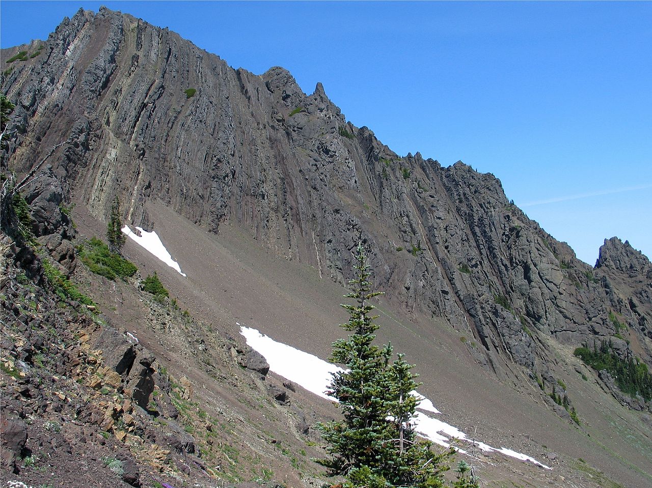
 Photo: inte the husky, CC BY 3.0 (via Wikimedia Commons)
Pyramid Peak
~33 min drive
6.85-mile trail in Spruce Railroad Trail system, 2901 ft elevation gain
RIDE
Shire
Next door
0.37-mile out-and-back trail in Washington with 99 ft of elevation gain.
RIDE
West Phantom Bear
Next door
0.98-mile easy out-and-back trail in Washington with 323 ft elevation gain.
RIDE
South Lyre
~30 min drive
1.76-mile trail in Spruce Railroad Trail system, 870 ft elevation gain
RIDE
Santa's Village
~2 min drive
0.47-mile out-and-back trail in Washington with 146 ft elevation gain
RIDE
West Sunny Side
Next door
1.14-mile easy out-and-back trail in Washington with 400 ft of elevation gain.
RIDE
3 O'clock Ridge
~33 min drive
0.43-mile out-and-back trail on a ridge in Washington with 345 ft elevation gain.
RIDE
Hwy.1
~43 min drive
0.25-mile out-and-back trail in Washington with 131 ft elevation gain.
RIDE
East Sunny Side
Next door
1.09-mile easy out-and-back trail in Washington with 460 ft elevation gain.
RIDE
Sleepy Hollow
~38 min drive
7.98-mile out-and-back trail in Washington with 1,497 ft elevation gain

Map and trail data © OpenStreetMap contributors
