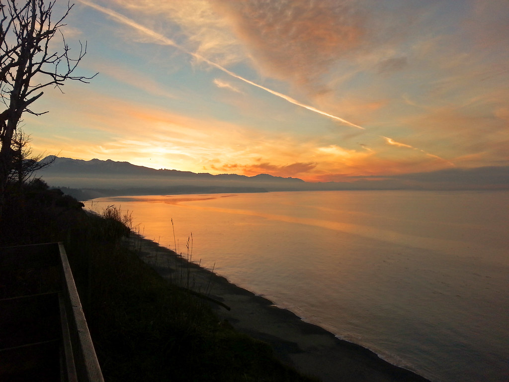
Siebert Creek
- 9.2 mi
- distance
- 915 ft
- high point
- May–Sep
- best months
Siebert Creek is a 9.2-mile paddling stretch near Port Angeles, Washington, managed by the State Department of Natural Resources. It flows year-round, with an average flow of about 39 cubic feet per second and a gradient of about 98.7 feet per mile, according to USGS models. Summer is the most comfortable time to paddle. Typical averages from a nearby weather station in Port Angeles show July and August highs around 67°F with only about six wet days a month, while winter months bring highs in the mid-40s and rain on most days. McDonald Creek, about 2.8 miles away, is the closest paddling option. For time on foot, Marmot Loop is about 5.2 miles off and Bluff Trail about 6 miles. Morse Creek, another paddling route, lies about 6 miles away.
Local outfitters
- Crescent Beach21 mi away
- Pedder Bay RV Resort & Marina23 mi away
Not on Roamze yet. Their page has how to reach them.
- McDonald CreekCanoeing2.8 mi
- Marmot LoopHiking5.2 mi
- Bluff TrailHiking6 mi
 Morse CreekCanoeingPhoto: Evvekk, CC0 (via Wikimedia Commons)6 mi
- Primitive TrailHiking6.4 mi
- Living Forest Nature TrailHiking6.7 mi
- Maiden CreekCanoeing7.2 mi
- Canyon CreekCanoeing7.8 mi
Source: Roamze catalog (indexable pages within 10 miles, PostGIS distance)
- Morse CreekCanoeing · ~10 min drivePhoto: Evvekk, CC0 (via Wikimedia Commons)
- Storm KingBoat launch · ~40 min drive
 Big Quilcene RiverCanoeing · ~40 min drivePhoto: brewbooks, CC BY-SA 2.0 (via Wikimedia Commons)
- Log Cabin ResortBoat launch · ~40 min drive
 Dosewallips RiverCanoeing · ~40 min drivePhoto: BlueCanoe, CC BY-SA 3.0 (via Wikimedia Commons)
- Fort Flagler Boat LaunchBoat launch · ~45 min drive
 Sol Duc RiverCanoeing · ~42 min drivePhoto: Kimon Berlin, CC BY-SA 2.0 (via Wikimedia Commons)
- Fort Flagler Boat LaunchBoat launch · ~45 min drive
 Lyre RiverCanoeing · ~43 min drivePhoto: Benjamin Cody, CC BY-SA 3.0 (via Wikimedia Commons)
- Cascade Marine Trail LandingBoat launch · ~45 min drive
Best time to visit Siebert Creek
Best months: May–September. Best months have typical highs of 55–85 °F, lows of 30 °F or warmer (32 °F where the station doesn't record snow), at most one snowy day and no more than 12 wet days.
Jan
45° / 37°
18 wet
Feb
46° / 37°
14 wet
Mar
49° / 39°
15 wet
Apr
54° / 42°
12 wet
May
60° / 48°
11 wet
Jun
63° / 51°
9 wet
Jul
67° / 55°
6 wet
Aug
67° / 55°
6 wet
Sep
65° / 51°
8 wet
Oct
55° / 45°
14 wet
Nov
49° / 40°
18 wet
Dec
44° / 37°
19 wet
Typical high / low (°F) and days with rain or snow, 1991–2020. Measured at Port Angeles, WA, 7.3 mi away at 90 ft. The station sits about 800 ft lower than this place, so expect it a little cooler here. This station doesn't record snowfall. Source: NOAA NCEI U.S. Climate Normals 1991–2020.