Little Beaver Trail
- 10.5 mi
- round trip
- 3,880 ft
- climb
- 2,401 ft
- high point
- Out and back
- route
- May–Sep
- best months
Is Little Beaver Trail open right now?
Closure in the area
There's a closure order in North Cascades National Park. It doesn't name Little Beaver Trail, so check the source for the area it covers (3 listed).
Cascade River Road Closed for the Winter Season
Park closure covering North Cascades National Park · NPS · North Cascades National Park
Fire Closures - Trail, Area, and Camp Closures
Park closure covering North Cascades National Park · NPS · North Cascades National Park
Hozomeen Gate Remains Closed
Park closure covering North Cascades National Park · NPS · North Cascades National Park
Be Aware of Break-ins along State Route 20
Park alert covering North Cascades National Park · NPS · North Cascades National Park
Diablo Lake Boat Launch Inaccessible to Powerboats
Park alert covering North Cascades National Park · NPS · North Cascades National Park
As of · Source: NPS · North Cascades National Park. Agencies don't list every closure — check before you go.
Little Beaver Trail is a 21-mile out-and-back hike in Washington's North Cascades National Park, within the Stephen Mather Wilderness. The route rises from a low point of 1,604 feet to a high of 2,401 feet, with a total elevation gain of 1,411 feet. The National Park Service manages the land, and the trail is rated hard. Summer is the most comfortable time to go. Typical averages from the nearby Ross Dam weather station show July and August highs around 79°F with only six or seven wet days a month, while winter brings highs in the upper 30s and rain on most days. That station sits well below the trail, so temperatures on the route run cooler. The trail starts close to Stillwell Camp Access, about 0.8 miles away. Luna Peak Route and Depot Creek Trail are both within about 5 miles, and the Mount Redoubt climbing area is about 4.9 miles off.
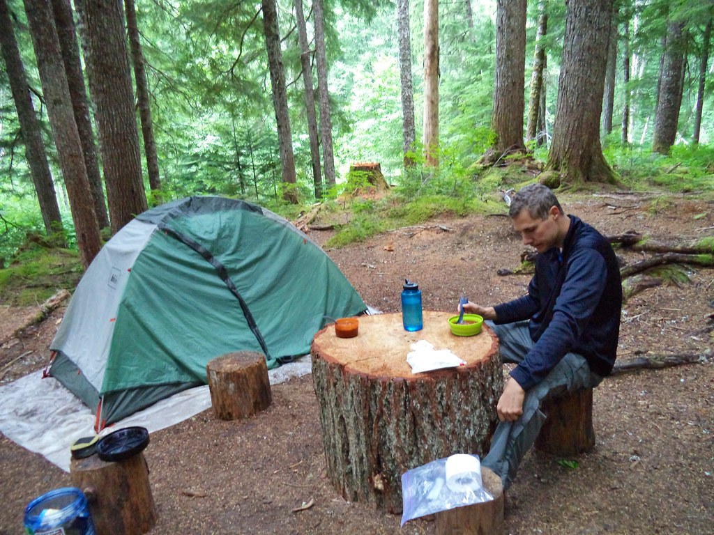 Stillwell Camp AccessHikingPhoto: daveynin — CC BY 2.0 (via Flickr)0.8 mi
- Luna Peak RouteHiking3.9 mi
- Depot Creek TrailHiking4.7 mi
- Mount RedoubtRock climbing4.9 mi
- Northern PicketsRock climbing6.1 mi
 Chilliwack TrailHikingPhoto: Ilya Katsnelson, CC BY 2.0 (via Wikimedia Commons)8.3 mi
- Chilliwack RiverCanoeing8.5 mi
- Southern PicketsRock climbing8.8 mi
Source: Roamze catalog (indexable pages within 10 miles, PostGIS distance)
- Stillwell Camp AccessHiking · ~1 min drivePhoto: daveynin — CC BY 2.0 (via Flickr)
- Chilliwack TrailHiking · ~14 min drivePhoto: Ilya Katsnelson, CC BY 2.0 (via Wikimedia Commons)
 Stetattle Creek TrailHiking · ~23 min drivePhoto: Seattle Municipal Archives from Seattle, WA, CC BY 2.0 (via Wikimedia Commons)
- Willow Lake TrailHiking · ~17 min drive
- Egg Lake Camp AccessHiking · ~18 min drivePhoto: Ilya Katsnelson, CC BY 2.0 (via Wikimedia Commons)
- Luna Peak RouteHiking · ~7 min drive
 Thornton Lakes TrailHiking · ~26 min drivePhoto: Walter Siegmund, CC BY 2.5 (via Wikimedia Commons)
- Hozomeen TrailHiking · ~17 min drive
 Trail of the ObeliskHiking · ~19 min drivePhoto: Seattle Municipal Archives from Seattle, WA, CC BY 2.0 (via Wikimedia Commons)
- Copper Ridge TrailHiking · ~18 min drive
Best time to visit Little Beaver Trail
Best months: May–September. Best months have typical highs of 55–85 °F, lows of 30 °F or warmer (32 °F where the station doesn't record snow), at most one snowy day and no more than 12 wet days.
Jan
38° / 30°
18 wet
Feb
41° / 30°
16 wet
Mar
47° / 33°
18 wet
Apr
56° / 38°
14 wet
May
65° / 45°
12 wet
Jun
70° / 50°
11 wet
Jul
79° / 55°
7 wet
Aug
79° / 56°
6 wet
Sep
70° / 50°
10 wet
Oct
56° / 43°
16 wet
Nov
44° / 35°
20 wet
Dec
38° / 31°
19 wet
Typical high / low (°F) and days with rain or snow, 1991–2020. Measured at Ross Dam, WA, 14.3 mi away at 1,236 ft. The station sits about 1,200 ft lower than this place, so expect it a little cooler here. This station doesn't record snowfall. Source: NOAA NCEI U.S. Climate Normals 1991–2020.

